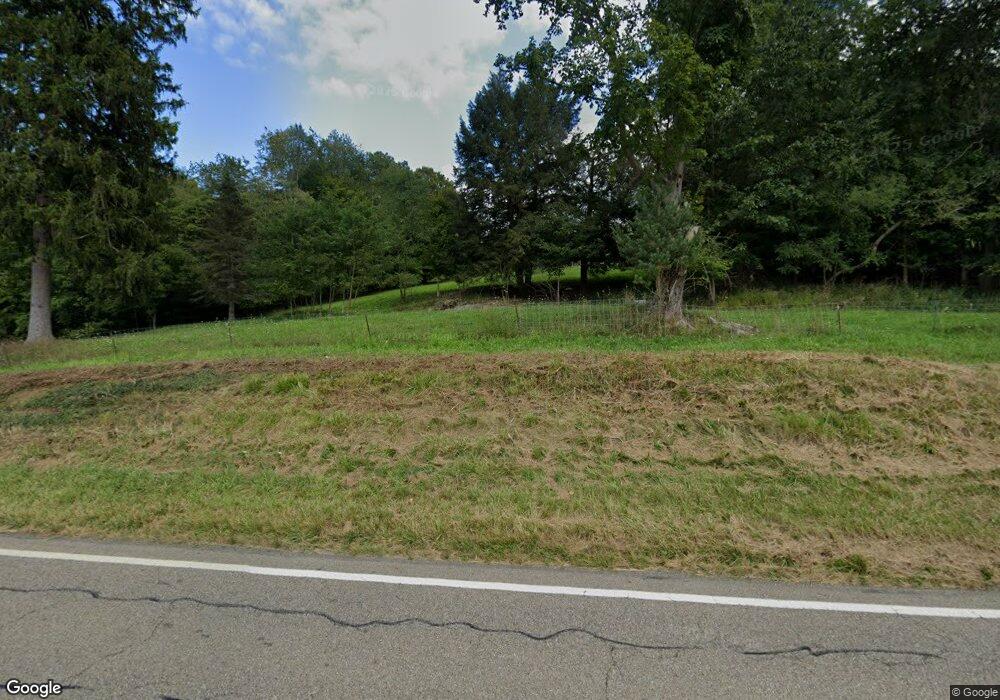
29178 State Route 83 Coshocton, OH 43812
Estimated Value: $84,000 - $95,000
Studio
--
Bath
--
Sq Ft
243,065
Sq Ft Lot
About This Home
This home is located at 29178 State Route 83, Coshocton, OH 43812 and is currently estimated at $88,506. 29178 State Route 83 is a home located in Coshocton County with nearby schools including River View High School and Shepler Ridge School.
Ownership History
Date
Name
Owned For
Owner Type
Purchase Details
Closed on
Aug 7, 2017
Sold by
Raber Henry A and Raber Marcelle L
Bought by
Miller Roy E and Miller Laura
Current Estimated Value
Purchase Details
Closed on
Jul 21, 2011
Sold by
Yoder Raymond and Yoder Lydia Ann
Bought by
Raber Henry A and Raber Marcelle L
Purchase Details
Closed on
Nov 10, 2010
Sold by
Nichols Henry D and Nichols Cathy A
Bought by
Yoder Raymond and Erb Jonas
Purchase Details
Closed on
Jan 27, 2006
Sold by
J J Detweiler Enterprises Inc
Bought by
Nichols Henry D and Nichols Cathy A
Purchase Details
Closed on
Sep 11, 1998
Bought by
Detweiler J J Enterprises Inc
Create a Home Valuation Report for This Property
The Home Valuation Report is an in-depth analysis detailing your home's value as well as a comparison with similar homes in the area
Purchase History
| Date | Buyer | Sale Price | Title Company |
|---|---|---|---|
| Miller Roy E | $40,000 | Fidelity Title Coshocton | |
| Raber Henry A | $20,000 | Fidelity Title Coshocton | |
| Yoder Raymond | $4,270 | Fidelity Title Coshocton | |
| Nichols Henry D | $50,000 | None Available | |
| Detweiler J J Enterprises Inc | -- | -- |
Source: Public Records
Tax History
| Year | Tax Paid | Tax Assessment Tax Assessment Total Assessment is a certain percentage of the fair market value that is determined by local assessors to be the total taxable value of land and additions on the property. | Land | Improvement |
|---|---|---|---|---|
| 2024 | $617 | $17,340 | $17,340 | $0 |
| 2023 | $617 | $11,596 | $11,596 | $0 |
| 2022 | $447 | $11,596 | $11,596 | $0 |
| 2021 | $447 | $11,596 | $11,596 | $0 |
| 2020 | $591 | $15,313 | $15,313 | $0 |
| 2019 | $604 | $15,313 | $15,313 | $0 |
| 2018 | $586 | $15,313 | $15,313 | $0 |
| 2017 | $509 | $13,055 | $13,055 | $0 |
| 2016 | $483 | $13,055 | $13,055 | $0 |
| 2015 | $355 | $13,055 | $13,055 | $0 |
| 2014 | $355 | $9,429 | $9,429 | $0 |
Source: Public Records
Map
Nearby Homes
- 26938 County Road 1
- 26774 Township Road 37
- 49870 Township Road 189
- 26140 Township Road 37
- 27778 Township Road 45
- 33127 State Route 83
- 0 Township Rd 408 Unit 5197859
- 25471 Township Road 192
- 25350 Township Road 192
- 23900 Airport Rd
- 42791 US Highway 36
- 46346 County Road 495
- 27858 Township Road 31
- 46723 Township Road 74
- 0 Retilley Drive Lot 4793 Dr
- 0 Retilley Drive Lot 4789 Dr
- 0 Retilley Drive Lot #4783 Dr
- 0 Retilley Drive Lot 4791 Dr
- 0 Retilley Drive Lot #4784 Dr
- 0 Retilley Drive Lot #4785 Dr
- 29021 State Route 83
- 29120 State Route 83
- 29252 State Route 83
- 29021 Ohio 83
- 29418 Township Road 209
- 28990 Ohio 83
- 28990 State Route 83 Unit 83
- 28990 State Route 83
- 29161 State Route 83
- 29325 State Route 83
- 29325 State Route 83 Unit 2
- 29448 Tr 209
- 28888 Ohio 83
- 29392 Township Road 209
- 28890 State Route 83
- 28888 State Route 83
- 28981 State Route 83
- 29381 State Route 83
- 29285 Sr 83
- 29285 State Route 83
Your Personal Tour Guide
Ask me questions while you tour the home.