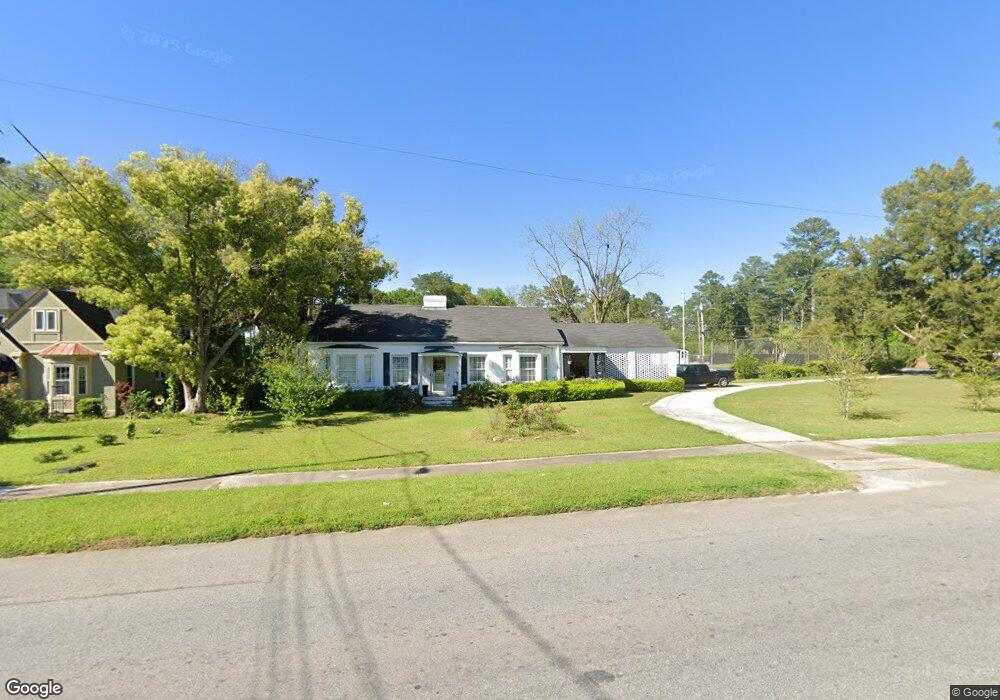
292 E Broad St Camilla, GA 31730
Estimated Value: $254,423 - $366,000
4
Beds
3
Baths
2,414
Sq Ft
$124/Sq Ft
Est. Value
About This Home
This home is located at 292 E Broad St, Camilla, GA 31730 and is currently estimated at $299,856, approximately $124 per square foot. 292 E Broad St is a home located in Mitchell County with nearby schools including Mitchell County Primary School, Mitchell County Elementary School, and Mitchell County Middle School.
Ownership History
Date
Name
Owned For
Owner Type
Purchase Details
Closed on
Apr 2, 2024
Sold by
Davis Priscilla
Bought by
5Th 3Rd Mortgage Co
Current Estimated Value
Purchase Details
Closed on
Sep 1, 2021
Sold by
Davis Priscilla W
Bought by
Live Oak Trust
Purchase Details
Closed on
Mar 30, 2006
Sold by
Burson Mary G
Bought by
Davis Priscilla
Home Financials for this Owner
Home Financials are based on the most recent Mortgage that was taken out on this home.
Original Mortgage
$145,000
Interest Rate
6.29%
Mortgage Type
New Conventional
Create a Home Valuation Report for This Property
The Home Valuation Report is an in-depth analysis detailing your home's value as well as a comparison with similar homes in the area
Home Values in the Area
Average Home Value in this Area
Purchase History
| Date | Buyer | Sale Price | Title Company |
|---|---|---|---|
| 5Th 3Rd Mortgage Co | -- | -- | |
| Live Oak Trust | -- | -- | |
| Davis Priscilla | $145,000 | -- |
Source: Public Records
Mortgage History
| Date | Status | Borrower | Loan Amount |
|---|---|---|---|
| Previous Owner | Davis Priscilla | $145,000 |
Source: Public Records
Tax History
| Year | Tax Paid | Tax Assessment Tax Assessment Total Assessment is a certain percentage of the fair market value that is determined by local assessors to be the total taxable value of land and additions on the property. | Land | Improvement |
|---|---|---|---|---|
| 2025 | $3,408 | $86,904 | $10,000 | $76,904 |
| 2024 | $3,413 | $86,904 | $10,000 | $76,904 |
| 2023 | $3,653 | $86,904 | $10,000 | $76,904 |
| 2022 | $2,919 | $69,434 | $10,000 | $59,434 |
| 2021 | $2,629 | $64,194 | $10,000 | $54,194 |
| 2020 | $2,629 | $64,194 | $10,000 | $54,194 |
| 2019 | $2,567 | $62,966 | $10,000 | $52,966 |
| 2018 | $2,497 | $57,246 | $10,000 | $47,246 |
| 2017 | $2,737 | $64,998 | $10,000 | $54,998 |
| 2016 | $2,702 | $64,998 | $10,000 | $54,998 |
| 2015 | $2,702 | $64,998 | $10,000 | $54,998 |
| 2014 | $2,702 | $64,998 | $10,000 | $54,998 |
| 2013 | $2,702 | $64,998 | $10,000 | $54,998 |
Source: Public Records
Map
Nearby Homes
- 7 S Macarthur Dr
- 107 Morningside Dr
- 180 Lincoln Place
- 20 Bailey Dr
- 208 E Church St
- 99 E Stephens St
- 176 Walker St
- 150 Walker St
- 15 E Church St
- 81 S Harney St
- 175 N Harney St
- 70 S Butler St
- 0 Butler St
- 343 Wilson St
- 122 Heath St
- 75 Newton St
- 69 Newton St
- 87 Newton St
- 199 McDonald St
- 356 E Camellia Dr
- 286 E Broad St
- 26 N Macarthur Dr
- 30 N Macarthur Dr
- 320 Moultrie Rd
- 278 E Broad St
- 277 E Broad St
- 6 S Macarthur Dr
- 7 N Macarthur Dr
- 271 E Broad St
- 340 Moultrie Rd
- 16 S Macarthur Dr
- 21 S Macarthur Dr
- 24 S Macarthur Dr
- 329 Moultrie Rd
- 32 S Macarthur Dr
- 41 N Macarthur Dr
- 37 S Macarthur Dr
- 352 Moultrie Rd
- Hwy 37 Moultrie Rd
- 0 U S 19
Your Personal Tour Guide
Ask me questions while you tour the home.