292 N Main St Freeport, NY 11520
Estimated Value: $574,055
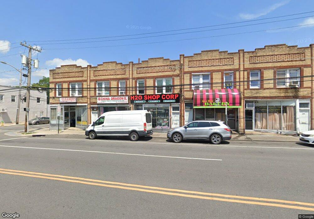
About This Home
This home is located at 292 N Main St, Freeport, NY 11520 and is currently estimated at $574,055, approximately $132 per square foot. 292 N Main St is a home located in Nassau County with nearby schools including Caroline G. Atkinson Intermediate School, Columbus Avenue School, and John W Dodd Middle School.
Ownership History
We collect this data history from publicly available records. To have your information removed, we recommend requesting removal directly through your county’s website.
Purchase Details
Home Financials for this Owner
Home Financials are based on the most recent Mortgage that was taken out on this home.Purchase Details
Home Values in the Area
Average Home Value in this Area
Purchase History
We collect this data history from publicly available records. To have your information removed, we recommend requesting removal directly through your county’s website.
| Date | Buyer | Sale Price | Title Company |
|---|---|---|---|
| $345,000 | Commonwealth Land Title | ||
| $150,000 | Thomas P Dougherty |
Mortgage History
We collect this data history from publicly available records. To have your information removed, we recommend requesting removal directly through your county’s website.
| Date | Status | Borrower | Loan Amount |
|---|---|---|---|
| Open | $150,000 |
Tax History
We collect this data history from publicly available records. To have your information removed, we recommend requesting removal directly through your county’s website.
| Year | Tax Paid | Tax Assessment Tax Assessment Total Assessment is a certain percentage of the fair market value that is determined by local assessors to be the total taxable value of land and additions on the property. | Land | Improvement |
|---|---|---|---|---|
| 2026 | $9,433 | $2,608 | $423 | $2,185 |
| 2025 | $9,433 | $2,608 | $423 | $2,185 |
| 2024 | $1,067 | $2,608 | $423 | $2,185 |
| 2023 | $8,637 | $2,608 | $423 | $2,185 |
| 2022 | $8,637 | $2,608 | $423 | $2,185 |
| 2021 | $12,691 | $2,468 | $423 | $2,045 |
| 2020 | $8,955 | $1,596 | $436 | $1,160 |
| 2019 | $1,637 | $1,596 | $436 | $1,160 |
| 2018 | $1,540 | $1,596 | $0 | $0 |
| 2017 | $7,895 | $1,596 | $436 | $1,160 |
| 2016 | $9,158 | $1,596 | $436 | $1,160 |
| 2015 | $1,109 | $1,596 | $436 | $1,160 |
| 2014 | $1,109 | $1,596 | $436 | $1,160 |
| 2013 | $1,049 | $1,596 | $436 | $1,160 |
Map
- 20 Lillian Ave
- 50 Leonard Ave
- 216 N Ocean Ave
- 101 Harris Ave
- 67 E Dean St
- 65 Mount Joy Ave
- 27 W Woodbine Dr
- 117 Woodside Ave
- 161 Wallace St
- 15 Westfield Ave
- 67 Ellison Ave
- 188 Woodside Ave
- 261 Rutland Rd
- 154 E Dean St
- 139 New York Ave
- 189 Evans Ave
- 101 Wallace St
- 400 N Columbus Ave
- 24 Pleasant Ave
- 14 Chelsea Ct
Ask me questions while you tour the home.