2922 Marston Rd Unit D New Windsor, MD 21776
Estimated Value: $530,000 - $660,373
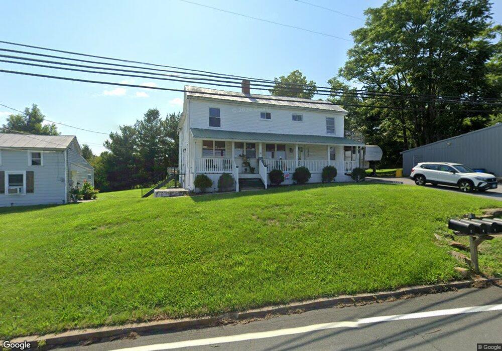
About This Home
This home is located at 2922 Marston Rd Unit D, New Windsor, MD 21776 and is currently estimated at $577,093, approximately $324 per square foot. 2922 Marston Rd Unit D is a home located in Carroll County with nearby schools including Winfield Elementary School, Mount Airy Middle School, and South Carroll High School.
Ownership History
We collect this data history from publicly available records. To have your information removed, we recommend requesting removal directly through your county’s website.
Purchase Details
Purchase Details
Purchase Details
Home Financials for this Owner
Home Financials are based on the most recent Mortgage that was taken out on this home.Purchase Details
Purchase History
We collect this data history from publicly available records. To have your information removed, we recommend requesting removal directly through your county’s website.
| Date | Buyer | Sale Price | Title Company |
|---|---|---|---|
| $218,000 | Servicelink Llc | ||
| $247,000 | None Available | ||
| $292,500 | Blue Ridge Title Company | ||
| -- | -- |
Mortgage History
We collect this data history from publicly available records. To have your information removed, we recommend requesting removal directly through your county’s website.
| Date | Status | Borrower | Loan Amount |
|---|---|---|---|
| Previous Owner | $282,262 |
Tax History
We collect this data history from publicly available records. To have your information removed, we recommend requesting removal directly through your county’s website.
| Year | Tax Paid | Tax Assessment Tax Assessment Total Assessment is a certain percentage of the fair market value that is determined by local assessors to be the total taxable value of land and additions on the property. | Land | Improvement |
|---|---|---|---|---|
| 2025 | $4,816 | $424,733 | $0 | $0 |
| 2024 | $4,509 | $391,900 | $134,000 | $257,900 |
| 2023 | $4,400 | $387,600 | $0 | $0 |
| 2022 | $4,352 | $383,300 | $0 | $0 |
| 2021 | $4,304 | $379,000 | $134,000 | $245,000 |
| 2020 | $4,063 | $357,500 | $0 | $0 |
| 2019 | $3,420 | $336,000 | $0 | $0 |
| 2018 | $3,618 | $314,500 | $134,000 | $180,500 |
| 2017 | $3,582 | $314,500 | $0 | $0 |
| 2016 | -- | $314,500 | $0 | $0 |
| 2015 | -- | $331,700 | $0 | $0 |
| 2014 | -- | $331,700 | $0 | $0 |
Map
- 2900 Marston Rd
- 3026 Marston Rd
- 2108 Dennings Rd
- 3174 Cardinal Dr
- 3733 Ridge Rd
- Parcel # 22 Sams Creek Rd
- 3204 Hooper Rd
- 0 Bowersox Rd
- 2237 Sams Creek Rd
- 3204 Buffalo Rd
- 2318 Beren Ln
- 2185 Sams Creek Rd
- 2301 Sandel Ln
- 2217 Cherokee Dr
- 2140 Marston Rd
- 2613 Liberty Rd
- 3788 Roop Rd
- 4328 Ridge Rd Unit 13
- 932 Bear Branch Rd
- 3391 Salem Bottom Rd
- 2922 Marston Rd Unit 2
- 2922 Marston Rd
- 3004 Glenvue Dr
- 2918 Marston Rd
- 3006 Glenvue Dr
- 2230 Dennings Rd
- 3009 Glenvue Dr
- 2910 Marston Rd
- 2943 Marston Rd
- 3010 Glenvue Dr
- 3008 Glenvue Dr
- Dennings Rd
- 2224 Dennings Rd
- 3012 Glenvue Dr
- 2218 Dennings Rd
- 3010 Marston Rd
- 2307 Doctor Stitely Rd
- 2225 Doctor Stitely Rd
- 2311 Doctor Stitely Rd
- 2221 Doctor Stitely Rd
Ask me questions while you tour the home.