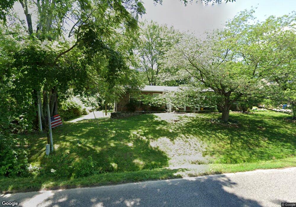
2925 Tenbrook Rd Arnold, MO 63010
Estimated Value: $237,000 - $270,000
Studio
1
Bath
1,008
Sq Ft
$257/Sq Ft
Est. Value
About This Home
This home is located at 2925 Tenbrook Rd, Arnold, MO 63010 and is currently estimated at $259,131, approximately $257 per square foot. 2925 Tenbrook Rd is a home with nearby schools including Clyde Hamrick Elementary School, Fox Middle School, and Fox Senior High School.
Ownership History
Date
Name
Owned For
Owner Type
Purchase Details
Closed on
Jan 29, 2013
Sold by
Spink Jeffery W and Spink Karen A
Bought by
Spink Jeffrey W and Spink Karen A
Current Estimated Value
Home Financials for this Owner
Home Financials are based on the most recent Mortgage that was taken out on this home.
Original Mortgage
$108,000
Outstanding Balance
$75,163
Interest Rate
3.39%
Mortgage Type
New Conventional
Estimated Equity
$183,968
Purchase Details
Closed on
Sep 26, 2003
Sold by
Dickinson Dorothy M
Bought by
Spink Jeffery W and Flanigan Karen A
Create a Home Valuation Report for This Property
The Home Valuation Report is an in-depth analysis detailing your home's value as well as a comparison with similar homes in the area
Home Values in the Area
Average Home Value in this Area
Purchase History
| Date | Buyer | Sale Price | Title Company |
|---|---|---|---|
| Spink Jeffrey W | -- | None Available | |
| Spink Jeffery W | -- | Commonwealth Land Title |
Source: Public Records
Mortgage History
| Date | Status | Borrower | Loan Amount |
|---|---|---|---|
| Open | Spink Jeffrey W | $108,000 |
Source: Public Records
Tax History
| Year | Tax Paid | Tax Assessment Tax Assessment Total Assessment is a certain percentage of the fair market value that is determined by local assessors to be the total taxable value of land and additions on the property. | Land | Improvement |
|---|---|---|---|---|
| 2025 | $1,581 | $24,300 | $2,100 | $22,200 |
| 2024 | $1,581 | $22,600 | $2,100 | $20,500 |
| 2023 | $1,581 | $22,600 | $2,100 | $20,500 |
| 2022 | $1,518 | $21,300 | $2,100 | $19,200 |
| 2021 | $1,519 | $21,300 | $2,100 | $19,200 |
| 2020 | $1,451 | $19,300 | $1,900 | $17,400 |
| 2019 | $1,455 | $19,300 | $1,900 | $17,400 |
| 2018 | $1,446 | $19,300 | $1,900 | $17,400 |
| 2017 | $1,468 | $19,300 | $1,900 | $17,400 |
| 2016 | $1,249 | $17,600 | $1,900 | $15,700 |
| 2015 | $1,252 | $17,600 | $1,900 | $15,700 |
| 2013 | -- | $17,000 | $1,700 | $15,300 |
Source: Public Records
Map
Nearby Homes
- 2929 Tenbrook Rd
- 0 Unknown Unit 22001740
- 0 Unknown Unit 22071117
- 0 Unknown Unit 22001730
- 0 Unknown Unit 21017758
- 1258 Arnold Tenbrook Rd
- 2721 Rose Dr
- 2631 Georgia Dr
- 672 Berrywine Ln
- 2846 Fannie Dr
- 866 Sunset Dr
- 747 Esther Dr
- 1951 Fox Pointe Dr
- 1294 Windcrest Cir
- 324 Bramtonn Place
- 721 Leolia Dr
- 447 June Dr
- 0000 Botanical Dr
- 2558 Frederitzi Ln
- 170 Bogey Blvd
- 2917 Tenbrook Rd
- 2922 Tenbrook Rd
- 2926 Tenbrook Rd
- 1118 Foxwood Estates
- 1118 Foxwood Estates (Lot 37)
- 1118 Foxwood Estates Dr
- 2915 Tenbrook Rd
- 2915 Tenbrook Rd
- 1122 Foxwood Estates Dr
- 1114 Foxwood Estates Dr
- 2932 Tenbrook Rd
- 1065 Southcrest Dr
- 1126 Foxwood Estates Dr
- 1048 Southcrest Dr
- 1055 Southcrest Dr
- 0 Unknown Unit 18076827
- 0 Unknown Unit 18076825
- 0 Unknown Unit 18076824
- 0 Unknown Unit 17002688
- 0 Unknown Unit 17002687
Your Personal Tour Guide
Ask me questions while you tour the home.