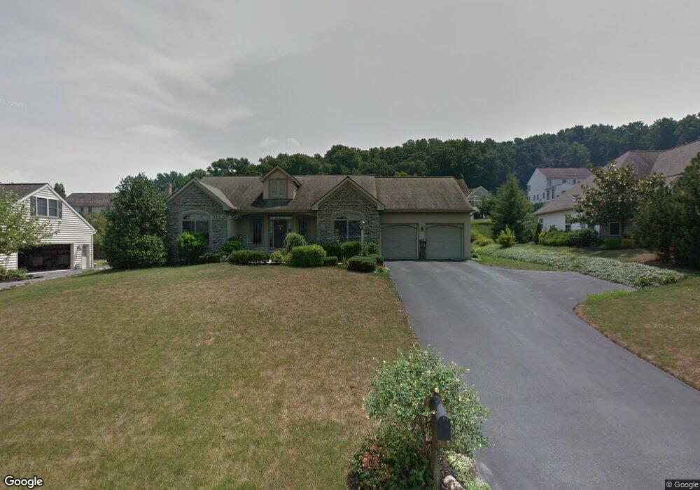
2928 Bowman Rd Lancaster, PA 17601
East Hempfield NeighborhoodEstimated Value: $425,425 - $507,000
3
Beds
2
Baths
1,796
Sq Ft
$260/Sq Ft
Est. Value
About This Home
This home is located at 2928 Bowman Rd, Lancaster, PA 17601 and is currently estimated at $467,106, approximately $260 per square foot. 2928 Bowman Rd is a home located in Lancaster County with nearby schools including Landisville Primary Center, Landisville Middle School, and Hempfield High School.
Ownership History
Date
Name
Owned For
Owner Type
Purchase Details
Closed on
Dec 9, 2014
Sold by
Fortier Norman J and Fortier Christine B
Bought by
Fortier Norman J
Current Estimated Value
Purchase Details
Closed on
Aug 24, 1998
Sold by
Esbenshade H Glenn and Witmer Leslie K
Bought by
Fortier Norman J and Fortier Christine B
Home Financials for this Owner
Home Financials are based on the most recent Mortgage that was taken out on this home.
Original Mortgage
$171,600
Outstanding Balance
$40,973
Interest Rate
6.9%
Mortgage Type
Construction
Estimated Equity
$426,133
Create a Home Valuation Report for This Property
The Home Valuation Report is an in-depth analysis detailing your home's value as well as a comparison with similar homes in the area
Home Values in the Area
Average Home Value in this Area
Purchase History
| Date | Buyer | Sale Price | Title Company |
|---|---|---|---|
| Fortier Norman J | -- | None Available | |
| Fortier Norman J | $49,900 | -- |
Source: Public Records
Mortgage History
| Date | Status | Borrower | Loan Amount |
|---|---|---|---|
| Open | Fortier Norman J | $171,600 |
Source: Public Records
Tax History
| Year | Tax Paid | Tax Assessment Tax Assessment Total Assessment is a certain percentage of the fair market value that is determined by local assessors to be the total taxable value of land and additions on the property. | Land | Improvement |
|---|---|---|---|---|
| 2025 | $5,210 | $241,100 | $59,300 | $181,800 |
| 2024 | $5,210 | $241,100 | $59,300 | $181,800 |
| 2023 | $5,106 | $241,100 | $59,300 | $181,800 |
| 2022 | $4,966 | $241,100 | $59,300 | $181,800 |
| 2021 | $4,887 | $241,100 | $59,300 | $181,800 |
| 2020 | $4,887 | $241,100 | $59,300 | $181,800 |
| 2019 | $4,804 | $241,100 | $59,300 | $181,800 |
| 2018 | $945 | $241,100 | $59,300 | $181,800 |
| 2017 | $5,691 | $226,000 | $56,200 | $169,800 |
| 2016 | $5,690 | $226,000 | $56,200 | $169,800 |
| 2015 | $1,142 | $226,000 | $56,200 | $169,800 |
| 2014 | $4,274 | $226,000 | $56,200 | $169,800 |
Source: Public Records
Map
Nearby Homes
- 2838 Harrisburg Pike
- 1137 Devonshire Rd
- 1109 Nissley Rd
- 1049 Signal Hill Ln
- 1037 Signal Hill Ln
- 3242 Elmae Dr
- 1021 Steeplechase Dr
- 3206 Bowman Rd
- 105 Park Place
- 3206 Nolt Rd
- 974 Hermosa Ave
- 2977 Hearthside Ln
- 575 Church St
- 903 Country Place Dr
- 1100 Sunwood Ln
- 820 Paddington Dr
- 1032 Sunwood Ln
- 107 Treetops Dr
- 290 Church St
- 217 Winding Hill Dr
- 2924 Bowman Rd
- 2932 Bowman Rd
- 1209 Empire Cir
- 1213 Empire Cir
- 1205 Empire Cir
- 2936 Bowman Rd
- 1200 Woodworth Dr
- 1301 Crown Vetch Dr
- 1217 Empire Cir
- 1201 Empire Cir
- 1301 Pennscott Dr
- 1304 Pennscott Dr
- 2940 Bowman Rd
- 1221 Empire Cir
- 1305 Crown Vetch Dr
- 2917 Bowman Rd
- 1201 Woodworth Dr
- 1308 Pennscott Dr
- 1205 Woodworth Dr
- 1300 Crown Vetch Dr
Your Personal Tour Guide
Ask me questions while you tour the home.