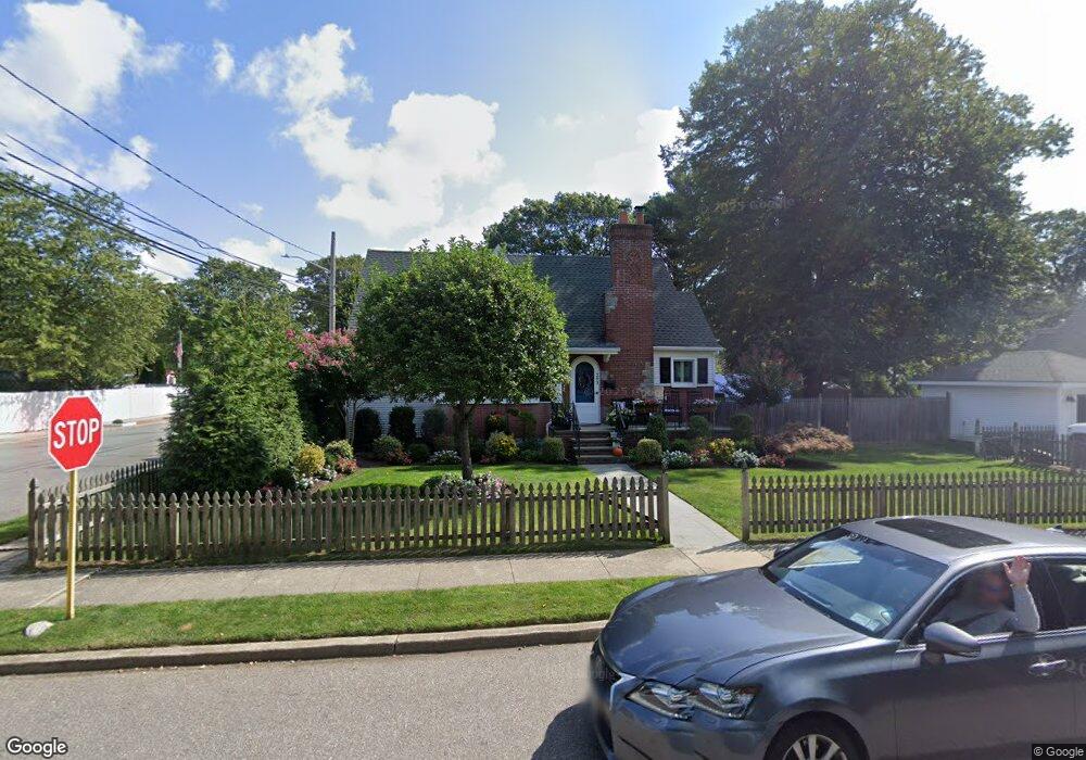
293 Litchfield Ave Babylon, NY 11702
Estimated Value: $678,000 - $805,000
3
Beds
2
Baths
1,528
Sq Ft
$477/Sq Ft
Est. Value
About This Home
This home is located at 293 Litchfield Ave, Babylon, NY 11702 and is currently estimated at $729,507, approximately $477 per square foot. 293 Litchfield Ave is a home located in Suffolk County with nearby schools including Babylon Elementary School, Babylon Memorial Grade School, and Babylon High School.
Ownership History
Date
Name
Owned For
Owner Type
Purchase Details
Closed on
Aug 3, 2021
Bought by
Cotugno Matthew and Cotugno Amanda
Current Estimated Value
Purchase Details
Closed on
Oct 17, 2012
Sold by
Tulchin Deborah
Home Financials for this Owner
Home Financials are based on the most recent Mortgage that was taken out on this home.
Original Mortgage
$286,400
Interest Rate
3.5%
Mortgage Type
New Conventional
Purchase Details
Closed on
Apr 10, 1995
Sold by
Macnair Timothy J and Macnair Karen A
Bought by
Tulchin Deborah
Create a Home Valuation Report for This Property
The Home Valuation Report is an in-depth analysis detailing your home's value as well as a comparison with similar homes in the area
Home Values in the Area
Average Home Value in this Area
Purchase History
| Date | Buyer | Sale Price | Title Company |
|---|---|---|---|
| Cotugno Matthew | $600,000 | None Available | |
| -- | $358,000 | -- | |
| Tulchin Deborah | $153,500 | First American Title Ins Co |
Source: Public Records
Mortgage History
| Date | Status | Borrower | Loan Amount |
|---|---|---|---|
| Previous Owner | Mcnamee Sean | $286,400 |
Source: Public Records
Tax History
| Year | Tax Paid | Tax Assessment Tax Assessment Total Assessment is a certain percentage of the fair market value that is determined by local assessors to be the total taxable value of land and additions on the property. | Land | Improvement |
|---|---|---|---|---|
| 2024 | $12,173 | $3,430 | $290 | $3,140 |
| 2023 | $11,263 | $3,430 | $290 | $3,140 |
| 2022 | $8,786 | $3,430 | $290 | $3,140 |
| 2021 | $8,786 | $3,430 | $290 | $3,140 |
| 2020 | $10,118 | $3,430 | $290 | $3,140 |
| 2019 | $10,102 | $0 | $0 | $0 |
| 2018 | $8,872 | $3,430 | $290 | $3,140 |
| 2017 | $8,872 | $3,430 | $290 | $3,140 |
| 2016 | $8,785 | $3,430 | $290 | $3,140 |
| 2015 | -- | $3,430 | $290 | $3,140 |
| 2014 | -- | $3,430 | $290 | $3,140 |
Source: Public Records
Map
Nearby Homes
- 83 Vanderbilt Ave
- 28 Vanderbilt Ave
- 104 Hawthorne Ave
- 214 Ralph Ave
- 104 Frederick Ave
- 359 Park Ave
- 204 Millard Ave Unit 204
- 190 Millard Ave Unit 190
- 22 Berkshire Rd
- 519 Gwynn St
- 61 Livingston Ave
- 418 Old Farmingdale Rd
- 45 Arnold Ave
- 49 Arnold Ave
- 252 Locust Ave
- 14 Cumberland St
- 5 Rosebud Ln
- 610 Bermuda Rd
- 9 Hinton Ave
- 60 Little East Neck Rd
- 126 Beverly Rd
- 285 Litchfield Ave
- 138 Beverly Rd
- 299 Litchfield Ave
- 136 Beverly Rd
- 281 Litchfield Ave
- 140 Beverly Rd
- 282 Litchfield Ave
- 188 Cadman Ave
- 184 Cadman Ave
- 301 Litchfield Ave
- 275 Litchfield Ave
- 180 Cadman Ave
- 137 Beverly Rd
- 278 Litchfield Ave
- 194 Cadman Ave
- 146 Beverly Rd
- 305 Litchfield Ave
- 174 Cadman Ave
- 276 Litchfield Ave
Your Personal Tour Guide
Ask me questions while you tour the home.