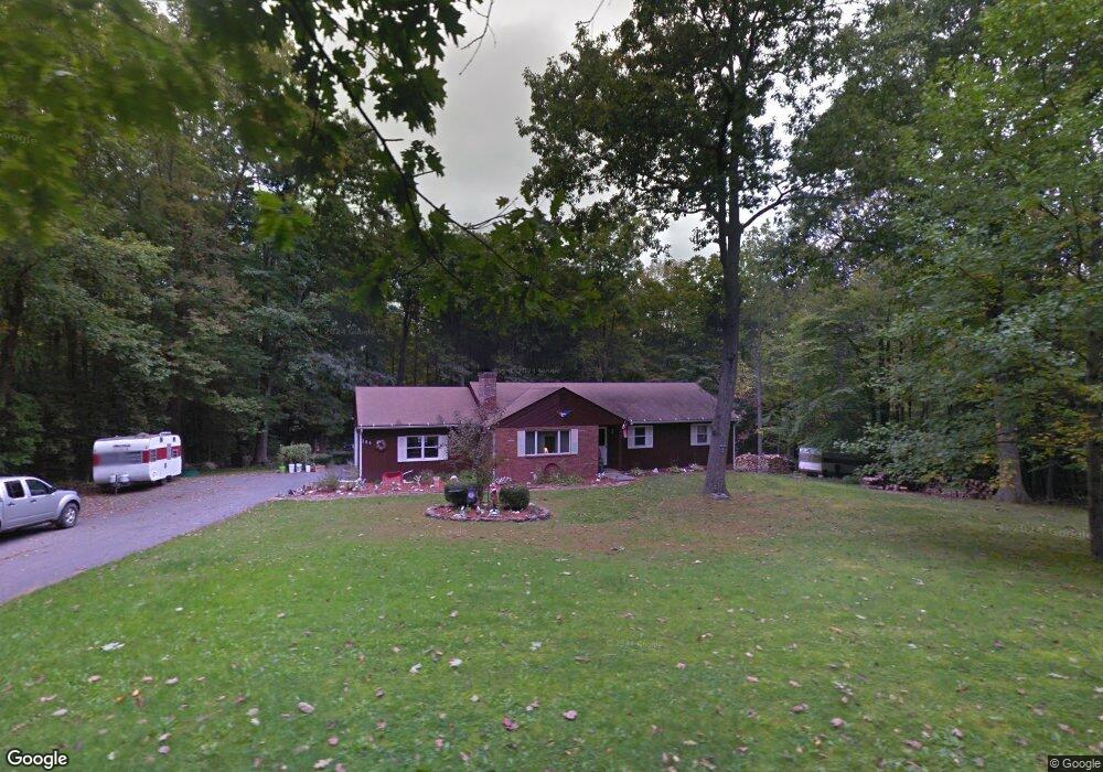
294 John Brown Rd Torrington, CT 06790
Estimated Value: $322,000 - $353,000
3
Beds
3
Baths
1,372
Sq Ft
$246/Sq Ft
Est. Value
About This Home
This home is located at 294 John Brown Rd, Torrington, CT 06790 and is currently estimated at $337,697, approximately $246 per square foot. 294 John Brown Rd is a home located in Litchfield County with nearby schools including Torrington Middle School, Torrington High School, and St. John Paul the Great Academy.
Ownership History
Date
Name
Owned For
Owner Type
Purchase Details
Closed on
Jun 29, 2007
Sold by
Riley Peter F and Riley Martha D
Bought by
Madia Victor A and Madia Charlotte J
Current Estimated Value
Home Financials for this Owner
Home Financials are based on the most recent Mortgage that was taken out on this home.
Original Mortgage
$232,050
Interest Rate
6.24%
Create a Home Valuation Report for This Property
The Home Valuation Report is an in-depth analysis detailing your home's value as well as a comparison with similar homes in the area
Home Values in the Area
Average Home Value in this Area
Purchase History
| Date | Buyer | Sale Price | Title Company |
|---|---|---|---|
| Madia Victor A | $273,000 | -- |
Source: Public Records
Mortgage History
| Date | Status | Borrower | Loan Amount |
|---|---|---|---|
| Open | Madia Victor A | $235,400 | |
| Closed | Madia Victor A | $232,050 | |
| Previous Owner | Madia Victor A | $25,427 | |
| Previous Owner | Madia Victor A | $45,785 |
Source: Public Records
Tax History
| Year | Tax Paid | Tax Assessment Tax Assessment Total Assessment is a certain percentage of the fair market value that is determined by local assessors to be the total taxable value of land and additions on the property. | Land | Improvement |
|---|---|---|---|---|
| 2025 | $7,383 | $192,010 | $33,040 | $158,970 |
| 2024 | $5,283 | $110,140 | $33,070 | $77,070 |
| 2023 | $5,282 | $110,140 | $33,070 | $77,070 |
| 2022 | $5,192 | $110,140 | $33,070 | $77,070 |
| 2021 | $5,085 | $110,140 | $33,070 | $77,070 |
| 2020 | $5,085 | $110,140 | $33,070 | $77,070 |
| 2019 | $5,002 | $108,330 | $37,480 | $70,850 |
| 2018 | $5,002 | $108,330 | $37,480 | $70,850 |
| 2017 | $4,956 | $108,330 | $37,480 | $70,850 |
| 2016 | $4,956 | $108,330 | $37,480 | $70,850 |
| 2015 | $4,956 | $108,330 | $37,480 | $70,850 |
| 2014 | $5,090 | $140,130 | $55,410 | $84,720 |
Source: Public Records
Map
Nearby Homes
- 123 Mill Ln Unit 123
- 454 Norfolk Rd
- 420 Norfolk Rd
- 1833 Mountain Rd
- 12 Meadowcrest Dr N
- 305 Westledge Dr
- 0 Meadowcrest N Unit 24161216
- 000 Newfield Rd
- 68 Westledge Terrace
- 0 Stoneridge Dr
- 0 Meyer Rd
- 1739 Weed Rd
- 140 Homestead Rd
- 213 Spring St
- 617 Guerdat Rd
- 80 Baron Ln
- 75 Hunter Ct Unit 75
- 79 Hunter Ct
- 155 Allen Rd
- 157 Red Mountain Ave
- 265 John Brown Rd
- 3 John Brown Rd
- 2 John Brown Rd
- 1 John Brown Rd
- 321 John Brown Rd
- 231 John Brown Rd
- 114 John Brown Rd
- 90 John Brown Rd
- 71 John Brown Rd
- 5 John Brown Rd
- 4 John Brown Rd
- 0 John Brown Rd
- 670 University Dr
- 12 University Dr
- 557 University Dr
- 505 University Dr
- 608 University Dr
- 514 University Dr
- 540 University Dr
- 393 University Dr
Your Personal Tour Guide
Ask me questions while you tour the home.