2945 Amethyst Ln Iron Station, NC 28080
Estimated Value: $288,000 - $389,000
About This Home
This home is located at 2945 Amethyst Ln, Iron Station, NC 28080 and is currently estimated at $328,548, approximately $162 per square foot. 2945 Amethyst Ln is a home located in Lincoln County with nearby schools including Iron Station Elementary School, East Lincoln Middle School, and East Lincoln High School.
Ownership History
We collect this data history from publicly available records. To have your information removed, we recommend requesting removal directly through your county’s website.
Purchase Details
Home Financials for this Owner
Home Financials are based on the most recent Mortgage that was taken out on this home.Purchase Details
Purchase History
We collect this data history from publicly available records. To have your information removed, we recommend requesting removal directly through your county’s website.
| Date | Buyer | Sale Price | Title Company |
|---|---|---|---|
| $119,000 | None Available | ||
| $67,500 | -- |
Mortgage History
We collect this data history from publicly available records. To have your information removed, we recommend requesting removal directly through your county’s website.
| Date | Status | Borrower | Loan Amount |
|---|---|---|---|
| Open | $112,575 |
Tax History
We collect this data history from publicly available records. To have your information removed, we recommend requesting removal directly through your county’s website.
| Year | Tax Paid | Tax Assessment Tax Assessment Total Assessment is a certain percentage of the fair market value that is determined by local assessors to be the total taxable value of land and additions on the property. | Land | Improvement |
|---|---|---|---|---|
| 2025 | $1,701 | $252,166 | $62,712 | $189,454 |
| 2024 | $1,661 | $248,974 | $62,712 | $186,262 |
| 2023 | $1,622 | $248,966 | $62,704 | $186,262 |
| 2022 | $1,129 | $137,904 | $45,304 | $92,600 |
| 2021 | $1,117 | $136,217 | $45,304 | $90,913 |
| 2020 | $975 | $136,217 | $45,304 | $90,913 |
| 2019 | $975 | $136,217 | $45,304 | $90,913 |
| 2018 | $949 | $116,050 | $42,844 | $73,206 |
| 2017 | $844 | $116,050 | $42,844 | $73,206 |
| 2016 | $844 | $116,050 | $42,844 | $73,206 |
| 2015 | $918 | $116,050 | $42,844 | $73,206 |
| 2014 | $1,018 | $132,131 | $43,804 | $88,327 |
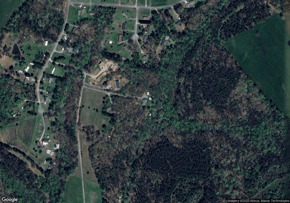
Map
- 821 Latrobe Dr
- 382 Alexis High Shoals Rd
- 2031 Redskin Trail
- 5329 E Highway 27 Hwy
- 4242 John Ritchie Rd
- 4376 Scenic View Ct
- 3020 Archer Way Dr
- 1607 Freemont Dr
- 3542 Orchard Rd
- 6 Hager Mountain Ln
- 1305 Craig Dr
- 3136 Philadelphia Church Rd
- 1259 Hardin Rd
- 1222 Hardin Rd
- 1249 Hardin Rd
- 0001 Mayberry Rd
- 4106 Olga Ct
- 2032 Rocky Creek Ln
- 3511 Randleman Rd
- 3132 Fox Den Cir
- 2951 Amethyst Ln
- 2797 Wingtip Ct
- 2957 Amethyst Ln
- 2767 Wingtip Ct
- 2909 Amethyst Ln
- 2774 Wingtip Ct
- 2486 Longneck Dr
- 2771 Wingtip Ct
- 2782 Wingtip Ct
- 2783 Wingtip Ct
- 2494 Longneck Dr
- 3003 Amethyst Ln
- 2793 Wingtip Ct
- 2791 Hudson Poultry Rd
- 2717 Hudson Poultry Rd
- 2755 Hudson Poultry Rd
- 2763 Hudson Poultry Rd
- 2420 Longneck Dr
- 2773 Hudson Poultry Rd
- 2783 Hudson Poultry Rd
Ask me questions while you tour the home.