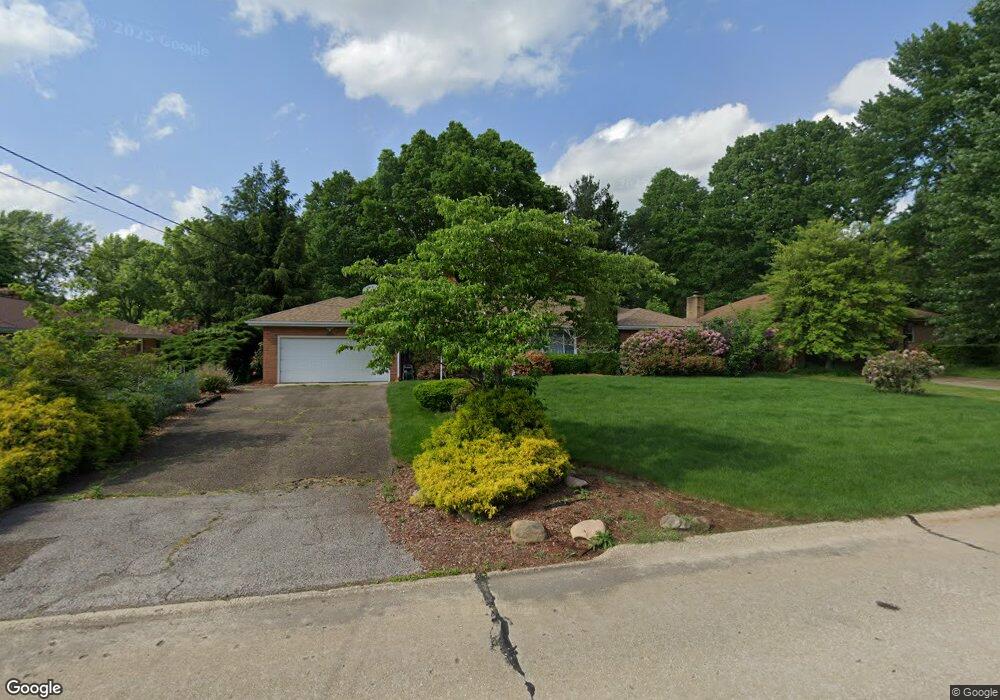
2945 Bancroft Rd Fairlawn, OH 44333
Estimated Value: $311,000 - $354,000
About This Home
This home is located at 2945 Bancroft Rd, Fairlawn, OH 44333 and is currently estimated at $336,473, approximately $151 per square foot. 2945 Bancroft Rd is a home located in Summit County with nearby schools including Copley-Fairlawn Middle School, Copley High School, and Fairlawn Lutheran School.
Ownership History
We collect this data history from publicly available records. To have your information removed, we recommend requesting removal directly through your county’s website.
Purchase Details
Home Financials for this Owner
Home Financials are based on the most recent Mortgage that was taken out on this home.Purchase Details
Home Values in the Area
Average Home Value in this Area
Purchase History
We collect this data history from publicly available records. To have your information removed, we recommend requesting removal directly through your county’s website.
| Date | Buyer | Sale Price | Title Company |
|---|---|---|---|
| $140,000 | None Available | ||
| -- | -- |
Mortgage History
We collect this data history from publicly available records. To have your information removed, we recommend requesting removal directly through your county’s website.
| Date | Status | Borrower | Loan Amount |
|---|---|---|---|
| Open | $126,000 |
Tax History
We collect this data history from publicly available records. To have your information removed, we recommend requesting removal directly through your county’s website.
| Year | Tax Paid | Tax Assessment Tax Assessment Total Assessment is a certain percentage of the fair market value that is determined by local assessors to be the total taxable value of land and additions on the property. | Land | Improvement |
|---|---|---|---|---|
| 2026 | $9,237 | $106,530 | $17,525 | $89,005 |
| 2024 | $3,854 | $106,530 | $17,525 | $89,005 |
| 2023 | $3,951 | $106,530 | $17,525 | $89,005 |
| 2022 | $3,424 | $80,238 | $13,178 | $67,060 |
| 2021 | $3,216 | $80,238 | $13,178 | $67,060 |
| 2020 | $3,144 | $80,240 | $13,180 | $67,060 |
| 2019 | $2,813 | $65,960 | $12,520 | $53,440 |
| 2018 | $2,756 | $65,960 | $12,520 | $53,440 |
| 2017 | $2,416 | $65,960 | $12,520 | $53,440 |
| 2016 | $2,414 | $55,640 | $12,520 | $43,120 |
| 2015 | $2,416 | $55,640 | $12,520 | $43,120 |
| 2014 | $2,407 | $55,640 | $12,520 | $43,120 |
| 2013 | $2,706 | $61,690 | $12,520 | $49,170 |
Map
- 2950 Morewood Rd
- 2834 Bancroft Rd
- 3087 Stanley Rd
- 3132 Coy Dr
- 96 S Miller Rd
- 2834 Riviera Dr
- 2854 Riviera Dr
- 327 S Miller Rd
- 71 Winchester Rd
- 136 Blue Hill Ln
- 3312 Bancroft Rd
- 2515 Holgate Rd
- 3331 Edington Rd
- 2952 Greenspire Ln
- 630 Moorfield Rd
- 3379 S Smith Rd
- 2984 Silver Maple Dr
- 250 Schocalog Rd
- 186 Court Dr Unit 105
- 151 Shiawassee Ave
- 2935 Bancroft Rd
- 383 Nye Dr
- 2954 Stanley Rd
- 371 Nye Dr
- 2946 Bancroft Rd
- 2936 Bancroft Rd
- 2966 Stanley Rd
- 2956 Bancroft Rd
- 2917 Bancroft Rd
- 384 Nye Dr
- 2928 Bancroft Rd
- 2951 Stanley Rd
- 2978 Stanley Rd
- 365 Nye Dr
- 2918 Bancroft Rd
- 2905 Bancroft Rd
- 370 Nye Dr
- 2974 Bancroft Rd
- 2993 Bancroft Rd
- 2911 Erie Dr
Ask me questions while you tour the home.