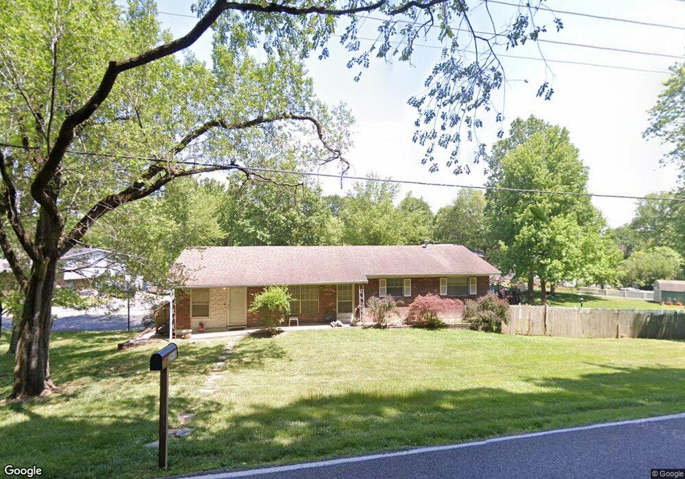
2948 Tenbrook Rd Arnold, MO 63010
Estimated Value: $223,752 - $308,000
Studio
1
Bath
1,344
Sq Ft
$205/Sq Ft
Est. Value
About This Home
This home is located at 2948 Tenbrook Rd, Arnold, MO 63010 and is currently estimated at $276,188, approximately $205 per square foot. 2948 Tenbrook Rd is a home located in Jefferson County with nearby schools including Rockport Heights Elementary School, Fox Middle School, and Fox Senior High School.
Ownership History
Date
Name
Owned For
Owner Type
Purchase Details
Closed on
Nov 18, 2002
Sold by
Lackey Kimberley L and Lackey Benjamin K
Bought by
Lackey Benjamin K and Lackey Kimberley L
Current Estimated Value
Home Financials for this Owner
Home Financials are based on the most recent Mortgage that was taken out on this home.
Original Mortgage
$96,800
Interest Rate
6.13%
Create a Home Valuation Report for This Property
The Home Valuation Report is an in-depth analysis detailing your home's value as well as a comparison with similar homes in the area
Home Values in the Area
Average Home Value in this Area
Purchase History
| Date | Buyer | Sale Price | Title Company |
|---|---|---|---|
| Lackey Benjamin K | -- | Enterprise Title |
Source: Public Records
Mortgage History
| Date | Status | Borrower | Loan Amount |
|---|---|---|---|
| Closed | Lackey Benjamin K | $96,800 |
Source: Public Records
Tax History
| Year | Tax Paid | Tax Assessment Tax Assessment Total Assessment is a certain percentage of the fair market value that is determined by local assessors to be the total taxable value of land and additions on the property. | Land | Improvement |
|---|---|---|---|---|
| 2025 | $1,679 | $25,500 | $2,900 | $22,600 |
| 2024 | $1,679 | $24,000 | $2,900 | $21,100 |
| 2023 | $1,679 | $24,000 | $2,900 | $21,100 |
| 2022 | $1,711 | $24,000 | $2,900 | $21,100 |
| 2021 | $1,712 | $24,000 | $2,900 | $21,100 |
| 2020 | $1,624 | $21,600 | $2,500 | $19,100 |
| 2019 | $1,629 | $21,600 | $2,500 | $19,100 |
| 2018 | $1,619 | $21,600 | $2,500 | $19,100 |
| 2017 | $1,643 | $21,600 | $2,500 | $19,100 |
| 2016 | $1,391 | $19,600 | $2,700 | $16,900 |
| 2015 | $1,394 | $19,600 | $2,700 | $16,900 |
| 2013 | -- | $19,400 | $2,700 | $16,700 |
Source: Public Records
Map
Nearby Homes
- 2929 Tenbrook Rd
- 0 Unknown Unit 22001740
- 0 Unknown Unit 22071117
- 0 Unknown Unit 22001730
- 0 Unknown Unit 21017758
- 1258 Arnold Tenbrook Rd
- 2721 Rose Dr
- 2631 Georgia Dr
- 672 Berrywine Ln
- 2846 Fannie Dr
- 1951 Fox Pointe Dr
- 866 Sunset Dr
- 747 Esther Dr
- 324 Bramtonn Place
- 1294 Windcrest Cir
- 170 Bogey Blvd
- 721 Leolia Dr
- 0000 Botanical Dr
- 3335 Boca Raton Dr
- 2558 Frederitzi Ln
- 1022 Southgate Dr
- 1029 Southgate Dr
- 1024 Southgate Dr
- 0Lot 35 Tenbrook Manor Estates
- 2958 Tenbrook Rd
- 2938 Tenbrook Rd
- 1019 Southgate Dr
- 1010 Southgate Dr
- 1186 Foxwood Estates Dr
- 1193 Foxwood Estates Dr
- 1009 Southgate Dr
- 1182 Foxwood Estates Dr
- 2932 Tenbrook Rd
- 1002 Southgate Dr
- 1032 Southcrest Dr
- 1178 Foxwood Estates Dr
- 1000 Southgate Dr
- 1024 Southcrest Dr
- 1040 Southcrest Dr
- 1185 Foxwood Estates Dr
Your Personal Tour Guide
Ask me questions while you tour the home.