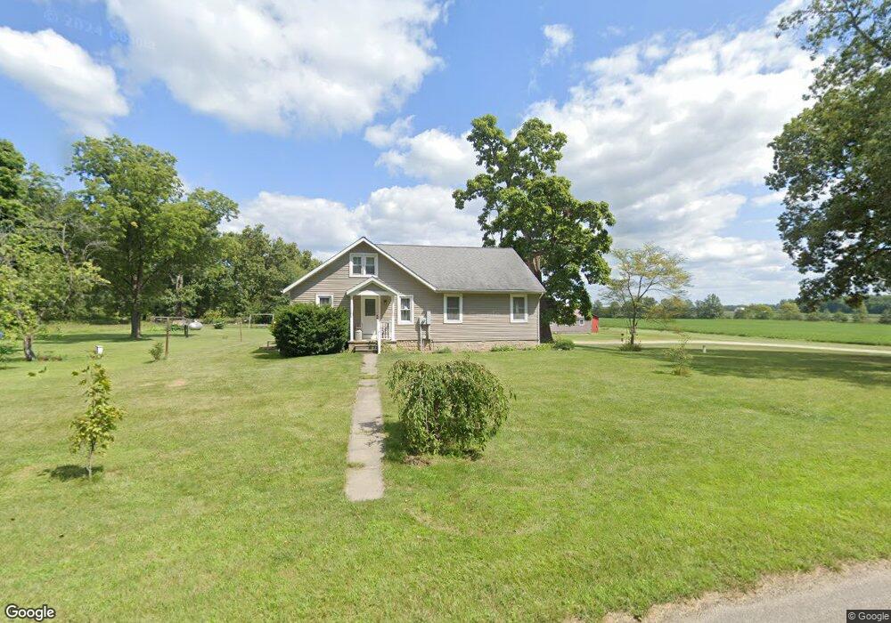
2949 N 650 E Decatur, IN 46733
Estimated Value: $245,000 - $292,522
3
Beds
1
Bath
2,032
Sq Ft
$134/Sq Ft
Est. Value
About This Home
This home is located at 2949 N 650 E, Decatur, IN 46733 and is currently estimated at $273,131, approximately $134 per square foot. 2949 N 650 E is a home located in Adams County with nearby schools including Adams Central Elementary School, Adams Central Middle School, and Adams Central High School.
Create a Home Valuation Report for This Property
The Home Valuation Report is an in-depth analysis detailing your home's value as well as a comparison with similar homes in the area
Tax History
| Year | Tax Paid | Tax Assessment Tax Assessment Total Assessment is a certain percentage of the fair market value that is determined by local assessors to be the total taxable value of land and additions on the property. | Land | Improvement |
|---|---|---|---|---|
| 2025 | $1,528 | $219,000 | $42,200 | $176,800 |
| 2024 | $1,513 | $202,000 | $42,200 | $159,800 |
| 2023 | $1,523 | $188,300 | $42,200 | $146,100 |
| 2022 | $1,379 | $175,700 | $42,200 | $133,500 |
| 2021 | $1,298 | $162,900 | $37,200 | $125,700 |
| 2020 | $1,230 | $158,400 | $37,200 | $121,200 |
| 2019 | $1,081 | $156,300 | $37,200 | $119,100 |
| 2018 | $1,071 | $152,600 | $37,200 | $115,400 |
| 2017 | $1,032 | $147,600 | $33,800 | $113,800 |
| 2016 | $791 | $142,800 | $33,800 | $109,000 |
| 2014 | $746 | $136,300 | $33,800 | $102,500 |
| 2013 | $844 | $133,100 | $33,800 | $99,300 |
Source: Public Records
Map
Nearby Homes
- 3020 Wren Landeck Rd
- 403 Riley St
- 100 Sprague St
- 302 Simpson St
- 610 Fort Recovery Rd
- 3900 N Salem Rd
- 0 E 400 N
- 1224 E Monroe St
- 2061 S Salem Rd
- 122 Brookwood Dr
- 2501 E 100 S
- 1503 High St
- 205 W Grant St
- 815 Everhart Dr
- 1214 E Bellmont Rd
- 323 S 1st St
- 911 Hickory Ct
- 773 Sycamore St
- 903 Winchester St
- 816 Sycamore St
Your Personal Tour Guide
Ask me questions while you tour the home.