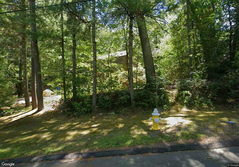
295 Bennett St Wrentham, MA 02093
Estimated Value: $628,000 - $764,000
3
Beds
2
Baths
2,029
Sq Ft
$339/Sq Ft
Est. Value
About This Home
This home is located at 295 Bennett St, Wrentham, MA 02093 and is currently estimated at $687,865, approximately $339 per square foot. 295 Bennett St is a home located in Norfolk County with nearby schools including Delaney Elementary School and Charles E Roderick.
Ownership History
Date
Name
Owned For
Owner Type
Purchase Details
Closed on
Feb 11, 2021
Sold by
Kern Edward L and Kern Mary E
Bought by
Kern Ft
Current Estimated Value
Purchase Details
Closed on
Jan 13, 1994
Sold by
Wallwork Gregory C
Bought by
Kern Edward L and Kern Mary E
Home Financials for this Owner
Home Financials are based on the most recent Mortgage that was taken out on this home.
Original Mortgage
$126,000
Interest Rate
7.22%
Mortgage Type
Purchase Money Mortgage
Create a Home Valuation Report for This Property
The Home Valuation Report is an in-depth analysis detailing your home's value as well as a comparison with similar homes in the area
Purchase History
| Date | Buyer | Sale Price | Title Company |
|---|---|---|---|
| Kern Ft | -- | None Available | |
| Kern Edward L | $157,500 | -- |
Source: Public Records
Mortgage History
| Date | Status | Borrower | Loan Amount |
|---|---|---|---|
| Previous Owner | Kern Edward L | $126,000 | |
| Previous Owner | Kern Edward L | $126,000 | |
| Previous Owner | Kern Edward L | $25,000 |
Source: Public Records
Tax History
| Year | Tax Paid | Tax Assessment Tax Assessment Total Assessment is a certain percentage of the fair market value that is determined by local assessors to be the total taxable value of land and additions on the property. | Land | Improvement |
|---|---|---|---|---|
| 2025 | $6,618 | $571,000 | $304,100 | $266,900 |
| 2024 | $6,378 | $531,500 | $304,100 | $227,400 |
| 2023 | $6,272 | $497,000 | $276,500 | $220,500 |
| 2022 | $6,112 | $447,100 | $258,000 | $189,100 |
| 2021 | $5,786 | $411,200 | $225,400 | $185,800 |
| 2020 | $5,723 | $401,600 | $200,600 | $201,000 |
| 2019 | $5,671 | $401,600 | $200,600 | $201,000 |
| 2018 | $5,401 | $379,300 | $200,800 | $178,500 |
| 2017 | $5,084 | $356,800 | $197,000 | $159,800 |
| 2016 | $4,874 | $341,300 | $191,300 | $150,000 |
| 2015 | $4,753 | $317,300 | $183,900 | $133,400 |
| 2014 | $4,674 | $305,300 | $176,800 | $128,500 |
Source: Public Records
Map
Nearby Homes
- 440 Chestnut St
- 613 West St
- 10 Earle Stewart Ln Unit Lot 5
- 12 Earle Stewart Ln
- 2 Earle Stewart Ln
- 3 Earle Stewart Ln
- 1222 South St
- 135 Creek St Unit 2
- 6 Woodchester Rd
- 20 Field Cir
- 440 South St
- 19 Chestnut St Lot 2
- 19 Chestnut St Lot 3
- 165 Wampum St
- 23 Horseshoe Dr
- 0 Fall Ln
- 500 Franklin St
- 1 Chestnut St
- 0 Berry St
- 11 Amber Dr
- 285 Bennett St
- 304 Bennett St
- 305 Bennett St
- 305 Bennett St Unit 305
- 315 Bennett St
- 306 Bennett St
- 275 Bennett St
- 296 Bennett St
- 325 Bennett St
- 308 Bennett St
- 337 Bennett St
- 255 Bennett St
- 331 Bennett St
- 251 Bennett St
- 318 Bennett St
- 310 Bennett St
- 314 Bennett St
- 272 Bennett St
- 320 Bennett St
- 345 Bennett St
Your Personal Tour Guide
Ask me questions while you tour the home.