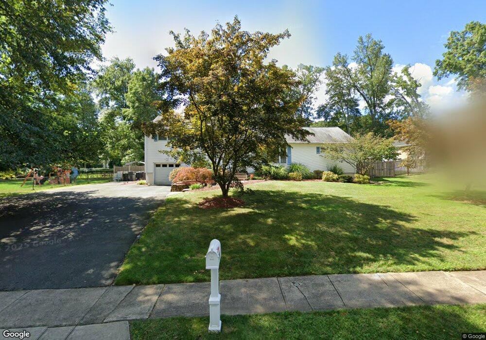
295 Malapardis Rd Morris Plains, NJ 07950
Estimated Value: $689,422 - $838,000
Studio
--
Bath
1,950
Sq Ft
$405/Sq Ft
Est. Value
About This Home
This home is located at 295 Malapardis Rd, Morris Plains, NJ 07950 and is currently estimated at $789,106, approximately $404 per square foot. 295 Malapardis Rd is a home located in Morris County with nearby schools including Whippany Park High School, Unity Charter School, and Allegro School.
Ownership History
Date
Name
Owned For
Owner Type
Purchase Details
Closed on
Jul 18, 1994
Sold by
Ashley Dave
Bought by
Bratcher Glenn and Bratcher Sandra
Current Estimated Value
Home Financials for this Owner
Home Financials are based on the most recent Mortgage that was taken out on this home.
Original Mortgage
$163,000
Interest Rate
8.56%
Create a Home Valuation Report for This Property
The Home Valuation Report is an in-depth analysis detailing your home's value as well as a comparison with similar homes in the area
Home Values in the Area
Average Home Value in this Area
Purchase History
| Date | Buyer | Sale Price | Title Company |
|---|---|---|---|
| Bratcher Glenn | $252,000 | -- |
Source: Public Records
Mortgage History
| Date | Status | Borrower | Loan Amount |
|---|---|---|---|
| Previous Owner | Bratcher Glenn | $163,000 |
Source: Public Records
Tax History
| Year | Tax Paid | Tax Assessment Tax Assessment Total Assessment is a certain percentage of the fair market value that is determined by local assessors to be the total taxable value of land and additions on the property. | Land | Improvement |
|---|---|---|---|---|
| 2025 | $9,478 | $442,700 | $210,200 | $232,500 |
| 2024 | $9,359 | $442,700 | $210,200 | $232,500 |
| 2023 | $9,359 | $442,700 | $210,200 | $232,500 |
| 2022 | $8,562 | $442,700 | $210,200 | $232,500 |
| 2021 | $8,562 | $442,700 | $210,200 | $232,500 |
| 2020 | $8,053 | $442,700 | $210,200 | $232,500 |
| 2019 | $8,464 | $442,700 | $210,200 | $232,500 |
| 2018 | $8,332 | $442,700 | $210,200 | $232,500 |
| 2017 | $8,141 | $442,700 | $210,200 | $232,500 |
| 2016 | $8,017 | $442,700 | $210,200 | $232,500 |
| 2015 | $7,707 | $442,700 | $210,200 | $232,500 |
| 2014 | $7,548 | $442,700 | $210,200 | $232,500 |
Source: Public Records
Map
Nearby Homes
- 275 Malapardis Rd
- 5 Cherry St
- 23 Locust Dr
- 83 Mountain Ave
- 56 Countrywood Dr
- 4 Gristmill Rd
- 612 Lopez Ln
- 10 Cedar Run
- 14 Coogan Ct
- 1 Briarcliff Rd
- 4 Briarcliff Rd
- 6 Wyndwood Rd
- 29 S Belair Ave
- 25 S Belair Ave
- 15 S Belair Ave
- 104 Ridgedale Ave
- 15 Whitney Ave
- 1 Parker Ave
- 67 Sun Valley Way
- 231 Vista Dr
- 299 Malapardis Rd
- 1 Countrywood Dr
- 3 Countrywood Dr
- 3 Locust Dr
- 5 Countrywood Dr
- 303 Malapardis Rd
- 300 Malapardis Rd
- 5 Locust Dr
- 284 Malapardis Rd
- 290 Malapardis Rd
- 7 Locust Dr
- 308 Malapardis Rd
- 2 Apple Tree Ln
- 2 Locust Dr
- 4 Countrywood Dr
- 304 Malapardis Rd
- 2 Appletree Ln
- 4 Apple Tree Ln
- 6 Countrywood Dr
- 2 Countrywood Dr
Your Personal Tour Guide
Ask me questions while you tour the home.