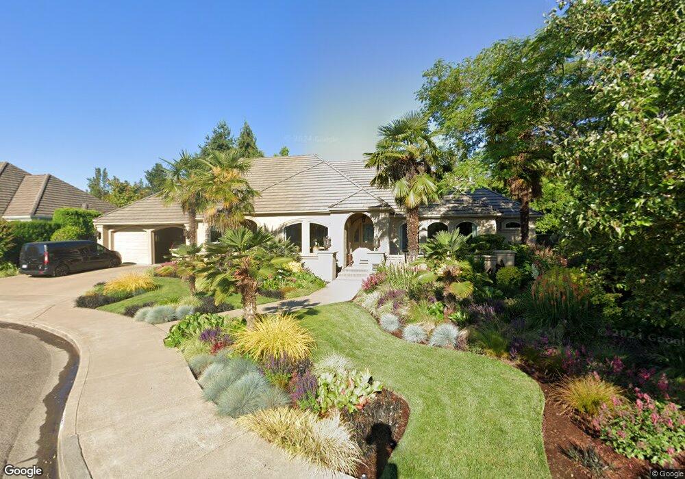
2952 Darrien Eugene, OR 97408
Cal Young NeighborhoodEstimated Value: $851,052 - $1,017,000
3
Beds
3
Baths
3,025
Sq Ft
$314/Sq Ft
Est. Value
About This Home
This home is located at 2952 Darrien, Eugene, OR 97408 and is currently estimated at $948,684, approximately $313 per square foot. 2952 Darrien is a home located in Lane County with nearby schools including Gilham Elementary School, Cal Young Middle School, and Sheldon High School.
Ownership History
Date
Name
Owned For
Owner Type
Purchase Details
Closed on
Jan 11, 2011
Sold by
Brooke Robert L and Hennigan Terri A
Bought by
Locascio Shotola Josephine A and Shotola Charles A
Current Estimated Value
Home Financials for this Owner
Home Financials are based on the most recent Mortgage that was taken out on this home.
Original Mortgage
$300,000
Outstanding Balance
$6,513
Interest Rate
3.77%
Mortgage Type
New Conventional
Estimated Equity
$942,171
Purchase Details
Closed on
Oct 21, 2010
Sold by
Brooke Robert L
Bought by
Brooke Robert L and Hennigan Terri A
Create a Home Valuation Report for This Property
The Home Valuation Report is an in-depth analysis detailing your home's value as well as a comparison with similar homes in the area
Home Values in the Area
Average Home Value in this Area
Purchase History
| Date | Buyer | Sale Price | Title Company |
|---|---|---|---|
| Locascio Shotola Josephine A | $510,000 | Evergreen Land Title Company | |
| Brooke Robert L | -- | None Available |
Source: Public Records
Mortgage History
| Date | Status | Borrower | Loan Amount |
|---|---|---|---|
| Open | Locascio Shotola Josephine A | $300,000 |
Source: Public Records
Tax History
| Year | Tax Paid | Tax Assessment Tax Assessment Total Assessment is a certain percentage of the fair market value that is determined by local assessors to be the total taxable value of land and additions on the property. | Land | Improvement |
|---|---|---|---|---|
| 2025 | $11,751 | $608,293 | -- | -- |
| 2024 | $11,704 | $590,576 | -- | -- |
| 2023 | $11,704 | $573,375 | $0 | $0 |
| 2022 | $10,965 | $556,675 | $0 | $0 |
| 2021 | $9,781 | $540,462 | $0 | $0 |
| 2020 | $9,633 | $524,721 | $0 | $0 |
| 2019 | $9,296 | $509,438 | $0 | $0 |
| 2018 | $8,726 | $480,194 | $0 | $0 |
| 2017 | $8,245 | $480,194 | $0 | $0 |
| 2016 | $7,947 | $466,208 | $0 | $0 |
| 2015 | $7,729 | $452,629 | $0 | $0 |
| 2014 | $7,613 | $439,446 | $0 | $0 |
Source: Public Records
Map
Nearby Homes
- 2325 Park Grove Dr
- 2071 Musket St
- 2053 Lakeview Dr
- 2099 Lake Shore Dr
- 2072 Lakeland Way
- 2332 Devon Ave
- 2063 Lake Wind Dr
- 2427 Mountain Terrace
- 2461 Mountain Terrace
- 3335 Lake Glenn Dr
- 1880 Lake Cove Ave
- 3540 Walton Ln
- 3328 Lakemont Dr
- 2738 Dayna Ln
- 2645 Chuckanut St
- 2707 Dayna Ln
- 2183 Ashbury Dr
- 3620 Walton Ln
- 2225 Avengale Dr
- 3689 Marcella Dr
Your Personal Tour Guide
Ask me questions while you tour the home.