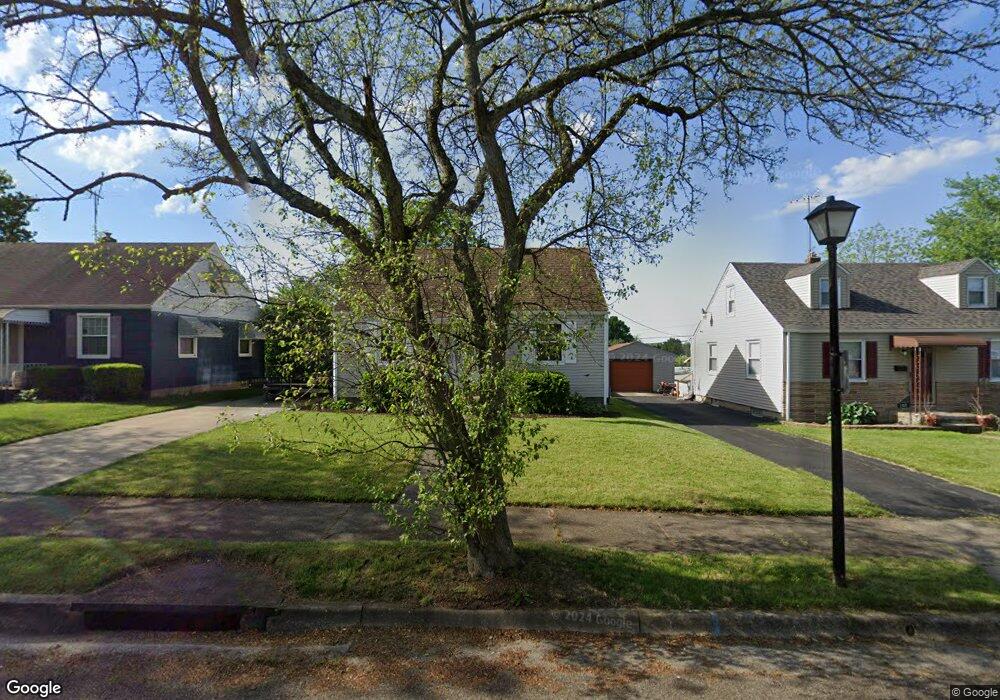
296 E Linwood Ave Akron, OH 44301
Firestone Park NeighborhoodEstimated Value: $127,000 - $150,000
About This Home
This home is located at 296 E Linwood Ave, Akron, OH 44301 and is currently estimated at $139,276, approximately $185 per square foot. 296 E Linwood Ave is a home located in Summit County with nearby schools including Kenmore Garfield Community Learning Center, Main Preparatory Academy, and Eagle Elementary.
Ownership History
We collect this data history from publicly available records. To have your information removed, we recommend requesting removal directly through your county’s website.
Purchase Details
Home Financials for this Owner
Home Financials are based on the most recent Mortgage that was taken out on this home.Home Values in the Area
Average Home Value in this Area
Purchase History
We collect this data history from publicly available records. To have your information removed, we recommend requesting removal directly through your county’s website.
| Date | Buyer | Sale Price | Title Company |
|---|---|---|---|
| $52,000 | Attorney |
Mortgage History
We collect this data history from publicly available records. To have your information removed, we recommend requesting removal directly through your county’s website.
| Date | Status | Borrower | Loan Amount |
|---|---|---|---|
| Open | $41,600 |
Tax History
We collect this data history from publicly available records. To have your information removed, we recommend requesting removal directly through your county’s website.
| Year | Tax Paid | Tax Assessment Tax Assessment Total Assessment is a certain percentage of the fair market value that is determined by local assessors to be the total taxable value of land and additions on the property. | Land | Improvement |
|---|---|---|---|---|
| 2026 | $4,469 | $38,182 | $7,329 | $30,853 |
| 2024 | $2,035 | $38,182 | $7,329 | $30,853 |
| 2023 | $2,035 | $38,182 | $7,329 | $30,853 |
| 2022 | $1,943 | $28,613 | $5,310 | $23,303 |
| 2021 | $1,945 | $28,613 | $5,310 | $23,303 |
| 2020 | $1,916 | $28,610 | $5,310 | $23,300 |
| 2019 | $1,337 | $17,800 | $5,310 | $12,490 |
| 2018 | $1,320 | $17,800 | $5,310 | $12,490 |
| 2017 | $1,340 | $17,800 | $5,310 | $12,490 |
| 2016 | $1,341 | $17,800 | $5,310 | $12,490 |
| 2015 | $1,340 | $17,800 | $5,310 | $12,490 |
| 2014 | $1,330 | $17,800 | $5,310 | $12,490 |
| 2013 | $1,541 | $21,250 | $5,310 | $15,940 |
Map
- 317 E Linwood Ave
- 270 E Ralston Ave
- 295 E Boxwood Ave
- 350 Wayne Ave
- 604 S Firestone Blvd
- 248 E Catawba Ave
- 435 Selden Ave
- 1923 Evergreen Ave Unit 1925
- 126 Clinton Ave
- 1711 Thornapple Ave
- 305 Guys Run Rd
- 1780 Evergreen Ave
- 1701 Brown St
- 1681 Girard St
- 1666 Thornapple Ave
- 1616 Greenlawn Ave
- 457 S Firestone Blvd
- 1699 Sunset Ave
- 1585 Thornapple Ave
- 39 E Catawba Ave
- 300 E Linwood Ave
- 308 E Linwood Ave
- 288 E Linwood Ave
- 303 E Woodsdale Ave
- 295 E Woodsdale Ave
- 291 E Woodsdale Ave
- 284 E Linwood Ave
- 303 E Linwood Ave
- 311 E Woodsdale Ave
- 299 E Linwood Ave
- 307 E Linwood Ave
- 293 E Linwood Ave
- 285 E Woodsdale Ave
- 285 E Woodsdale Ave
- 1832 Glenmount Ave
- 1840 Glenmount Ave
- 311 E Linwood Ave
- 285 E Linwood Ave
- 278 E Linwood Ave
- 1846 Glenmount Ave
Ask me questions while you tour the home.