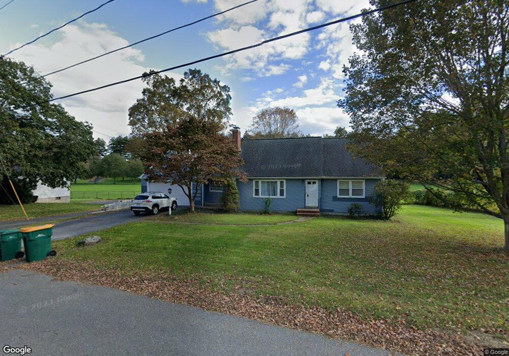
297 Goss Ln Lancaster, MA 01523
Estimated Value: $604,933
Studio
2
Baths
1,790
Sq Ft
$338/Sq Ft
Est. Value
About This Home
This home is located at 297 Goss Ln, Lancaster, MA 01523 and is currently estimated at $604,933, approximately $337 per square foot. 297 Goss Ln is a home located in Worcester County with nearby schools including Mary Rowlandson Elementary School, Luther Burbank Middle School, and Nashoba Regional High School.
Ownership History
Date
Name
Owned For
Owner Type
Purchase Details
Closed on
Nov 1, 1996
Sold by
Millburn Dennis and Millburn Barbara
Bought by
Souther Ne Conf Ass
Current Estimated Value
Purchase Details
Closed on
May 21, 1992
Sold by
So Ne Conf Assoc 7Th
Bought by
Millburn Dennis and Millburn Barbara
Home Financials for this Owner
Home Financials are based on the most recent Mortgage that was taken out on this home.
Original Mortgage
$64,977
Interest Rate
8.77%
Mortgage Type
Purchase Money Mortgage
Create a Home Valuation Report for This Property
The Home Valuation Report is an in-depth analysis detailing your home's value as well as a comparison with similar homes in the area
Home Values in the Area
Average Home Value in this Area
Purchase History
We collect this data history from publicly available records. To have your information removed, we recommend requesting removal directly through your county’s website.
| Date | Buyer | Sale Price | Title Company |
|---|---|---|---|
| Souther Ne Conf Ass | $157,685 | -- | |
| Souther Ne Conf Ass | $157,685 | -- | |
| Millburn Dennis | $129,955 | -- | |
| Millburn Dennis | $129,955 | -- |
Source: Public Records
Mortgage History
We collect this data history from publicly available records. To have your information removed, we recommend requesting removal directly through your county’s website.
| Date | Status | Borrower | Loan Amount |
|---|---|---|---|
| Previous Owner | Millburn Dennis | $64,977 | |
| Closed | Millburn Dennis | $64,977 |
Source: Public Records
Tax History
| Year | Tax Paid | Tax Assessment Tax Assessment Total Assessment is a certain percentage of the fair market value that is determined by local assessors to be the total taxable value of land and additions on the property. | Land | Improvement |
|---|---|---|---|---|
| 2025 | $0 | $459,300 | $119,900 | $339,400 |
| 2024 | $0 | $418,800 | $111,600 | $307,200 |
| 2023 | $0 | $403,200 | $101,500 | $301,700 |
| 2022 | $0 | $325,700 | $104,000 | $221,700 |
| 2021 | $0 | $309,100 | $104,000 | $205,100 |
| 2020 | $5,678 | $311,600 | $104,000 | $207,600 |
| 2019 | $0 | $298,100 | $104,000 | $194,100 |
| 2018 | $5,678 | $284,200 | $104,000 | $180,200 |
| 2016 | $5,280 | $270,100 | $103,100 | $167,000 |
| 2015 | $5,033 | $268,300 | $103,100 | $165,200 |
| 2014 | $4,860 | $257,000 | $103,100 | $153,900 |
Source: Public Records
Map
Nearby Homes
- 13 Mill St
- 289 Sterling Rd
- 29 Bennett Ln
- 132 Kilbourn Rd
- 0 Parker Rd
- 1185 Main St Unit 4
- 30 S Meadow Rd
- 176 Mary Catherine Dr
- 251 High Street Extension
- 59 S Meadow Rd
- 305 High Street Extension
- 861 Main St
- 97 Sterling St
- 11 Eileen Ave
- 508 High St
- 19 Brendan Rd
- 49 Farm Land Ln
- 719 Main St
- 51 Rigby St
- 57 Clark St
Your Personal Tour Guide
Ask me questions while you tour the home.