297 N 1600 W Mapleton, UT 84664
Estimated Value: $721,840 - $750,000
3
Beds
3
Baths
4,091
Sq Ft
$180/Sq Ft
Est. Value
About This Home
This home is located at 297 N 1600 W, Mapleton, UT 84664 and is currently estimated at $735,920, approximately $179 per square foot. 297 N 1600 W is a home located in Utah County with nearby schools including Maple Ridge Elementary, Mapleton Junior High School, and Maple Mountain High School.
Ownership History
Date
Name
Owned For
Owner Type
Purchase Details
Closed on
Sep 26, 2019
Sold by
Ashton Susan H
Bought by
Mjk Rentals Llc
Current Estimated Value
Purchase Details
Closed on
Sep 25, 2019
Sold by
Ashton Susan H and Finkenthal Rebecca Jane
Bought by
Ashton Susan H
Purchase Details
Closed on
Sep 27, 2017
Sold by
Ashton Susan A
Bought by
Ashton Susan H and Finkenthal Rebecca Jane
Purchase Details
Closed on
Oct 8, 2010
Sold by
Holley Helen C
Bought by
Holley Helen C and Holley Wayne D
Create a Home Valuation Report for This Property
The Home Valuation Report is an in-depth analysis detailing your home's value as well as a comparison with similar homes in the area
Home Values in the Area
Average Home Value in this Area
Purchase History
| Date | Buyer | Sale Price | Title Company |
|---|---|---|---|
| Mjk Rentals Llc | -- | Provo Land Title Company | |
| Ashton Susan H | -- | Provo Land Title Company | |
| Ashton Susan H | -- | Provo Land Title Co | |
| Holley Helen C | -- | None Available | |
| Holley Helen | -- | None Available |
Source: Public Records
Tax History
| Year | Tax Paid | Tax Assessment Tax Assessment Total Assessment is a certain percentage of the fair market value that is determined by local assessors to be the total taxable value of land and additions on the property. | Land | Improvement |
|---|---|---|---|---|
| 2025 | $4,241 | $409,925 | -- | -- |
| 2024 | $4,241 | $415,475 | $0 | $0 |
| 2023 | $4,676 | $460,915 | $0 | $0 |
| 2022 | $3,903 | $380,435 | $0 | $0 |
| 2021 | $2,095 | $313,600 | $172,800 | $140,800 |
| 2020 | $2,166 | $313,600 | $172,800 | $140,800 |
| 2019 | $1,976 | $292,000 | $172,800 | $119,200 |
| 2018 | $2,152 | $275,800 | $172,800 | $103,000 |
| 2017 | $1,944 | $145,140 | $0 | $0 |
| 2016 | $1,859 | $137,965 | $0 | $0 |
| 2015 | $2,214 | $163,300 | $0 | $0 |
Source: Public Records
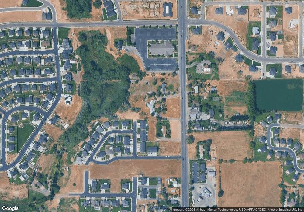
Map
Nearby Homes
- 216 N 1750 W
- 1688 W 200 N
- 203 N 1900 W
- 262 N Santa fe Dr
- 1631 W Century Ln Unit B
- 2652 W Maple St Unit 281
- 581 N Heritage St Unit 5
- 599 N Heritage St Unit 6
- 1512 W 600 N Unit LUCA
- 1272 W 220 N
- 1446 W 600 N Unit HILD
- 641 N Heritage St Unit 8
- 2033 Fortune Ln Unit 462
- 657 N Heritage St Unit 9
- 683 N Heritage St
- 293 N Pheasant Dr
- 281 N Pheasant Dr
- 1222 W 190 N
- 1836 W 800 N
- 2177 Fortune Ln Unit 451
- 295 N 1600 W
- 8 S Starlight Ln
- 12 S Starlight Ln
- 12 S Starlight Ln Unit 433
- 2692 W Maple St Unit 284
- 8 S Starlight Ln Unit 434
- 2664 W Maple St Unit 282
- 2706 W Maple St Unit 285
- 2664 W Maple St
- 2706 W Maple St
- 425 N 1800 W
- 375 N 1600 W
- 278 N 1750 W
- 278 N 1750 W Unit 6
- 1548 N 1800 W
- 266 N 1750 W Unit 5
- 248 N 1750 W Unit 4
- 248 N 1750 W
- 1764 W 250 N
- 385 N 1600 W
Your Personal Tour Guide
Ask me questions while you tour the home.