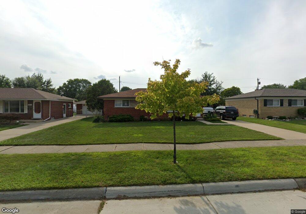
29719 Sutherland Dr Warren, MI 48088
Northeast Warren NeighborhoodEstimated Value: $210,086 - $279,000
About This Home
This home is located at 29719 Sutherland Dr, Warren, MI 48088 and is currently estimated at $244,772, approximately $223 per square foot. 29719 Sutherland Dr is a home located in Macomb County with nearby schools including Warren Woods Tower High School, Warren Woods Christian School, and Warren SDA Junior Academy.
Ownership History
We collect this data history from publicly available records. To have your information removed, we recommend requesting removal directly through your county’s website.
Purchase Details
Purchase Details
Home Values in the Area
Average Home Value in this Area
Purchase History
We collect this data history from publicly available records. To have your information removed, we recommend requesting removal directly through your county’s website.
| Date | Buyer | Sale Price | Title Company |
|---|---|---|---|
| -- | None Available | ||
| -- | Chicago Title Insurance Co |
Tax History
We collect this data history from publicly available records. To have your information removed, we recommend requesting removal directly through your county’s website.
| Year | Tax Paid | Tax Assessment Tax Assessment Total Assessment is a certain percentage of the fair market value that is determined by local assessors to be the total taxable value of land and additions on the property. | Land | Improvement |
|---|---|---|---|---|
| 2025 | $2,937 | $108,430 | $0 | $0 |
| 2024 | $29 | $98,440 | $0 | $0 |
| 2023 | $2,708 | $95,030 | $0 | $0 |
| 2022 | $2,655 | $82,870 | $0 | $0 |
| 2021 | $2,605 | $75,810 | $0 | $0 |
| 2020 | $2,497 | $69,710 | $0 | $0 |
| 2019 | $2,385 | $66,690 | $0 | $0 |
| 2018 | $71 | $61,020 | $0 | $0 |
| 2017 | $2,279 | $55,010 | $10,220 | $44,790 |
| 2016 | $2,262 | $55,010 | $0 | $0 |
| 2015 | -- | $50,150 | $0 | $0 |
| 2013 | $2,206 | $42,750 | $0 | $0 |
Map
- 29639 Malvina Dr
- 13811 Brockington Dr Unit Ste 5
- 14033 Edison Dr
- 14011 Ken Ct
- 29417 Scarborough Dr Unit 28
- 14120 Edison Dr
- 29903 Blossom Ln
- 13646 Edwin Ct
- 13412 Common Rd
- 29531 Eiffel Ave
- 29230 Moulin Ave
- 14066 Castle Ave
- 13216 Cromie Dr
- 30416 Eiffel Ave
- 13844 La Chene Ave
- 28829 Flanders Ave
- 30507 Moulin Ave
- 30310 Valenti Dr
- 14081 La Chene Ave
- 29108 Dover Ave
- 29707 Sutherland Dr
- 29665 Sutherland Dr
- 29706 Bradner Dr
- 29718 Bradner Dr
- 29664 Bradner Dr
- 29731 Sutherland Dr
- 29653 Sutherland Dr
- 29730 Bradner Dr
- 29652 Bradner Dr
- 29708 Sutherland Dr
- 29666 Sutherland Dr
- 29743 Sutherland Dr
- 29641 Sutherland Dr
- 29720 Sutherland Dr
- 29654 Sutherland Dr
- 29742 Bradner Dr
- 29640 Bradner Dr
- 29732 Sutherland Dr
- 29809 Sutherland Dr
- 29642 Sutherland Dr
Ask me questions while you tour the home.