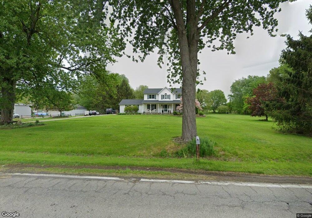
2975 Burns Rd Madison, OH 44057
Estimated Value: $376,000 - $439,000
3
Beds
3
Baths
2,232
Sq Ft
$185/Sq Ft
Est. Value
About This Home
This home is located at 2975 Burns Rd, Madison, OH 44057 and is currently estimated at $413,043, approximately $185 per square foot. 2975 Burns Rd is a home located in Lake County with nearby schools including South Elementary School, Madison Middle School, and Madison High School.
Ownership History
Date
Name
Owned For
Owner Type
Purchase Details
Closed on
Oct 26, 2009
Sold by
Woodworth Tari B and The Tari B Woodworth Trust
Bought by
Collins Mathew W and Collins Diana M
Current Estimated Value
Home Financials for this Owner
Home Financials are based on the most recent Mortgage that was taken out on this home.
Original Mortgage
$198,412
Interest Rate
5.1%
Mortgage Type
FHA
Purchase Details
Closed on
Jun 4, 2001
Sold by
Woodworth Tari B
Bought by
Woodworth Tari B and The Tari B Woodworth Trust
Purchase Details
Closed on
May 10, 1989
Bought by
Woodworth Roy E
Create a Home Valuation Report for This Property
The Home Valuation Report is an in-depth analysis detailing your home's value as well as a comparison with similar homes in the area
Home Values in the Area
Average Home Value in this Area
Purchase History
| Date | Buyer | Sale Price | Title Company |
|---|---|---|---|
| Collins Mathew W | $225,000 | Ohio Real Title | |
| Woodworth Tari B | -- | -- | |
| Woodworth Roy E | $18,000 | -- |
Source: Public Records
Mortgage History
| Date | Status | Borrower | Loan Amount |
|---|---|---|---|
| Previous Owner | Collins Mathew W | $198,412 |
Source: Public Records
Tax History
| Year | Tax Paid | Tax Assessment Tax Assessment Total Assessment is a certain percentage of the fair market value that is determined by local assessors to be the total taxable value of land and additions on the property. | Land | Improvement |
|---|---|---|---|---|
| 2025 | -- | $132,760 | $27,290 | $105,470 |
| 2024 | -- | $132,760 | $27,290 | $105,470 |
| 2023 | $10,567 | $95,070 | $21,980 | $73,090 |
| 2022 | $5,818 | $95,070 | $21,980 | $73,090 |
| 2021 | $5,829 | $95,070 | $21,980 | $73,090 |
| 2020 | $5,693 | $81,960 | $18,950 | $63,010 |
| 2019 | $5,697 | $81,960 | $18,950 | $63,010 |
| 2018 | $5,406 | $76,660 | $20,270 | $56,390 |
| 2017 | $5,305 | $76,660 | $20,270 | $56,390 |
| 2016 | $5,228 | $76,660 | $20,270 | $56,390 |
| 2015 | $4,605 | $76,660 | $20,270 | $56,390 |
| 2014 | $4,710 | $76,660 | $20,270 | $56,390 |
| 2013 | $4,720 | $76,660 | $20,270 | $56,390 |
Source: Public Records
Map
Nearby Homes
- 0 N Ridge (Us Rt 20) Rd Unit 4151016
- 2665 Eagle Point Dr
- 2665 Stoneyridge Dr
- 2663 Lake Breeze Dr
- 2655 Stoneyridge Dr
- 2661 Lake Breeze Dr
- 2659 Lake Breeze Dr
- 2833 Hubbard Rd
- 943 N Lake St
- 206 Lavender Ln Unit 30
- 5500 N Ridge Rd
- 2376 Bay Meadow St
- 2192 Chimney Ridge Dr
- 2765 Mcmackin Rd
- 11 Hawaiian Dr
- 17 Hawaiian Dr
- 249 W Main St
- 6073 Chapel Rd
- 0 V L Appaloosa Trail
- VL Courtyard Dr
- 2933 Burns Rd
- 3009 Burns Rd
- 2944 Burns Rd
- 2907 Burns Rd
- 3027 Burns Rd
- 2948 Burns Rd
- 2926 Burns Rd
- 2914 Burns Rd
- 2885 Burns Rd
- 2940 Burns Rd
- 2892 Burns Rd
- 2874 Burns Rd
- 3057 Burns Rd
- 3077 Burns Rd
- 2860 Burns Rd
- 0 Burns Rd Unit 4446478
- 2861 Burns Rd
- 6113 Pineview Dr Unit 6113
- 6117 Pineview Dr Unit 6117
- 6111 Pineview Dr
Your Personal Tour Guide
Ask me questions while you tour the home.