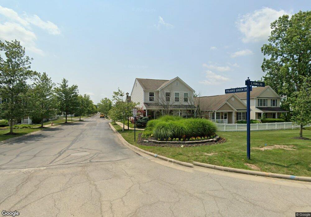
2978 E Powell Rd Columbus, OH 43240
Polaris North NeighborhoodEstimated Value: $341,000 - $397,000
3
Beds
3
Baths
1,888
Sq Ft
$200/Sq Ft
Est. Value
About This Home
This home is located at 2978 E Powell Rd, Columbus, OH 43240 and is currently estimated at $378,357, approximately $200 per square foot. 2978 E Powell Rd is a home with nearby schools including Freedom Trail Elementary School, Olentangy Orange Middle School, and Orange High School.
Ownership History
Date
Name
Owned For
Owner Type
Purchase Details
Closed on
Nov 21, 2011
Sold by
Dominion Homes Inc
Bought by
Makary John S
Current Estimated Value
Home Financials for this Owner
Home Financials are based on the most recent Mortgage that was taken out on this home.
Original Mortgage
$125,300
Outstanding Balance
$85,690
Interest Rate
4.08%
Mortgage Type
New Conventional
Estimated Equity
$292,667
Create a Home Valuation Report for This Property
The Home Valuation Report is an in-depth analysis detailing your home's value as well as a comparison with similar homes in the area
Home Values in the Area
Average Home Value in this Area
Purchase History
| Date | Buyer | Sale Price | Title Company |
|---|---|---|---|
| Makary John S | $156,800 | Alliance Title |
Source: Public Records
Mortgage History
| Date | Status | Borrower | Loan Amount |
|---|---|---|---|
| Open | Makary John S | $125,300 |
Source: Public Records
Tax History
| Year | Tax Paid | Tax Assessment Tax Assessment Total Assessment is a certain percentage of the fair market value that is determined by local assessors to be the total taxable value of land and additions on the property. | Land | Improvement |
|---|---|---|---|---|
| 2024 | $5,679 | $104,270 | $16,980 | $87,290 |
| 2023 | $5,700 | $104,270 | $16,980 | $87,290 |
| 2022 | $5,144 | $76,620 | $14,110 | $62,510 |
| 2021 | $4,271 | $76,620 | $14,110 | $62,510 |
| 2020 | $5,201 | $76,620 | $14,110 | $62,510 |
| 2019 | $4,068 | $62,270 | $12,250 | $50,020 |
| 2018 | $4,087 | $62,270 | $12,250 | $50,020 |
| 2017 | $3,692 | $52,330 | $12,250 | $40,080 |
| 2016 | $3,657 | $52,330 | $12,250 | $40,080 |
| 2015 | $3,341 | $52,330 | $12,250 | $40,080 |
| 2014 | $3,389 | $52,330 | $12,250 | $40,080 |
| 2013 | $3,466 | $52,330 | $12,250 | $40,080 |
Source: Public Records
Map
Nearby Homes
- 9339 Prestwick Green Dr
- 9190 Prestwick Green Dr
- 2715 Tucker Trail
- 9136 Scenic View Cir
- 1426 Carylake Cir Unit 1426
- 2589 Aikin Cir S
- 2849 Pleasantdale Dr
- 9194 Gramford St Unit 9194
- 3780 Pine Ridge Dr
- 3637 Birkland Cir
- 3670 E Powell Rd
- 3773 Kelsey Ct
- 3732 Evelynton Ave
- 7631 Pleasant Colony Ct
- 3749 Birkland Cir
- 1746 E Powell Rd
- 9246 Windy Creek Dr
- 1129 Pebble Brook Dr
- 1047 Stone Ring Ct
- 7485 Bold Venture Ct
- 2974 E Powell Rd
- 2970 E Powell Rd
- 2986 E Powell Rd Unit 51
- 2960 E Powell Rd
- 9331 Polaris Green Dr
- 2990 E Powell Rd
- 2990 E Powell Rd Unit 52
- 2994 E Powell Rd
- 2994 E Powell Rd Unit 53
- 9327 Polaris Green Dr
- 9340 Prestwick Green Dr
- 9346 Prestwick Green Dr
- 9328 Polaris Green Dr
- 9328 Polaris Green Dr Unit 50
- 9334 Prestwick Green Dr
- 2998 E Powell Rd
- 9323 Polaris Green Dr
- 9323 Polaris Green Dr Unit 7
- 9324 Polaris Green Dr
- 9324 Polaris Green Dr Unit 49
Your Personal Tour Guide
Ask me questions while you tour the home.