298 Kays Point Rd Lake Ozark, MO 65049
Estimated Value: $346,000 - $516,000
3
Beds
2
Baths
1,650
Sq Ft
$250/Sq Ft
Est. Value
About This Home
This home is located at 298 Kays Point Rd, Lake Ozark, MO 65049 and is currently estimated at $412,724, approximately $250 per square foot. 298 Kays Point Rd is a home located in Camden County with nearby schools including Heritage Elementary School, Osage Upper Elementary School, and Osage Middle School.
Ownership History
Date
Name
Owned For
Owner Type
Purchase Details
Closed on
Sep 7, 2021
Sold by
Misenhelter Terry R
Bought by
N & M Properties Llc
Current Estimated Value
Home Financials for this Owner
Home Financials are based on the most recent Mortgage that was taken out on this home.
Original Mortgage
$288,000
Outstanding Balance
$258,071
Interest Rate
2.12%
Mortgage Type
Construction
Estimated Equity
$154,653
Purchase Details
Closed on
May 21, 2010
Bought by
Misenhelter Terry R Debra L
Create a Home Valuation Report for This Property
The Home Valuation Report is an in-depth analysis detailing your home's value as well as a comparison with similar homes in the area
Home Values in the Area
Average Home Value in this Area
Purchase History
| Date | Buyer | Sale Price | Title Company |
|---|---|---|---|
| N & M Properties Llc | $360,000 | St Joseph Title Corp | |
| Misenhelter Terry R Debra L | -- | -- |
Source: Public Records
Mortgage History
| Date | Status | Borrower | Loan Amount |
|---|---|---|---|
| Open | N & M Properties Llc | $288,000 |
Source: Public Records
Tax History
| Year | Tax Paid | Tax Assessment Tax Assessment Total Assessment is a certain percentage of the fair market value that is determined by local assessors to be the total taxable value of land and additions on the property. | Land | Improvement |
|---|---|---|---|---|
| 2025 | $1,937 | $36,610 | $0 | $0 |
| 2023 | $1,956 | $36,610 | $0 | $0 |
| 2022 | $1,956 | $36,610 | $0 | $0 |
| 2021 | $1,633 | $30,560 | $0 | $0 |
| 2020 | $1,644 | $30,560 | $0 | $0 |
| 2019 | $1,639 | $30,560 | $0 | $0 |
| 2018 | $1,646 | $30,560 | $0 | $0 |
| 2017 | $1,493 | $30,560 | $0 | $0 |
| 2016 | $1,464 | $30,560 | $0 | $0 |
| 2015 | $1,427 | $30,560 | $0 | $0 |
| 2014 | $1,396 | $30,560 | $0 | $0 |
| 2013 | -- | $30,560 | $0 | $0 |
Source: Public Records
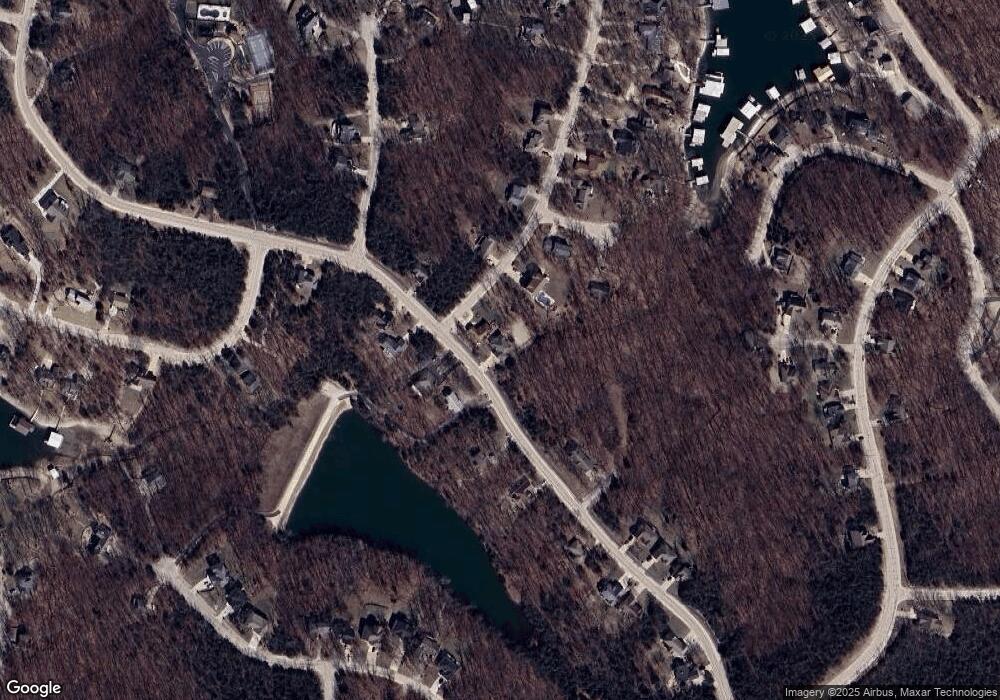
Map
Nearby Homes
- Lot 109 Kays Point
- Lot 111 Kays Point Rd
- 126 Kays Point Rd
- 113 Kays Point Rd
- Lot 453 Linn Creek Rd
- Lot 34 Kays Point
- Lot 32 Linn Creek Rd
- Lot 31 Linn Creek Rd
- 1253 Cornett Dr
- Lot 29 Cornett Dr
- 189 Cornett Dr
- Robert Ln
- Lot 479 Parker Point
- Lot 975 Bobcat Ln
- Lot 489 Parker Pt Rd
- Lot 979 Bobcat
- TBD Cornett Branch Rd
- 1010 Linn Creek Rd
- 147 Blackfoot Rd
- Lot 652 Clover Point
- 298 Kay's Point Rd
- 22 Timber Ridge Ln
- 346 E Kay`s Point Rd
- 22 Timber Ridge Ln
- 332 Dogwood Ct
- 339 E Kay`s Point Rd
- 308 Dogwood Ct
- 45 Dogwood Dr
- 303 Kays Point Rd
- 315 Timber Ridge Ln
- 321 Kays Point Rd
- 321 Kays Point Rd
- 16 Timber Ridge Ct
- 40 Timber Ridge Ct
- 55 Timber Ridge Ln
- 0 Lot 1 Kays Pt #1 Rd Unit 3547671
- 358 Kays Point Rd
- 27 Cove Ct
- 349 Kays Point Rd
- 349 Kays Point Rd
Your Personal Tour Guide
Ask me questions while you tour the home.