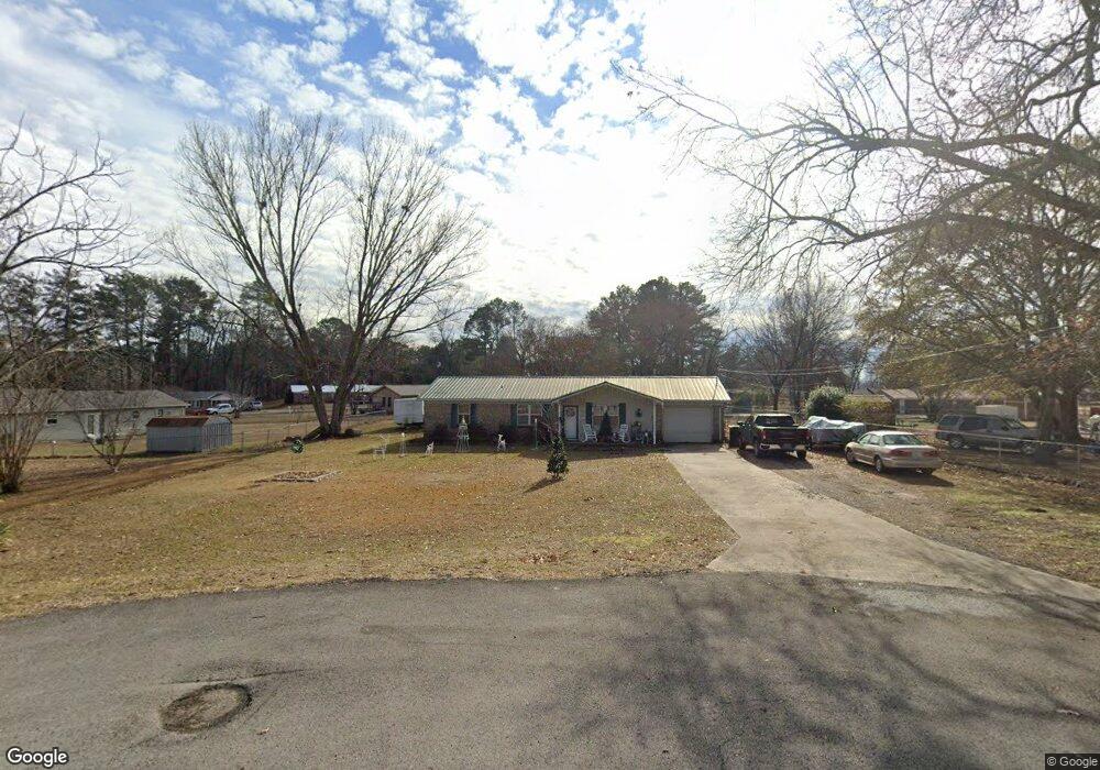
298 Snow Dr Scottsboro, AL 35769
Estimated Value: $120,000 - $189,804
2
Beds
2
Baths
1,150
Sq Ft
$138/Sq Ft
Est. Value
About This Home
This home is located at 298 Snow Dr, Scottsboro, AL 35769 and is currently estimated at $158,701, approximately $138 per square foot. 298 Snow Dr is a home located in Jackson County with nearby schools including Scottsboro High School and Scottsboro Christian Academy.
Ownership History
Date
Name
Owned For
Owner Type
Purchase Details
Closed on
Jun 29, 2010
Sold by
Taylor Bean & Whitaker Mortgage Corp
Bought by
Little Pamela R
Current Estimated Value
Home Financials for this Owner
Home Financials are based on the most recent Mortgage that was taken out on this home.
Original Mortgage
$47,000
Outstanding Balance
$30,976
Interest Rate
4.79%
Estimated Equity
$127,725
Purchase Details
Closed on
Mar 1, 2007
Sold by
Woodall Jackie and Baugh Jackie Woodall
Bought by
Brunet Allen A and Brunet April
Home Financials for this Owner
Home Financials are based on the most recent Mortgage that was taken out on this home.
Original Mortgage
$90,816
Interest Rate
6.3%
Create a Home Valuation Report for This Property
The Home Valuation Report is an in-depth analysis detailing your home's value as well as a comparison with similar homes in the area
Purchase History
| Date | Buyer | Sale Price | Title Company |
|---|---|---|---|
| Little Pamela R | $36,000 | -- | |
| Brunet Allen A | -- | -- |
Source: Public Records
Mortgage History
| Date | Status | Borrower | Loan Amount |
|---|---|---|---|
| Open | Little Pamela R | $47,000 | |
| Previous Owner | Brunet Allen A | $90,816 |
Source: Public Records
Tax History
| Year | Tax Paid | Tax Assessment Tax Assessment Total Assessment is a certain percentage of the fair market value that is determined by local assessors to be the total taxable value of land and additions on the property. | Land | Improvement |
|---|---|---|---|---|
| 2025 | $430 | $9,880 | $0 | $0 |
| 2024 | $430 | $9,240 | $0 | $0 |
| 2023 | $399 | $9,460 | $0 | $0 |
| 2022 | $410 | $9,460 | $0 | $0 |
| 2021 | $410 | $9,460 | $0 | $0 |
| 2020 | $380 | $8,840 | $0 | $0 |
| 2019 | $345 | $8,120 | $0 | $0 |
| 2018 | $345 | $8,120 | $0 | $0 |
| 2017 | $345 | $81,200 | $0 | $0 |
| 2016 | $324 | $77,000 | $0 | $0 |
| 2015 | $324 | $77,000 | $0 | $0 |
| 2014 | $324 | $77,000 | $0 | $0 |
| 2013 | -- | $77,000 | $0 | $0 |
Source: Public Records
Map
Nearby Homes
- 118 Canadian Dr
- #80 Snow Dr
- 20 Press Rd
- 22 Press Rd
- 14 Ski Cove Dr
- 50 Pruett Cir
- 17 Goose Pond Island Dr
- 222 Lakewood Dr
- 655 Goose Pond Island Dr
- 273 Goosepond Dr
- 1204 Peninsula Dr
- 131 Anderson St E
- 1.12 acres Savory Dr
- 1.0 Acre Lake Pointe Cir
- 2310 Bob Jones Rd
- 160 Santa Maria Dr
- 3 Acres S Broad St
- 2567 Lookout Mountain Dr
- 104 Wimberly Dr
- 4324 S Broad St
- 131 Canadian Dr
- 89 Canadian Dr
- 124 Chesapeake Dr
- 292 Snow Dr
- 53 Canadian Dr
- 285 Snow Dr
- 149 Canadian Dr
- 140 Chesapeake Dr
- 162 Chesapeake Dr
- 270 Snow Dr
- 25 Canadian Dr
- 265 Snow Dr
- 175 Canadian Dr
- 138 Canadian Dr
- 100 Canadian Dr
- 68 Canadian Dr
- 184 Chesapeake Dr
- 156 Canadian Dr
- 56 Canadian Dr
- 129 Chesapeake Dr
Your Personal Tour Guide
Ask me questions while you tour the home.