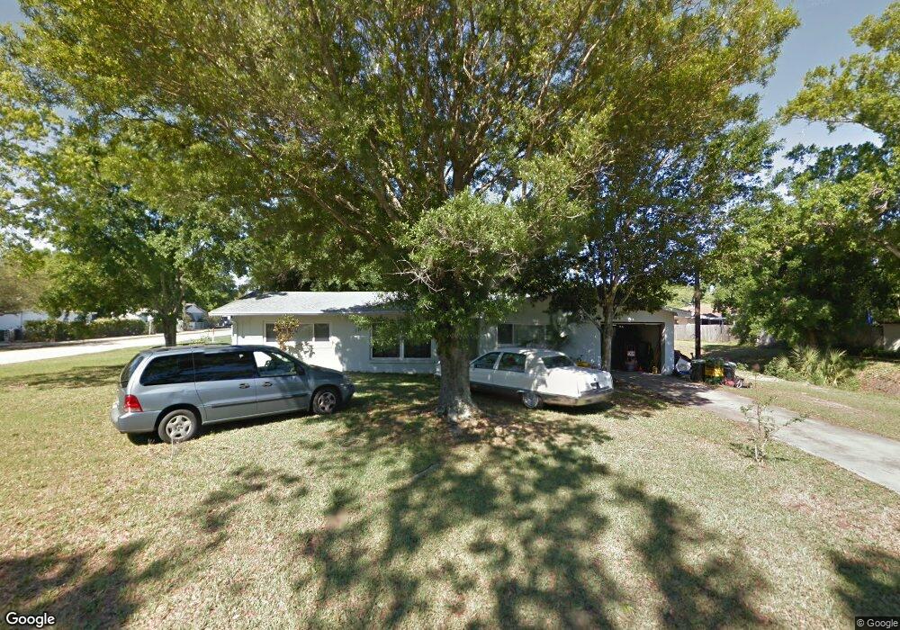
299 Edward Rd Melbourne, FL 32904
Estimated Value: $232,000 - $260,000
2
Beds
2
Baths
1,231
Sq Ft
$198/Sq Ft
Est. Value
About This Home
This home is located at 299 Edward Rd, Melbourne, FL 32904 and is currently estimated at $243,364, approximately $197 per square foot. 299 Edward Rd is a home located in Brevard County with nearby schools including Meadowlane Primary Elementary School, Meadowlane Intermediate Elementary School, and Central Middle School.
Ownership History
Date
Name
Owned For
Owner Type
Purchase Details
Closed on
Nov 10, 2000
Sold by
White Dianne A and White Lovit L
Bought by
White Lovit L
Current Estimated Value
Purchase Details
Closed on
Aug 9, 1994
Sold by
Ledbetter Luther V
Bought by
White Lovit L and White Dianne A
Home Financials for this Owner
Home Financials are based on the most recent Mortgage that was taken out on this home.
Original Mortgage
$47,000
Interest Rate
8.53%
Create a Home Valuation Report for This Property
The Home Valuation Report is an in-depth analysis detailing your home's value as well as a comparison with similar homes in the area
Home Values in the Area
Average Home Value in this Area
Purchase History
| Date | Buyer | Sale Price | Title Company |
|---|---|---|---|
| White Lovit L | -- | -- | |
| White Lovit L | $57,000 | -- | |
| White Lovit L | $57,000 | -- |
Source: Public Records
Mortgage History
| Date | Status | Borrower | Loan Amount |
|---|---|---|---|
| Previous Owner | White Lovit L | $47,000 |
Source: Public Records
Tax History
| Year | Tax Paid | Tax Assessment Tax Assessment Total Assessment is a certain percentage of the fair market value that is determined by local assessors to be the total taxable value of land and additions on the property. | Land | Improvement |
|---|---|---|---|---|
| 2025 | $714 | $60,370 | -- | -- |
| 2024 | $700 | $58,670 | -- | -- |
| 2023 | $700 | $56,970 | $0 | $0 |
| 2022 | $663 | $55,320 | $0 | $0 |
| 2021 | $678 | $53,710 | $0 | $0 |
| 2020 | $639 | $52,970 | $0 | $0 |
| 2019 | $642 | $51,780 | $0 | $0 |
| 2018 | $643 | $50,820 | $0 | $0 |
| 2017 | $621 | $49,780 | $0 | $0 |
| 2016 | $621 | $48,760 | $20,000 | $28,760 |
| 2015 | $630 | $48,430 | $15,000 | $33,430 |
| 2014 | $628 | $48,050 | $20,000 | $28,050 |
Source: Public Records
Map
Nearby Homes
- 518 Sylvia Rd
- 5120 Martin Ln
- 5240 Sutton Ave
- 522 Jean Cir
- 2343 Woodfield Cir
- 566 Marnie Cir
- 620 Brockton Way
- 4500 Gail Blvd
- 4404 Gail Blvd
- 533 Ruth Cir
- 693 John Hancock Ln
- 562 Ruth Cir
- 215 Mcclain Dr
- 220 Stephenson Dr
- 518 Kimberly Cir
- 958 Danville Cir
- 969 Danville Cir Unit 129
- 190 Stephenson Dr
- 525 Kimberly Cir
- 713 Del Mar Cir
Your Personal Tour Guide
Ask me questions while you tour the home.