2R Cross Ct Webster, MA 01570
Estimated Value: $1,006,000 - $1,320,000
3
Beds
3
Baths
3,300
Sq Ft
$345/Sq Ft
Est. Value
About This Home
This home is located at 2R Cross Ct, Webster, MA 01570 and is currently estimated at $1,137,144, approximately $344 per square foot. 2R Cross Ct is a home located in Worcester County with nearby schools including Park Avenue Elementary School, Webster Middle School, and Bartlett High School.
Ownership History
Date
Name
Owned For
Owner Type
Purchase Details
Closed on
Sep 30, 2010
Sold by
Beaulac Marc R
Bought by
Prism Rt
Current Estimated Value
Home Financials for this Owner
Home Financials are based on the most recent Mortgage that was taken out on this home.
Original Mortgage
$225,000
Outstanding Balance
$148,575
Interest Rate
4.44%
Mortgage Type
Purchase Money Mortgage
Estimated Equity
$988,569
Purchase Details
Closed on
Nov 10, 2008
Sold by
Beaulac Marc R and Mier Stephen P
Bought by
Beaulac Marc R
Create a Home Valuation Report for This Property
The Home Valuation Report is an in-depth analysis detailing your home's value as well as a comparison with similar homes in the area
Home Values in the Area
Average Home Value in this Area
Purchase History
We collect this data history from publicly available records. To have your information removed, we recommend requesting removal directly through your county’s website.
| Date | Buyer | Sale Price | Title Company |
|---|---|---|---|
| Prism Rt | $605,000 | -- | |
| Beaulac Marc R | -- | -- |
Source: Public Records
Mortgage History
We collect this data history from publicly available records. To have your information removed, we recommend requesting removal directly through your county’s website.
| Date | Status | Borrower | Loan Amount |
|---|---|---|---|
| Open | Prism Rt | $225,000 |
Source: Public Records
Tax History
| Year | Tax Paid | Tax Assessment Tax Assessment Total Assessment is a certain percentage of the fair market value that is determined by local assessors to be the total taxable value of land and additions on the property. | Land | Improvement |
|---|---|---|---|---|
| 2025 | $11,019 | $927,500 | $438,600 | $488,900 |
| 2024 | $10,377 | $852,000 | $381,700 | $470,300 |
| 2023 | $10,016 | $801,300 | $363,400 | $437,900 |
| 2022 | $9,916 | $710,300 | $323,200 | $387,100 |
| 2021 | $10,153 | $672,400 | $323,200 | $349,200 |
| 2020 | $10,164 | $674,900 | $323,200 | $351,700 |
| 2019 | $9,968 | $650,200 | $323,200 | $327,000 |
| 2018 | $15,576 | $642,400 | $323,200 | $319,200 |
| 2017 | $9,152 | $604,900 | $327,400 | $277,500 |
| 2016 | $8,192 | $541,100 | $281,900 | $259,200 |
| 2015 | $7,832 | $533,500 | $276,400 | $257,100 |
Source: Public Records
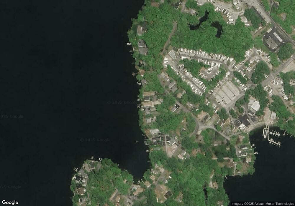
Map
Nearby Homes
- 177 Gore Rd
- 3-5 Rawson Rd
- 3 Upper Gore Rd
- 20 Indian Point Rd
- 12 Cedar Dr
- 22 Union Point Rd
- 204 Treasure Island Rd
- 149 Lake St
- 0 Thompson Rd
- 7 Nipmuck Dr
- 45 Point Pleasant Rd
- 34 Eastern Ave Unit M
- 13 S Point Rd
- 40 Scenic Ave
- 44 Lake Pkwy
- 9 Hall St
- 00 Juniper Ln
- 33 Slater St
- 30 Linwood St
- 12 Whitcomb St
- 4 Cross Ct
- 78 Killdeer Rd
- 76 Killdeer Island Rd
- 76 Killdeer Rd
- 6 Cross Ct
- 8 Cross Ct
- 10 Cross Ct
- 86 Killdeer Island Rd
- 86 Killdeer Rd
- 74 Killdeer Island Rd
- 88 Killdeer Island Rd
- 79 Killdeer Island Rd
- 77 Killdeer Island Rd
- 12 Cross Ct
- 81 Killdeer Island Rd
- 75 Killdeer Island Rd
- 70 Killdeer Island Rd
- 16 Cross Ct
- 87 Killdeer Rd
- 87 Killdeer Island Rd
Your Personal Tour Guide
Ask me questions while you tour the home.