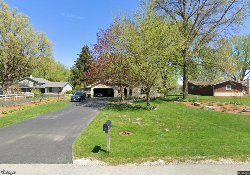
2S269 Riverside Ave Warrenville, IL 60555
Estimated Value: $422,255 - $479,000
About This Home
This home is located at 2S269 Riverside Ave, Warrenville, IL 60555 and is currently estimated at $451,564, approximately $261 per square foot. 2S269 Riverside Ave is a home located in DuPage County with nearby schools including Clifford Johnson School, Hubble Middle School, and Wheaton Warrenville South High School.
Ownership History
We collect this data history from publicly available records. To have your information removed, we recommend requesting removal directly through your county’s website.
Purchase Details
Home Financials for this Owner
Home Financials are based on the most recent Mortgage that was taken out on this home.Home Values in the Area
Average Home Value in this Area
Purchase History
We collect this data history from publicly available records. To have your information removed, we recommend requesting removal directly through your county’s website.
| Date | Buyer | Sale Price | Title Company |
|---|---|---|---|
| $175,000 | -- |
Mortgage History
We collect this data history from publicly available records. To have your information removed, we recommend requesting removal directly through your county’s website.
| Date | Status | Borrower | Loan Amount |
|---|---|---|---|
| Closed | $125,000 |
Tax History
We collect this data history from publicly available records. To have your information removed, we recommend requesting removal directly through your county’s website.
| Year | Tax Paid | Tax Assessment Tax Assessment Total Assessment is a certain percentage of the fair market value that is determined by local assessors to be the total taxable value of land and additions on the property. | Land | Improvement |
|---|---|---|---|---|
| 2024 | $9,021 | $139,195 | $47,333 | $91,862 |
| 2023 | $9,099 | $127,130 | $43,230 | $83,900 |
| 2022 | $8,687 | $118,820 | $40,400 | $78,420 |
| 2021 | $8,249 | $113,900 | $38,730 | $75,170 |
| 2020 | $8,041 | $110,440 | $37,550 | $72,890 |
| 2019 | $7,678 | $105,170 | $35,760 | $69,410 |
| 2018 | $7,151 | $98,290 | $33,420 | $64,870 |
| 2017 | $6,958 | $93,400 | $31,760 | $61,640 |
| 2016 | $6,693 | $87,080 | $29,610 | $57,470 |
| 2015 | $6,447 | $80,610 | $27,410 | $53,200 |
| 2014 | $6,173 | $76,050 | $25,860 | $50,190 |
| 2013 | $6,210 | $78,840 | $26,810 | $52,030 |
Map
- 30W061 Arbury Ct
- 2S445 Sanchez Dr
- 30W124 Wood Ct
- 30W161 Mack Rd
- 2S460 Cynthia Dr
- 30W021 Danbury Dr Unit 2A
- 30W056 Buckthorn Ct
- 2S616 Linden Square
- 2S631 Angeline Ct
- 2S590 Seraph Holmes Ct
- 3S082 Timber Dr Unit 7B
- 2S638 Enrico Fermi Ct Unit C
- Lot 1 Elizabeth St
- 30W032 Laurel Ct
- 30W002 Willow Ln
- 2S750 Grove Ln Unit 23-C
- 30W015 Juniper Ct
- 29W101 Morris Ct
- 29W007 Oak Ln
- 29W440 Candlewood Ln
- 2S281 Riverside Ave
- 2S255 Riverside Ave
- 2S309 Riverside Ave
- 2S309 Riverside Ave
- 2S241 Riverside Ave
- 2S280 Riverside Ave
- 2S268 Riverside Ave
- 2S250 Riverside Ave
- 2S323 Riverside Ave
- 2S254 Illinois Rte 59
- 2S231 Riverside Ave
- 2S310 Riverside Ave
- 2S240 Riverside Ave
- 2S254 State Route 59
- 2S280 State Route 59
- 2S322 Riverside Ave
- 2S217 Riverside Ave
- 29W740 Waverly Ave
- 2S216 Riverside Ave
- 2S310 State Route 59
Ask me questions while you tour the home.