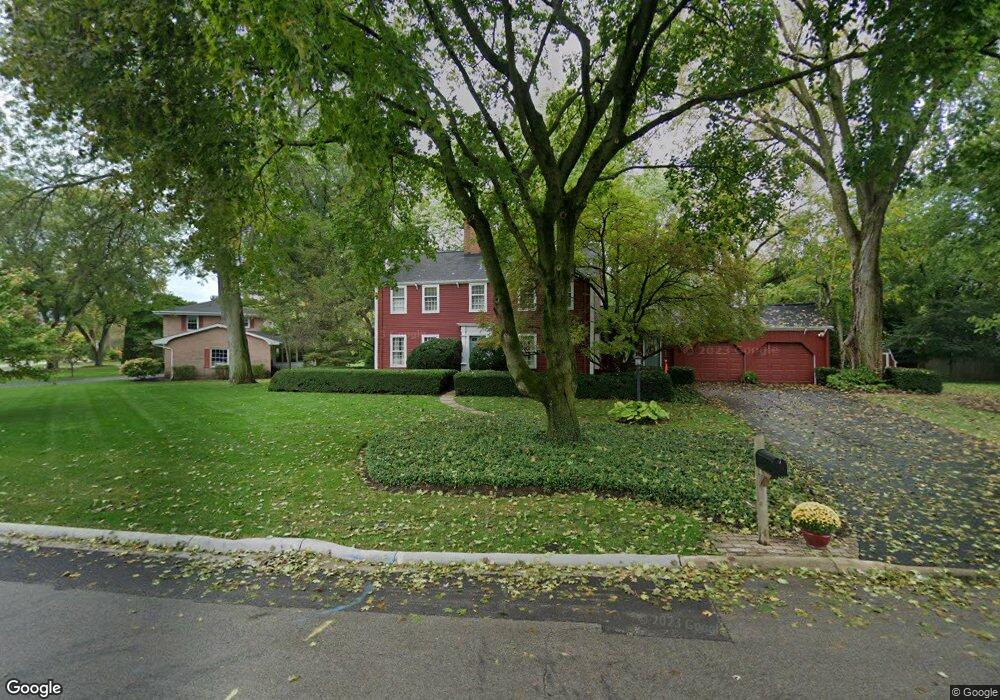
2S436 Arrowhead Dr Wheaton, IL 60189
Arrowhead NeighborhoodEstimated Value: $608,734 - $835,000
Studio
1
Bath
2,470
Sq Ft
$290/Sq Ft
Est. Value
About This Home
This home is located at 2S436 Arrowhead Dr, Wheaton, IL 60189 and is currently estimated at $717,184, approximately $290 per square foot. 2S436 Arrowhead Dr is a home located in DuPage County with nearby schools including Wiesbrook Elementary School, Hubble Middle School, and Wheaton Warrenville South High School.
Ownership History
Date
Name
Owned For
Owner Type
Purchase Details
Closed on
Jun 14, 2010
Sold by
Wells Helene S
Bought by
Wells Helene S and Helene S Wells Declaration Of Trust
Current Estimated Value
Purchase Details
Closed on
Nov 7, 2008
Sold by
Wells Helene S and The Helene S Wells Declaration
Bought by
Wells Arthur F and Wells Helene S
Create a Home Valuation Report for This Property
The Home Valuation Report is an in-depth analysis detailing your home's value as well as a comparison with similar homes in the area
Home Values in the Area
Average Home Value in this Area
Purchase History
| Date | Buyer | Sale Price | Title Company |
|---|---|---|---|
| Wells Helene S | -- | None Available | |
| Wells Arthur F | -- | None Available |
Source: Public Records
Tax History
| Year | Tax Paid | Tax Assessment Tax Assessment Total Assessment is a certain percentage of the fair market value that is determined by local assessors to be the total taxable value of land and additions on the property. | Land | Improvement |
|---|---|---|---|---|
| 2024 | $10,002 | $187,339 | $40,816 | $146,523 |
| 2023 | $9,536 | $172,440 | $37,570 | $134,870 |
| 2022 | $9,409 | $162,960 | $35,500 | $127,460 |
| 2021 | $9,107 | $159,100 | $34,660 | $124,440 |
| 2020 | $9,022 | $157,620 | $34,340 | $123,280 |
| 2019 | $8,782 | $153,460 | $33,430 | $120,030 |
| 2018 | $8,805 | $154,660 | $31,500 | $123,160 |
| 2017 | $8,647 | $148,960 | $30,340 | $118,620 |
| 2016 | $8,523 | $143,010 | $29,130 | $113,880 |
| 2015 | $8,445 | $136,430 | $27,790 | $108,640 |
| 2014 | $8,296 | $131,840 | $27,600 | $104,240 |
| 2013 | $8,049 | $132,230 | $27,680 | $104,550 |
Source: Public Records
Map
Nearby Homes
- 26W055 Cree Ln
- 1378 Colonial Square
- 2105 Timber Ln
- 1605 Burning Trail
- 1601 W Wiesbrook Rd
- 1519 Foothill Dr
- 1S728 Shaffner Rd
- 1440 Stonebridge Cir Unit J7
- 1442 Stonebridge Cir Unit I8
- 1484 Stonebridge Cir Unit B6
- 1S710 Shaffner Rd
- 141 Loretto Ct
- 2043 Spring Green Dr
- 51 Somerset Cir
- 2053 Somerset Ln
- 2552 Weatherbee Ln
- 1127 Hibbard Rd
- 1122 Creekside Dr
- 24 Winners Cup Cir Unit 3
- 1028 Lodalia Ct
- 2S450 Arrowhead Dr
- 2S464 Arrowhead Dr
- 2S415 Arrowhead Dr
- 26W221 Menomini Dr
- 2S451 Kiowa Dr
- 26W152 Menomini Dr
- 26W141 Menomini Dr
- 2S476 Arrowhead Dr
- 2S461 Arrowhead Dr
- 2S475 Kiowa Dr
- 26W220 Menomini Dr
- 2S450 Kiowa Dr
- 2S475 Arrowhead Dr
- 26W140 Menomini Dr
- 2S500 Arrowhead Dr
- 26W234 Menomini Dr Unit 1
- 26W243 Menomini Dr
- 2S381 Arrowhead Dr
- 2S501 Kiowa Dr
- 2S468 Kiowa Dr
Your Personal Tour Guide
Ask me questions while you tour the home.