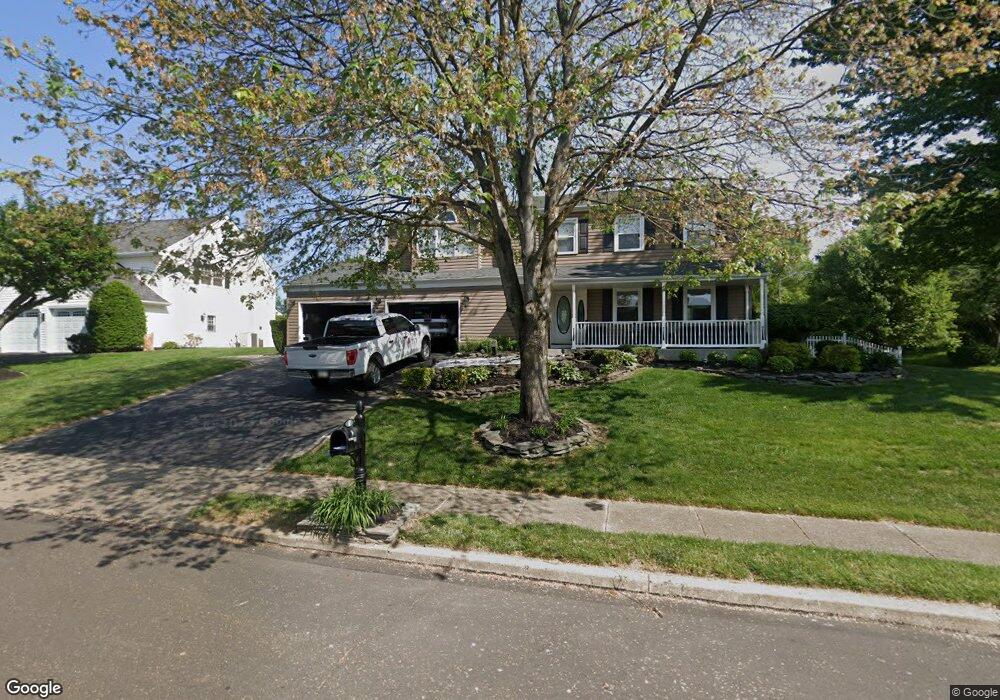
3 Alscot Cir Langhorne, PA 19047
Estimated Value: $607,000 - $662,000
3
Beds
3
Baths
2,638
Sq Ft
$241/Sq Ft
Est. Value
About This Home
This home is located at 3 Alscot Cir, Langhorne, PA 19047 and is currently estimated at $634,574, approximately $240 per square foot. 3 Alscot Cir is a home located in Bucks County with nearby schools including Tawanka Elementary School, Maple Point Middle School, and Neshaminy High School.
Ownership History
Date
Name
Owned For
Owner Type
Purchase Details
Closed on
Apr 28, 2020
Sold by
Davis Vance R and Davis Patricia L
Bought by
Davis Jeremy
Current Estimated Value
Home Financials for this Owner
Home Financials are based on the most recent Mortgage that was taken out on this home.
Original Mortgage
$344,000
Outstanding Balance
$304,832
Interest Rate
3.3%
Mortgage Type
New Conventional
Estimated Equity
$329,742
Purchase Details
Closed on
Aug 28, 1995
Sold by
Robinson Guy J and Robinson Kathy
Bought by
Davis Vance R and Davis Patricia L
Home Financials for this Owner
Home Financials are based on the most recent Mortgage that was taken out on this home.
Original Mortgage
$185,250
Interest Rate
7.8%
Purchase Details
Closed on
Aug 15, 1983
Bought by
Robinson Guy J and Robinson Kathy
Create a Home Valuation Report for This Property
The Home Valuation Report is an in-depth analysis detailing your home's value as well as a comparison with similar homes in the area
Home Values in the Area
Average Home Value in this Area
Purchase History
| Date | Buyer | Sale Price | Title Company |
|---|---|---|---|
| Davis Jeremy | -- | Trident Land Transfer Co Lp | |
| Davis Vance R | $195,000 | -- | |
| Robinson Guy J | $78,000 | -- |
Source: Public Records
Mortgage History
| Date | Status | Borrower | Loan Amount |
|---|---|---|---|
| Open | Davis Jeremy | $344,000 | |
| Closed | Davis Vance R | $185,250 |
Source: Public Records
Tax History
| Year | Tax Paid | Tax Assessment Tax Assessment Total Assessment is a certain percentage of the fair market value that is determined by local assessors to be the total taxable value of land and additions on the property. | Land | Improvement |
|---|---|---|---|---|
| 2025 | $8,212 | $37,720 | $7,760 | $29,960 |
| 2024 | $8,212 | $37,720 | $7,760 | $29,960 |
| 2023 | $8,082 | $37,720 | $7,760 | $29,960 |
| 2022 | $7,869 | $37,720 | $7,760 | $29,960 |
| 2021 | $7,869 | $37,720 | $7,760 | $29,960 |
| 2020 | $7,775 | $37,720 | $7,760 | $29,960 |
| 2019 | $7,601 | $37,720 | $7,760 | $29,960 |
| 2018 | $7,462 | $37,720 | $7,760 | $29,960 |
| 2017 | $7,271 | $37,720 | $7,760 | $29,960 |
| 2016 | $7,271 | $37,720 | $7,760 | $29,960 |
| 2015 | $7,461 | $37,720 | $7,760 | $29,960 |
| 2014 | $7,461 | $37,720 | $7,760 | $29,960 |
Source: Public Records
Map
Nearby Homes
- 174 N Hawthorne Ave
- 139 Playwicki St
- 320 N Elmwood Ave
- 281 S Clearview Ave
- 429 Grand Ave
- 8 Quartermaster Rd
- 739 Bridgeview Rd
- 743 Bridgeview Rd
- 528 W Maple Ave
- 35 Golf Club Dr
- 2527 Tulip Ln
- 879 Bridgetown Pike
- 2523 Arrowhead Dr
- 93 Meer Dr
- 2533 Skyview Ave
- 1420 Super Hwy
- 737 Lynwood Dr
- 565 Hulmeville Rd
- 225 Buttonwood Dr
- 1860 Powderhorn Ct
Your Personal Tour Guide
Ask me questions while you tour the home.