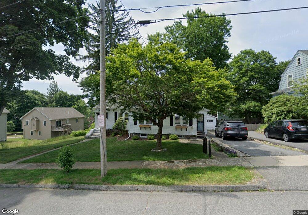
3 Columbine Rd Worcester, MA 01609
Newton Square NeighborhoodEstimated Value: $422,896 - $464,000
2
Beds
2
Baths
1,316
Sq Ft
$338/Sq Ft
Est. Value
About This Home
This home is located at 3 Columbine Rd, Worcester, MA 01609 and is currently estimated at $444,224, approximately $337 per square foot. 3 Columbine Rd is a home located in Worcester County with nearby schools including Tatnuck Magnet School, Chandler Magnet, and Jacob Hiatt Magnet School.
Ownership History
Date
Name
Owned For
Owner Type
Purchase Details
Closed on
Aug 31, 2017
Sold by
V & J Llc
Bought by
Boman Kristina
Current Estimated Value
Home Financials for this Owner
Home Financials are based on the most recent Mortgage that was taken out on this home.
Original Mortgage
$172,000
Outstanding Balance
$141,442
Interest Rate
3.96%
Mortgage Type
New Conventional
Estimated Equity
$302,782
Purchase Details
Closed on
Jun 6, 2017
Sold by
Mayes Sandra and Wells Fargo Bank Na
Bought by
V & J Llc
Home Financials for this Owner
Home Financials are based on the most recent Mortgage that was taken out on this home.
Original Mortgage
$71,250
Interest Rate
3.97%
Mortgage Type
New Conventional
Purchase Details
Closed on
Apr 9, 1991
Sold by
Golding Dominic and Golding Claire
Bought by
Miner Mary and Mayes Sandra L
Home Financials for this Owner
Home Financials are based on the most recent Mortgage that was taken out on this home.
Original Mortgage
$113,400
Interest Rate
9.2%
Mortgage Type
Purchase Money Mortgage
Create a Home Valuation Report for This Property
The Home Valuation Report is an in-depth analysis detailing your home's value as well as a comparison with similar homes in the area
Home Values in the Area
Average Home Value in this Area
Purchase History
We collect this data history from publicly available records. To have your information removed, we recommend requesting removal directly through your county’s website.
| Date | Buyer | Sale Price | Title Company |
|---|---|---|---|
| Boman Kristina | $215,000 | -- | |
| V & J Llc | $95,000 | -- | |
| Miner Mary | $115,000 | -- |
Source: Public Records
Mortgage History
We collect this data history from publicly available records. To have your information removed, we recommend requesting removal directly through your county’s website.
| Date | Status | Borrower | Loan Amount |
|---|---|---|---|
| Open | Boman Kristina | $172,000 | |
| Previous Owner | V & J Llc | $71,250 | |
| Previous Owner | Miner Mary | $102,483 | |
| Previous Owner | Miner Mary | $110,255 | |
| Previous Owner | Miner Mary | $110,225 | |
| Previous Owner | Miner Mary | $113,400 |
Source: Public Records
Tax History
| Year | Tax Paid | Tax Assessment Tax Assessment Total Assessment is a certain percentage of the fair market value that is determined by local assessors to be the total taxable value of land and additions on the property. | Land | Improvement |
|---|---|---|---|---|
| 2025 | $4,467 | $338,700 | $118,800 | $219,900 |
| 2024 | $4,390 | $319,300 | $118,800 | $200,500 |
| 2023 | $4,210 | $293,600 | $103,300 | $190,300 |
| 2022 | $3,841 | $252,500 | $82,700 | $169,800 |
| 2021 | $3,702 | $227,400 | $66,100 | $161,300 |
| 2020 | $3,640 | $214,100 | $66,100 | $148,000 |
| 2019 | $3,447 | $191,500 | $59,600 | $131,900 |
| 2018 | $3,442 | $182,000 | $59,600 | $122,400 |
| 2017 | $3,340 | $173,800 | $59,600 | $114,200 |
| 2016 | $3,289 | $159,600 | $43,900 | $115,700 |
| 2015 | $3,203 | $159,600 | $43,900 | $115,700 |
| 2014 | $3,119 | $159,600 | $43,900 | $115,700 |
Source: Public Records
Map
Nearby Homes
- 5 Columbine Rd
- 13 Moreland St
- LOT 1-A Moreland St
- 15 Moreland St
- 2 Biltmore Rd
- 4 Biltmore Rd
- 11 Moreland St
- 4 Columbine Rd
- 2 Columbine Rd
- 6 Biltmore Rd
- 6 Columbine Rd
- 17 Moreland St
- 9 Columbine Rd
- 8 Columbine Rd
- 16 Moreland St
- 8 Biltmore Rd
- 12 Moreland St
- 12 Columbine Rd
- 1009 Pleasant St
- 1009 Pleasant St Unit 1009
Your Personal Tour Guide
Ask me questions while you tour the home.