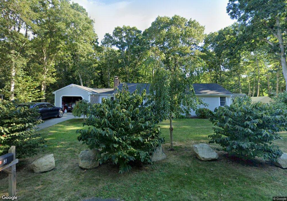
3 Deerfield Rd Dennis, MA 02638
East Dennis NeighborhoodEstimated Value: $656,000 - $946,000
3
Beds
2
Baths
1,056
Sq Ft
$778/Sq Ft
Est. Value
About This Home
This home is located at 3 Deerfield Rd, Dennis, MA 02638 and is currently estimated at $821,545, approximately $777 per square foot. 3 Deerfield Rd is a home located in Barnstable County with nearby schools including Dennis-Yarmouth Regional High School.
Ownership History
Date
Name
Owned For
Owner Type
Purchase Details
Closed on
May 30, 2008
Sold by
Elmer Dale N
Bought by
Laurie Donna M and Laurie Roy K
Current Estimated Value
Purchase Details
Closed on
Sep 27, 2006
Sold by
Elmer Dale N
Bought by
Elmer Dale N and Christern Wendy M
Purchase Details
Closed on
Dec 9, 2004
Sold by
Votrain Mary C
Bought by
Elmer Dale N and Christern Wendy M
Purchase Details
Closed on
Oct 20, 1994
Sold by
Nyberg Peter J
Bought by
Day Everett W
Home Financials for this Owner
Home Financials are based on the most recent Mortgage that was taken out on this home.
Original Mortgage
$100,000
Interest Rate
8.49%
Mortgage Type
Purchase Money Mortgage
Create a Home Valuation Report for This Property
The Home Valuation Report is an in-depth analysis detailing your home's value as well as a comparison with similar homes in the area
Home Values in the Area
Average Home Value in this Area
Purchase History
| Date | Buyer | Sale Price | Title Company |
|---|---|---|---|
| Laurie Donna M | $285,000 | -- | |
| Elmer Dale N | -- | -- | |
| Elmer Dale N | -- | -- | |
| Elmer Dale N | $335,000 | -- | |
| Day Everett W | $45,000 | -- | |
| Day Everett W | $45,000 | -- | |
| Elmer Dale N | -- | -- | |
| Elmer Dale N | -- | -- | |
| Elmer Dale N | $335,000 | -- | |
| Day Everett W | $45,000 | -- |
Source: Public Records
Mortgage History
| Date | Status | Borrower | Loan Amount |
|---|---|---|---|
| Previous Owner | Day Everett W | $100,000 |
Source: Public Records
Tax History
| Year | Tax Paid | Tax Assessment Tax Assessment Total Assessment is a certain percentage of the fair market value that is determined by local assessors to be the total taxable value of land and additions on the property. | Land | Improvement |
|---|---|---|---|---|
| 2025 | $3,131 | $723,200 | $182,100 | $541,100 |
| 2024 | $3,057 | $696,400 | $175,100 | $521,300 |
| 2023 | $2,958 | $633,400 | $159,200 | $474,200 |
| 2022 | $2,764 | $493,600 | $143,400 | $350,200 |
| 2021 | $2,619 | $434,400 | $140,600 | $293,800 |
| 2020 | $2,486 | $407,500 | $140,600 | $266,900 |
| 2019 | $6,463 | $388,100 | $150,400 | $237,700 |
| 2018 | $2,261 | $356,600 | $143,100 | $213,500 |
| 2017 | $2,079 | $338,000 | $131,200 | $206,800 |
| 2016 | $2,116 | $324,100 | $149,100 | $175,000 |
| 2015 | $2,074 | $324,100 | $149,100 | $175,000 |
| 2014 | $1,706 | $268,600 | $131,200 | $137,400 |
Source: Public Records
Map
Nearby Homes
- 58 Terrace Hill Dr
- 61 Terrace Hill Dr
- 276 Scargo Hill Rd
- 31 High Head Rd
- 930 Old Bass River Rd
- 102 Prince Way
- 32 Captain Walsh Dr
- 1354 Route 134
- 35 Crown Grant Dr
- 15 Signal Hill Dr
- 645 Main St Back Lot
- 6 Thomas Ct
- 1376 Bridge St Unit 16
- 1706 Massachusetts 6a Unit 18
- 1706 Route 6a Unit 18
- 19 Deacon Joseph Ln
- 59 Hope Ln
- 480 Main St
- 26 S West Dr
- 39 Whittier Dr
Your Personal Tour Guide
Ask me questions while you tour the home.