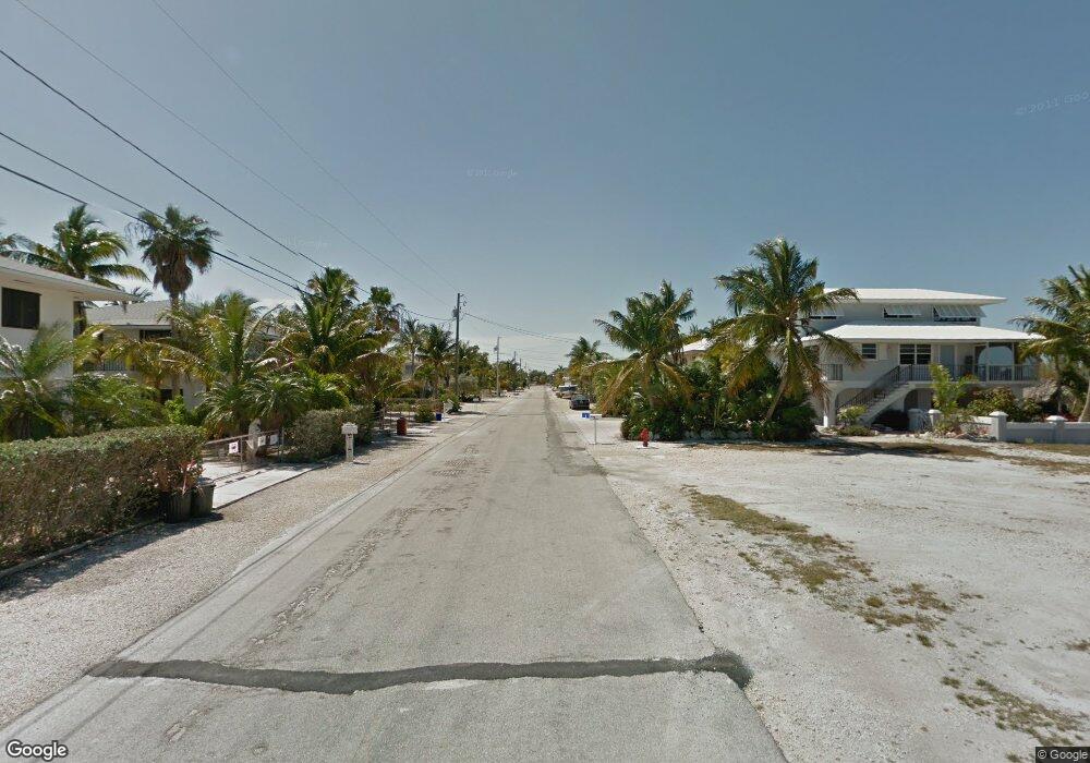
3 Forrestal Ave Big Pine Key, FL 33043
Estimated Value: $373,503 - $453,000
Studio
--
Bath
--
Sq Ft
7,492
Sq Ft Lot
About This Home
This home is located at 3 Forrestal Ave, Big Pine Key, FL 33043 and is currently estimated at $425,834. 3 Forrestal Ave is a home located in Monroe County with nearby schools including Sugarloaf School, Marathon Middle High School, and Key West High School.
Ownership History
Date
Name
Owned For
Owner Type
Purchase Details
Closed on
Feb 23, 2015
Sold by
Barris Bernice M
Bought by
Barris Bernice M and Barris Charles B
Current Estimated Value
Purchase Details
Closed on
Mar 6, 2012
Sold by
Poon Heung Shing and Cheung Ki Wing
Bought by
Barris Bernice M
Purchase Details
Closed on
Nov 28, 2007
Sold by
Mckittrick Amy L
Bought by
Poon Heung Shing and Cheung Ki Wing
Home Financials for this Owner
Home Financials are based on the most recent Mortgage that was taken out on this home.
Original Mortgage
$91,000
Interest Rate
6.36%
Mortgage Type
Unknown
Purchase Details
Closed on
Jun 5, 1997
Sold by
Baker Joan S and Baker S
Bought by
Baker Jerome S
Create a Home Valuation Report for This Property
The Home Valuation Report is an in-depth analysis detailing your home's value as well as a comparison with similar homes in the area
Home Values in the Area
Average Home Value in this Area
Purchase History
| Date | Buyer | Sale Price | Title Company |
|---|---|---|---|
| Barris Bernice M | -- | None Available | |
| Barris Bernice M | $130,000 | True Title Agency Inc | |
| Poon Heung Shing | $130,000 | True Title Agency Inc | |
| Baker Jerome S | $100 | -- |
Source: Public Records
Mortgage History
| Date | Status | Borrower | Loan Amount |
|---|---|---|---|
| Previous Owner | Poon Heung Shing | $91,000 |
Source: Public Records
Tax History
| Year | Tax Paid | Tax Assessment Tax Assessment Total Assessment is a certain percentage of the fair market value that is determined by local assessors to be the total taxable value of land and additions on the property. | Land | Improvement |
|---|---|---|---|---|
| 2025 | $1,785 | $211,085 | $185,625 | $25,460 |
| 2024 | $1,874 | $211,859 | $185,625 | $26,234 |
| 2023 | $1,874 | $233,264 | $206,250 | $27,014 |
| 2022 | $1,775 | $234,044 | $206,250 | $27,794 |
| 2021 | $1,727 | $209,580 | $181,500 | $28,080 |
| 2020 | $1,654 | $210,343 | $181,500 | $28,843 |
| 2019 | $1,466 | $178,106 | $148,500 | $29,606 |
| 2018 | $1,336 | $151,770 | $125,813 | $25,957 |
| 2017 | $1,226 | $144,144 | $0 | $0 |
| 2016 | $1,078 | $110,512 | $0 | $0 |
| 2015 | $1,179 | $120,960 | $0 | $0 |
| 2014 | $1,099 | $103,973 | $0 | $0 |
Source: Public Records
Map
Nearby Homes
- 29653 Saratoga Ave
- 29549 Forrestal Ave
- 29662 Independence Ave
- 29544 Independence Ave
- 29559 Ranger Ave
- 29558 Ranger Ave
- 29678 Enterprise Ave
- 29523 Enterprise Ave
- 29850 Journeys End Rd
- 0 Bk 4 Lt 9 Pine Crest Rd Unit 618082
- 29678 Constitution Ave
- 29859 Overseas Hwy Unit LOT 15
- 29859 Overseas Hwy Unit 37
- 29859 Overseas Hwy Unit A-19
- 57 Pelican Ln
- 74 Pelican Ln
- 29951 Pine Channel Rd
- 29961 Pine Channel Rd
- 30023 Pine Channel Rd
- 175 E Cahill Ct
- 29683 Forrestal Ave
- 29667 Forrestal Ave
- 29674 Forrestal Ave
- 29655 Forrestal Ave
- 29687 Forrestal Ave
- 29682 Forrestal Ave
- 29666 Forrestal Ave
- 29654 Forrestal Ave
- 29688 Forrestal Ave
- 29657 Forrestal Ave
- 29636 Forrestal Ave
- 29673 Saratoga Ave
- 29681 Saratoga Ave
- 29663 Saratoga Ave
- 29687 Saratoga Ave
- 2540 29653 Saratoga Ave
- 29572 Forrestal Ave
- 29635 Saratoga Ave
- 29565 Forrestal Ave
- 29571 Saratoga Ave
Your Personal Tour Guide
Ask me questions while you tour the home.