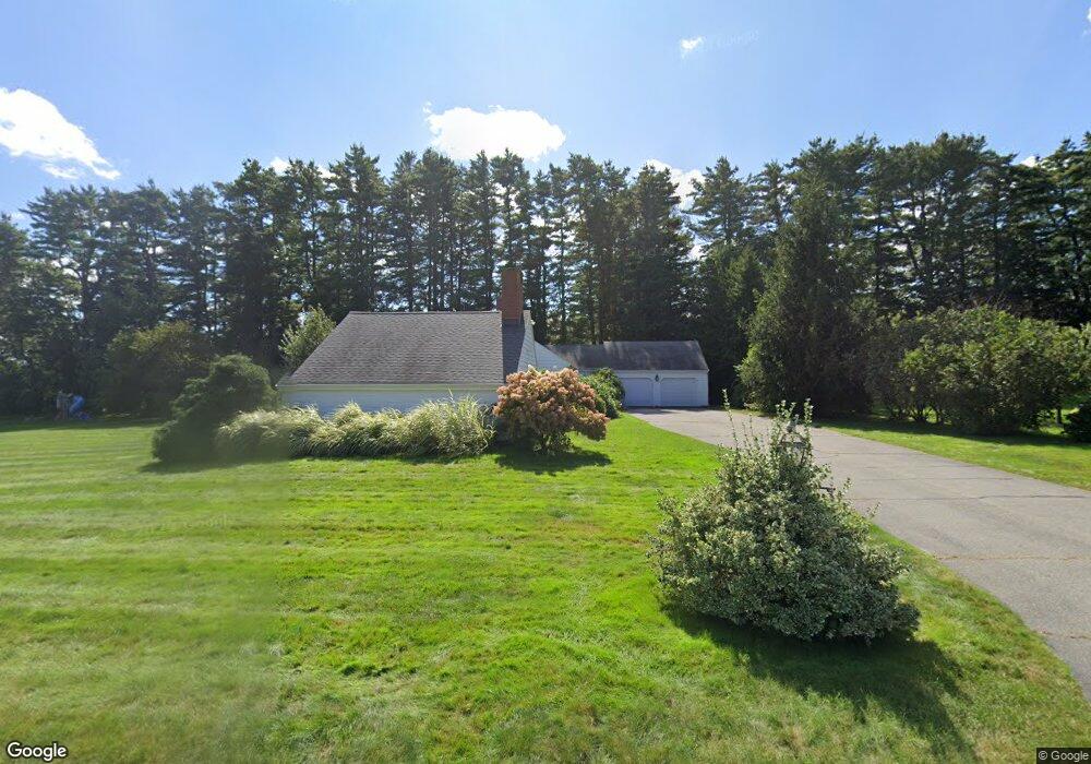
3 Lantern Ln Cumberland Foreside, ME 04110
Cumberland Foreside NeighborhoodEstimated Value: $1,428,006 - $1,938,000
About This Home
This home is located at 3 Lantern Ln, Cumberland Foreside, ME 04110 and is currently estimated at $1,672,252, approximately $512 per square foot. 3 Lantern Ln is a home located in Cumberland County with nearby schools including Mabel I. Wilson School, Greely Middle School 4-5, and Greely Middle School.
Ownership History
We collect this data history from publicly available records. To have your information removed, we recommend requesting removal directly through your county’s website.
Purchase Details
Purchase Details
Home Values in the Area
Average Home Value in this Area
Purchase History
We collect this data history from publicly available records. To have your information removed, we recommend requesting removal directly through your county’s website.
| Date | Buyer | Sale Price | Title Company |
|---|---|---|---|
| -- | -- | ||
| -- | -- |
Tax History
We collect this data history from publicly available records. To have your information removed, we recommend requesting removal directly through your county’s website.
| Year | Tax Paid | Tax Assessment Tax Assessment Total Assessment is a certain percentage of the fair market value that is determined by local assessors to be the total taxable value of land and additions on the property. | Land | Improvement |
|---|---|---|---|---|
| 2025 | $16,702 | $663,300 | $435,000 | $228,300 |
| 2024 | $15,422 | $663,300 | $435,000 | $228,300 |
| 2023 | $14,692 | $663,300 | $435,000 | $228,300 |
| 2022 | $14,062 | $663,300 | $435,000 | $228,300 |
| 2021 | $13,631 | $663,300 | $435,000 | $228,300 |
| 2020 | $13,498 | $663,300 | $435,000 | $228,300 |
| 2019 | $13,167 | $663,300 | $435,000 | $228,300 |
| 2018 | $13,047 | $662,300 | $435,000 | $227,300 |
| 2017 | $12,451 | $662,300 | $435,000 | $227,300 |
| 2016 | $12,087 | $662,300 | $435,000 | $227,300 |
| 2015 | $11,988 | $662,300 | $435,000 | $227,300 |
| 2014 | $11,524 | $662,300 | $435,000 | $227,300 |
| 2013 | $10,948 | $644,000 | $435,000 | $209,000 |
Map
- 59 Underwood Rd
- 14 Pine Ridge Rd
- 86 Underwood Rd
- 10 Ole Musket Rd Unit 4
- 59 Maeves Way
- 38 Johnson Rd
- 255 Foreside Rd
- 22 Applegate Ln
- 7 Knight St
- 9 Conifer Ridge
- 199 Foreside Rd
- Lot 8 Sturdivant Island
- 10 Middle Rd
- 6 Surrey Ln
- 5 & 6 Harmony Way
- 5 Harmony Way
- 127 Foreside Rd
- 267 U S Route 1 Unit 308
- 267 U S 1 Unit 304
- 267 U S 1 Unit 305
- 5 Lantern Ln
- 1 Lantern Ln
- 4 Lantern Ln
- 337 Foreside Rd
- 2 Lantern Ln
- Lot 2 Foreside Rd
- 7 Stornoway Rd
- 7 Lantern Ln
- 5 Stornoway Rd
- 327 Foreside Rd
- 6 Foreside Rd
- 9 Stornoway Rd
- 1 Stornoway Rd
- 8 Foreside Rd
- 8 Lantern Ln
- 338 Foreside Rd
- 338 Foreside Road (Lot 1)
- 333 Foreside Rd
- 329 Foreside Rd
- 10 Foreside Rd
Ask me questions while you tour the home.