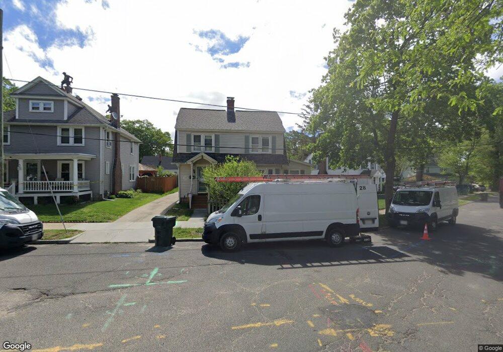
3 Newhall St Springfield, MA 01109
Pine Point NeighborhoodEstimated Value: $276,397 - $292,000
About This Home
This home is located at 3 Newhall St, Springfield, MA 01109 and is currently estimated at $283,849, approximately $219 per square foot. 3 Newhall St is a home located in Hampden County with nearby schools including Hiram L. Dorman Elementary, John F. Kennedy Academy, and Roger L. Putnam Vocational Technical Academy.
Ownership History
We collect this data history from publicly available records. To have your information removed, we recommend requesting removal directly through your county’s website.
Purchase Details
Home Values in the Area
Average Home Value in this Area
Purchase History
We collect this data history from publicly available records. To have your information removed, we recommend requesting removal directly through your county’s website.
| Date | Buyer | Sale Price | Title Company |
|---|---|---|---|
| $31,000 | -- |
Mortgage History
We collect this data history from publicly available records. To have your information removed, we recommend requesting removal directly through your county’s website.
| Date | Status | Borrower | Loan Amount |
|---|---|---|---|
| Open | $35,000 | ||
| Closed | $99,000 | ||
| Closed | $93,500 | ||
| Closed | $40,000 | ||
| Closed | $21,000 | ||
| Closed | $64,000 | ||
| Closed | $64,000 | ||
| Closed | $3,566 |
Tax History
We collect this data history from publicly available records. To have your information removed, we recommend requesting removal directly through your county’s website.
| Year | Tax Paid | Tax Assessment Tax Assessment Total Assessment is a certain percentage of the fair market value that is determined by local assessors to be the total taxable value of land and additions on the property. | Land | Improvement |
|---|---|---|---|---|
| 2025 | $3,845 | $245,200 | $38,900 | $206,300 |
| 2024 | $3,610 | $224,800 | $32,400 | $192,400 |
| 2023 | $3,465 | $203,200 | $29,500 | $173,700 |
| 2022 | $3,282 | $174,400 | $27,500 | $146,900 |
| 2021 | $3,190 | $168,800 | $25,100 | $143,700 |
| 2020 | $3,107 | $159,100 | $25,100 | $134,000 |
| 2019 | $3,062 | $155,600 | $25,100 | $130,500 |
| 2018 | $2,800 | $142,300 | $25,100 | $117,200 |
| 2017 | $2,634 | $134,000 | $23,200 | $110,800 |
| 2016 | $2,452 | $124,700 | $23,200 | $101,500 |
| 2015 | $2,488 | $126,500 | $23,200 | $103,300 |
Map
- 79 Marsden St
- 34 Preston St
- 80 Newhall St
- 142 Jasper St
- 0 Marsden St
- 127 Elijah St
- 11 Elaine Cir
- 117 Burghardt St
- 5 Barber St
- 19 Wilton St
- 57-59 E Bay Path Terrace
- 92 Massreco St
- 50-52 Balis St
- 119 Massreco St
- 16 N Hood St
- 111 Breckwood Blvd
- 189 Seymour Ave
- 157 Penrose St
- 9 Woodcliff St
- 501 Berkshire Ave
- 5 Newhall St
- 11 Newhall St
- 154 Berkshire Ave
- 17 Newhall St
- 148 Berkshire Ave
- 160 Berkshire Ave
- 25 Marsden St
- 164 Berkshire Ave
- 144 Berkshire Ave
- 21 Newhall St
- 42 Marsden St
- 32 Marsden St
- 168 Berkshire Ave
- 138 Berkshire Ave
- 46 Marsden St
- 27 Newhall St
- 28 Marsden St
- 55 Marsden St
- 174 Berkshire Ave Unit 176
- 50 Marsden St Unit 52
Ask me questions while you tour the home.