3 Robin Rd Spencer, MA 01562
Estimated Value: $610,000 - $748,000
4
Beds
4
Baths
2,816
Sq Ft
$240/Sq Ft
Est. Value
About This Home
This home is located at 3 Robin Rd, Spencer, MA 01562 and is currently estimated at $676,241, approximately $240 per square foot. 3 Robin Rd is a home located in Worcester County with nearby schools including David Prouty High School.
Ownership History
Date
Name
Owned For
Owner Type
Purchase Details
Closed on
Apr 28, 2000
Sold by
Kwiatkowski Mary and Kwiatkowski James L
Bought by
Gosselin Brian N and Gosselin Diane D
Current Estimated Value
Home Financials for this Owner
Home Financials are based on the most recent Mortgage that was taken out on this home.
Original Mortgage
$150,000
Interest Rate
8.23%
Mortgage Type
Purchase Money Mortgage
Purchase Details
Closed on
Jun 27, 1997
Sold by
Bourassa John D and Bourassa Barbara A
Bought by
Gosselin Brian N and Haynes Diane E
Home Financials for this Owner
Home Financials are based on the most recent Mortgage that was taken out on this home.
Original Mortgage
$111,800
Interest Rate
7.81%
Mortgage Type
Purchase Money Mortgage
Create a Home Valuation Report for This Property
The Home Valuation Report is an in-depth analysis detailing your home's value as well as a comparison with similar homes in the area
Home Values in the Area
Average Home Value in this Area
Purchase History
We collect this data history from publicly available records. To have your information removed, we recommend requesting removal directly through your county’s website.
| Date | Buyer | Sale Price | Title Company |
|---|---|---|---|
| Gosselin Brian N | $45,000 | -- | |
| Gosselin Brian N | $117,700 | -- |
Source: Public Records
Mortgage History
We collect this data history from publicly available records. To have your information removed, we recommend requesting removal directly through your county’s website.
| Date | Status | Borrower | Loan Amount |
|---|---|---|---|
| Open | Gosselin Brian N | $232,000 | |
| Closed | Gosselin Brian N | $162,500 | |
| Closed | Gosselin Brian N | $150,000 | |
| Previous Owner | Gosselin Brian N | $111,800 |
Source: Public Records
Tax History
| Year | Tax Paid | Tax Assessment Tax Assessment Total Assessment is a certain percentage of the fair market value that is determined by local assessors to be the total taxable value of land and additions on the property. | Land | Improvement |
|---|---|---|---|---|
| 2025 | $72 | $614,200 | $62,800 | $551,400 |
| 2024 | $7,017 | $613,400 | $62,800 | $550,600 |
| 2023 | $6,580 | $545,600 | $62,800 | $482,800 |
| 2022 | $6,318 | $480,100 | $56,900 | $423,200 |
| 2021 | $6,100 | $434,500 | $56,900 | $377,600 |
| 2020 | $5,590 | $395,900 | $56,900 | $339,000 |
| 2019 | $5,318 | $383,700 | $51,600 | $332,100 |
| 2018 | $4,973 | $370,600 | $59,500 | $311,100 |
| 2017 | $4,984 | $356,500 | $56,900 | $299,600 |
| 2016 | $4,806 | $336,300 | $56,900 | $279,400 |
| 2015 | $4,668 | $341,500 | $62,800 | $278,700 |
| 2014 | $4,491 | $341,500 | $62,800 | $278,700 |
Source: Public Records
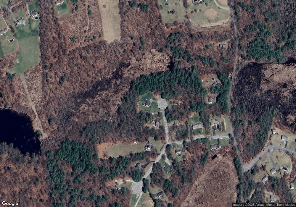
Map
Nearby Homes
Your Personal Tour Guide
Ask me questions while you tour the home.