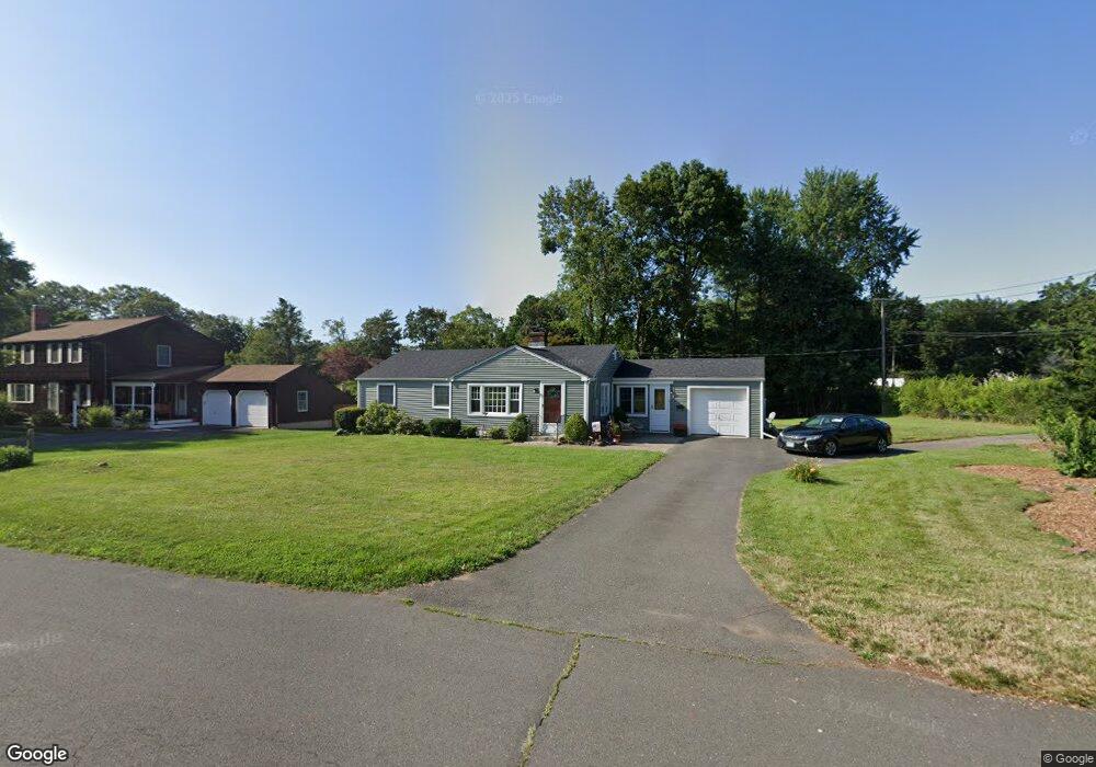
3 Stodmor Rd Simsbury, CT 06070
Estimated Value: $394,000 - $414,692
3
Beds
2
Baths
1,418
Sq Ft
$287/Sq Ft
Est. Value
About This Home
This home is located at 3 Stodmor Rd, Simsbury, CT 06070 and is currently estimated at $406,923, approximately $286 per square foot. 3 Stodmor Rd is a home located in Hartford County with nearby schools including Central School, Henry James Memorial School, and Simsbury High School.
Ownership History
Date
Name
Owned For
Owner Type
Purchase Details
Closed on
Aug 24, 1994
Sold by
Morander Georgiana
Bought by
Fletcher Ronald R and Fletcher Mary L
Current Estimated Value
Purchase Details
Closed on
Jul 26, 1991
Sold by
Krogh Ronald
Bought by
Solomson Michael and Solomson Cynthia
Create a Home Valuation Report for This Property
The Home Valuation Report is an in-depth analysis detailing your home's value as well as a comparison with similar homes in the area
Home Values in the Area
Average Home Value in this Area
Purchase History
| Date | Buyer | Sale Price | Title Company |
|---|---|---|---|
| Fletcher Ronald R | $218,000 | -- | |
| Solomson Michael | $154,000 | -- |
Source: Public Records
Mortgage History
| Date | Status | Borrower | Loan Amount |
|---|---|---|---|
| Open | Solomson Michael | $50,000 | |
| Open | Solomson Michael | $104,500 |
Source: Public Records
Tax History
| Year | Tax Paid | Tax Assessment Tax Assessment Total Assessment is a certain percentage of the fair market value that is determined by local assessors to be the total taxable value of land and additions on the property. | Land | Improvement |
|---|---|---|---|---|
| 2025 | $6,499 | $190,260 | $75,040 | $115,220 |
| 2024 | $6,338 | $190,260 | $75,040 | $115,220 |
| 2023 | $6,054 | $190,260 | $75,040 | $115,220 |
| 2022 | $5,717 | $148,000 | $79,530 | $68,470 |
| 2021 | $5,717 | $148,000 | $79,530 | $68,470 |
| 2020 | $5,489 | $148,000 | $79,530 | $68,470 |
| 2019 | $5,523 | $148,000 | $79,530 | $68,470 |
| 2018 | $5,563 | $148,000 | $79,530 | $68,470 |
| 2017 | $5,523 | $142,480 | $79,530 | $62,950 |
| 2016 | $5,289 | $142,480 | $79,530 | $62,950 |
| 2015 | $5,289 | $142,480 | $79,530 | $62,950 |
| 2014 | $5,292 | $142,480 | $79,530 | $62,950 |
Source: Public Records
Map
Nearby Homes
- 31 Oxford Ct
- 14 Richard Rd
- 16 Richard Rd
- 7 Grimes Brook Place
- 28 Great Pond Rd
- 6 Heritage Ln
- 9 Carriage Dr Unit 9
- 121 Hoskins Rd
- 7 School House Ln
- 14 North Dr
- 1 West St Unit 219
- 92 Laurel Ln
- 79 Cambridge Ct
- 59 Cambridge Ct
- 100 Cambridge Ct
- 36 Clifdon Dr
- 89 Hop Brook Rd
- 24 Hunting Ridge Dr
- 10 Litchfield Dr
- 2 Gillette Ct Unit D
Your Personal Tour Guide
Ask me questions while you tour the home.