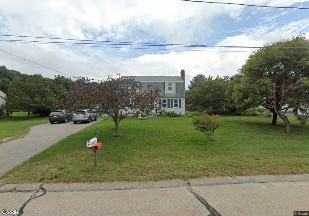
30 Aldis Ln Wrentham, MA 02093
Wrentham AreaEstimated Value: $627,935 - $735,000
About This Home
This home is located at 30 Aldis Ln, Wrentham, MA 02093 and is currently estimated at $662,984, approximately $406 per square foot. 30 Aldis Ln is a home located in Norfolk County with nearby schools including Delaney Elementary School and Charles E Roderick.
Ownership History
We collect this data history from publicly available records. To have your information removed, we recommend requesting removal directly through your county’s website.
Purchase Details
Purchase Details
Purchase History
We collect this data history from publicly available records. To have your information removed, we recommend requesting removal directly through your county’s website.
| Date | Buyer | Sale Price | Title Company |
|---|---|---|---|
| -- | None Available | ||
| -- | -- |
Mortgage History
We collect this data history from publicly available records. To have your information removed, we recommend requesting removal directly through your county’s website.
| Date | Status | Borrower | Loan Amount |
|---|---|---|---|
| Previous Owner | $150,000 |
Tax History
We collect this data history from publicly available records. To have your information removed, we recommend requesting removal directly through your county’s website.
| Year | Tax Paid | Tax Assessment Tax Assessment Total Assessment is a certain percentage of the fair market value that is determined by local assessors to be the total taxable value of land and additions on the property. | Land | Improvement |
|---|---|---|---|---|
| 2025 | $6,146 | $530,300 | $289,500 | $240,800 |
| 2024 | $5,933 | $494,400 | $289,500 | $204,900 |
| 2023 | $5,751 | $455,700 | $263,300 | $192,400 |
| 2022 | $5,612 | $410,500 | $245,700 | $164,800 |
| 2021 | $5,296 | $376,400 | $214,400 | $162,000 |
| 2020 | $5,163 | $362,300 | $190,700 | $171,600 |
| 2019 | $5,116 | $362,300 | $190,700 | $171,600 |
| 2018 | $4,805 | $337,400 | $190,900 | $146,500 |
| 2017 | $4,561 | $320,100 | $187,200 | $132,900 |
| 2016 | $4,375 | $306,400 | $181,800 | $124,600 |
| 2015 | $4,259 | $284,300 | $174,700 | $109,600 |
| 2014 | $4,209 | $274,900 | $168,100 | $106,800 |
Map
- 371 & 377 Franklin St
- 165 Harvard Ln
- 18 Shears St
- 28 Park St
- 95 Circle Dr
- 78 Franklin St
- 151 Dedham St
- 70 Mirror Lake Ave Unit 70
- 15 Lorraine Metcalf Dr
- 35 Jones St
- 16 Beaverbrook Rd
- 424 Dedham St
- 0 W Birch Rd
- 47 Sleepy Hollow Ln
- 19 King St
- 18 A St
- 4 Weber Farm Rd Unit 4
- 140 King James Way
- 8 Weber Farm Rd Unit 8
- 46 King St
Ask me questions while you tour the home.