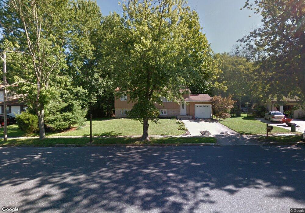
30 Algonkin Ct Sewell, NJ 08080
Estimated Value: $331,063 - $473,000
Studio
--
Bath
2,094
Sq Ft
$202/Sq Ft
Est. Value
About This Home
This home is located at 30 Algonkin Ct, Sewell, NJ 08080 and is currently estimated at $422,016, approximately $201 per square foot. 30 Algonkin Ct is a home located in Gloucester County with nearby schools including Washington Township High School, Bells Elementary School, and Chestnut Ridge Midle School.
Ownership History
Date
Name
Owned For
Owner Type
Purchase Details
Closed on
Jan 16, 1998
Sold by
Bernstein Sanford M and Bernstein Susan P
Bought by
Mulholland William and Mulholland Denise
Current Estimated Value
Home Financials for this Owner
Home Financials are based on the most recent Mortgage that was taken out on this home.
Original Mortgage
$116,850
Interest Rate
6.93%
Create a Home Valuation Report for This Property
The Home Valuation Report is an in-depth analysis detailing your home's value as well as a comparison with similar homes in the area
Home Values in the Area
Average Home Value in this Area
Purchase History
| Date | Buyer | Sale Price | Title Company |
|---|---|---|---|
| Mulholland William | $123,000 | Independence Abstract & Titl |
Source: Public Records
Mortgage History
| Date | Status | Borrower | Loan Amount |
|---|---|---|---|
| Previous Owner | Mulholland William | $116,850 |
Source: Public Records
Tax History
| Year | Tax Paid | Tax Assessment Tax Assessment Total Assessment is a certain percentage of the fair market value that is determined by local assessors to be the total taxable value of land and additions on the property. | Land | Improvement |
|---|---|---|---|---|
| 2025 | $7,553 | $204,200 | $51,500 | $152,700 |
| 2024 | $7,341 | $204,200 | $51,500 | $152,700 |
| 2023 | $7,341 | $204,200 | $51,500 | $152,700 |
| 2022 | $7,100 | $204,200 | $51,500 | $152,700 |
| 2021 | $5,231 | $204,200 | $51,500 | $152,700 |
| 2020 | $6,904 | $204,200 | $51,500 | $152,700 |
| 2019 | $6,681 | $183,300 | $36,500 | $146,800 |
| 2018 | $6,606 | $183,300 | $36,500 | $146,800 |
| 2017 | $6,524 | $183,300 | $36,500 | $146,800 |
| 2016 | $6,485 | $183,300 | $36,500 | $146,800 |
| 2015 | $6,394 | $183,300 | $36,500 | $146,800 |
| 2014 | $6,192 | $183,300 | $36,500 | $146,800 |
Source: Public Records
Map
Nearby Homes
- 102 Massey Dr
- 609 Hurffville Crosskeys Rd
- 88 Freedom Rd
- 412 Greentree Rd
- 74 Twin Ponds Dr
- 3 Thomas Mckean Bldg
- 1 Samuel Huntington Bldg
- 8 Charles Carroll Bldg
- 2 Charles Carroll Bldg
- 11 Kent Place Unit Q6
- 19 Harrogate Ct Unit V3
- 17 Harrogate Ct Unit V1
- 18 Brighton Place
- 1795 Witherspoon Ct
- 216 Pratt Ct Unit 216
- 565 Cambridge Rd
- 14 Patriot Ln
- 126 Lipizzan Rd
- 224 Wilson Rd
- 144 Hurffville Grenloch Rd
Your Personal Tour Guide
Ask me questions while you tour the home.