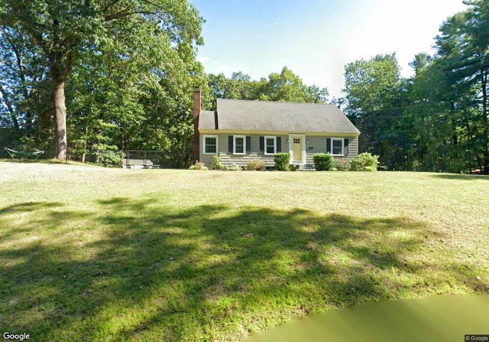
30 Burntmeadow Rd Groton, MA 01450
Estimated Value: $667,170 - $695,000
About This Home
This home is located at 30 Burntmeadow Rd, Groton, MA 01450 and is currently estimated at $684,043, approximately $356 per square foot. 30 Burntmeadow Rd is a home located in Middlesex County with nearby schools including Groton Dunstable Regional High School, Groton Community School, and Seven Hills At Groton.
Ownership History
We collect this data history from publicly available records. To have your information removed, we recommend requesting removal directly through your county’s website.
Purchase Details
Home Financials for this Owner
Home Financials are based on the most recent Mortgage that was taken out on this home.Purchase Details
Home Financials for this Owner
Home Financials are based on the most recent Mortgage that was taken out on this home.Purchase Details
Home Financials for this Owner
Home Financials are based on the most recent Mortgage that was taken out on this home.Purchase Details
Home Values in the Area
Average Home Value in this Area
Purchase History
We collect this data history from publicly available records. To have your information removed, we recommend requesting removal directly through your county’s website.
| Date | Buyer | Sale Price | Title Company |
|---|---|---|---|
| $600,000 | None Available | ||
| $600,000 | None Available | ||
| $30,000 | None Available | ||
| $30,000 | None Available | ||
| $345,000 | -- | ||
| $345,000 | -- | ||
| $345,000 | -- | ||
| -- | -- | ||
| -- | -- | ||
| -- | -- |
Mortgage History
We collect this data history from publicly available records. To have your information removed, we recommend requesting removal directly through your county’s website.
| Date | Status | Borrower | Loan Amount |
|---|---|---|---|
| Open | $300,000 | ||
| Closed | $300,000 | ||
| Previous Owner | $304,000 | ||
| Previous Owner | $275,000 |
Tax History
We collect this data history from publicly available records. To have your information removed, we recommend requesting removal directly through your county’s website.
| Year | Tax Paid | Tax Assessment Tax Assessment Total Assessment is a certain percentage of the fair market value that is determined by local assessors to be the total taxable value of land and additions on the property. | Land | Improvement |
|---|---|---|---|---|
| 2025 | $8,615 | $564,900 | $232,000 | $332,900 |
| 2024 | $8,524 | $564,900 | $232,000 | $332,900 |
| 2023 | $8,026 | $513,200 | $232,000 | $281,200 |
| 2022 | $7,534 | $438,300 | $208,000 | $230,300 |
| 2021 | $7,181 | $410,400 | $197,400 | $213,000 |
| 2020 | $6,799 | $391,200 | $197,400 | $193,800 |
| 2019 | $6,465 | $370,900 | $188,000 | $182,900 |
| 2018 | $6,346 | $339,900 | $188,000 | $151,900 |
| 2017 | $6,040 | $330,800 | $188,000 | $142,800 |
| 2016 | $5,899 | $314,100 | $176,800 | $137,300 |
| 2015 | $5,408 | $296,000 | $176,800 | $119,200 |
Map
- 9 Georgia Rd
- 27 Old Homestead Rd
- 25 Whitney Pond Rd
- 338 Cow Pond Brook Rd
- 0 Alder Rd
- 0 Old Dunstable Rd
- 104 School House Rd
- 70 Legacy Ln Unit B
- 56 Mara Ln
- 561 Old Dunstable Rd
- 64 Lakeside Dr
- 227 Boston Rd
- 153 Raddin Rd
- 12 Cowdry Hill Rd
- 2 Montana Dr
- 63 Skyfields Dr
- 2 Maura Cir
- 797 Boston Rd
- 97 Chicopee Row
- 85 Chicopee Row
- 36 Burntmeadow Rd
- 36 Burntmeadow Rd Unit 1
- 36A Burntmeadow Rd
- 22 Burntmeadow Rd
- 48 Burntmeadow Rd
- 715 Lowell Rd
- 717 Lowell Rd
- 37 Burntmeadow Rd
- 56 Burntmeadow Rd
- 716 Lowell Rd
- 747 Lowell Rd
- 747 Lowell Rd Unit 1
- 747 Lowell Rd Unit 2
- 738 Lowell Rd
- 751 Lowell Rd
- 53 Burntmeadow Rd
- 666 Lowell Rd
- 736 Lowell Rd
- 749 Lowell Rd Unit B
- 749 Lowell Rd Unit A
Ask me questions while you tour the home.