30 Dugan Rd Cornwall Bridge, CT 06754
Estimated Value: $530,000 - $617,000
About This Home
This home is located at 30 Dugan Rd, Cornwall Bridge, CT 06754 and is currently estimated at $574,849, approximately $313 per square foot. 30 Dugan Rd is a home with nearby schools including Kent Center School and Housatonic Valley Regional High School.
Ownership History
We collect this data history from publicly available records. To have your information removed, we recommend requesting removal directly through your county’s website.
Purchase Details
Purchase Details
Home Values in the Area
Average Home Value in this Area
Purchase History
We collect this data history from publicly available records. To have your information removed, we recommend requesting removal directly through your county’s website.
| Date | Buyer | Sale Price | Title Company |
|---|---|---|---|
| $471,000 | None Available | ||
| $471,000 | None Available | ||
| $150,000 | -- | ||
| $150,000 | -- |
Mortgage History
We collect this data history from publicly available records. To have your information removed, we recommend requesting removal directly through your county’s website.
| Date | Status | Borrower | Loan Amount |
|---|---|---|---|
| Previous Owner | $290,000 | ||
| Previous Owner | $261,000 | ||
| Previous Owner | $202,500 | ||
| Previous Owner | $182,750 |
Tax History
We collect this data history from publicly available records. To have your information removed, we recommend requesting removal directly through your county’s website.
| Year | Tax Paid | Tax Assessment Tax Assessment Total Assessment is a certain percentage of the fair market value that is determined by local assessors to be the total taxable value of land and additions on the property. | Land | Improvement |
|---|---|---|---|---|
| 2025 | $5,424 | $321,500 | $67,200 | $254,300 |
| 2024 | $5,012 | $321,500 | $67,200 | $254,300 |
| 2023 | $3,791 | $202,100 | $74,200 | $127,900 |
| 2022 | $3,753 | $202,100 | $74,200 | $127,900 |
| 2021 | $3,753 | $202,100 | $74,200 | $127,900 |
| 2020 | $3,761 | $202,100 | $74,200 | $127,900 |
| 2019 | $3,761 | $202,100 | $74,200 | $127,900 |
| 2018 | $4,061 | $218,200 | $88,900 | $129,300 |
| 2017 | $4,061 | $218,200 | $88,900 | $129,300 |
| 2016 | $4,000 | $218,200 | $88,900 | $129,300 |
| 2015 | $3,897 | $218,200 | $88,900 | $129,300 |
| 2014 | $3,716 | $218,200 | $88,900 | $129,300 |
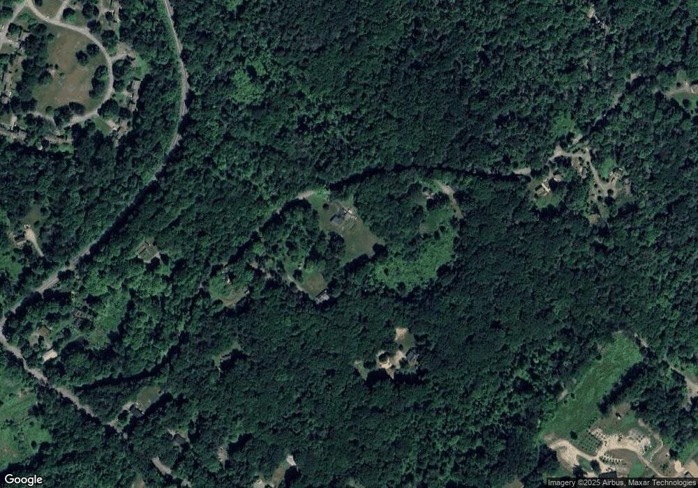
Map
- 433 Kent Cornwall Rd Unit 22
- 321 Kent Cornwall Rd
- 9 Old Paddock Ln
- 22 Old Paddock Ln
- 11 Old Paddock Ln
- 17 Old Homestead Ln
- 0 Stonewall Unit 39
- 178 Carter Rd
- 262 Kent Cornwall Rd
- 0 Mount Mauwee Rd
- 23 Mauwee Brook Rd
- 39 Gorham Rd
- 00 Kent Cornwall Rd
- 0 Gorham Rd Unit 24138133
- 7 Chimney Rock Rd
- 143 Whitcomb Hill Rd
- 308 Skiff Mountain Rd
- 8 Bobcat Ln
- 1 W Woods Rd
- 0 W Woods Rd Unit 2
Ask me questions while you tour the home.