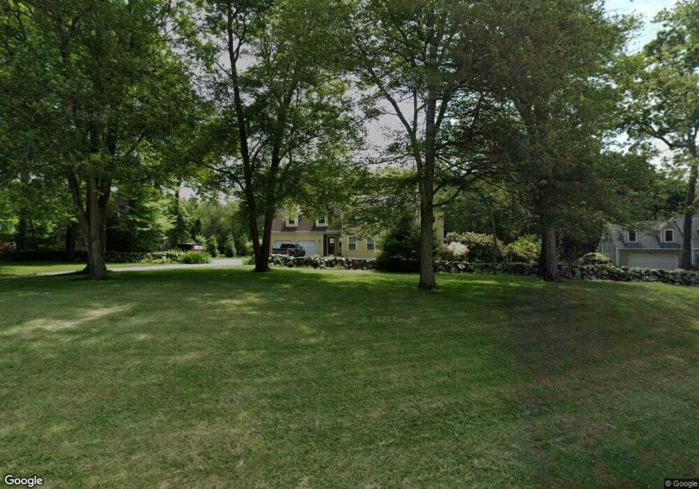
30 Macintosh Ln Saunderstown, RI 02874
Saunderstown NeighborhoodEstimated Value: $743,144 - $1,026,000
4
Beds
2
Baths
2,048
Sq Ft
$431/Sq Ft
Est. Value
About This Home
This home is located at 30 Macintosh Ln, Saunderstown, RI 02874 and is currently estimated at $882,536, approximately $430 per square foot. 30 Macintosh Ln is a home located in Washington County with nearby schools including Stony Lane Elementary School, Wickford Middle School, and North Kingstown Sr. High School.
Ownership History
Date
Name
Owned For
Owner Type
Purchase Details
Closed on
Feb 8, 1994
Sold by
William T Calabro Bldr
Bought by
Kenny John F and Kenny Kathleen
Current Estimated Value
Home Financials for this Owner
Home Financials are based on the most recent Mortgage that was taken out on this home.
Original Mortgage
$140,000
Interest Rate
7.12%
Create a Home Valuation Report for This Property
The Home Valuation Report is an in-depth analysis detailing your home's value as well as a comparison with similar homes in the area
Home Values in the Area
Average Home Value in this Area
Purchase History
| Date | Buyer | Sale Price | Title Company |
|---|---|---|---|
| Kenny John F | $207,000 | -- |
Source: Public Records
Mortgage History
| Date | Status | Borrower | Loan Amount |
|---|---|---|---|
| Open | Kenny John F | $100,000 | |
| Closed | Kenny John F | $140,000 |
Source: Public Records
Tax History
| Year | Tax Paid | Tax Assessment Tax Assessment Total Assessment is a certain percentage of the fair market value that is determined by local assessors to be the total taxable value of land and additions on the property. | Land | Improvement |
|---|---|---|---|---|
| 2025 | $7,571 | $685,800 | $307,700 | $378,100 |
| 2024 | $7,022 | $489,700 | $204,100 | $285,600 |
| 2023 | $7,022 | $489,700 | $204,100 | $285,600 |
| 2022 | $6,885 | $489,700 | $204,100 | $285,600 |
| 2021 | $6,774 | $387,100 | $146,000 | $241,100 |
| 2020 | $6,616 | $387,100 | $146,000 | $241,100 |
| 2019 | $6,616 | $387,100 | $146,000 | $241,100 |
| 2018 | $6,569 | $346,300 | $135,900 | $210,400 |
| 2017 | $6,438 | $346,300 | $135,900 | $210,400 |
| 2016 | $6,254 | $346,300 | $135,900 | $210,400 |
| 2015 | $6,298 | $326,300 | $135,900 | $190,400 |
| 2014 | $3,085 | $326,300 | $135,900 | $190,400 |
Source: Public Records
Map
Nearby Homes
- 604 Stony Fort Rd
- 613 Slocum Rd
- 371 Glen Hill Dr
- 294 Sylvan Ct
- 58 Brigade Dr
- 202 Explorer Dr
- 331 Congdon Hill Rd
- 78 Conservatory Way Unit 78
- 344 Tower Hill Rd
- 95 S Woods Dr
- 71 Woodmist Way
- 155 Beechwood Hill Trail
- 115 Cardinal Dr
- 65 Village Hill Ln
- 299 W Allenton Rd
- 1729 South Rd Unit C
- 1724 South Rd
- 8 Sweet Fern Trail
- 416 Bridgetown Rd
- 106 Pettaquamscutt Lake Rd
- 10 Macintosh Ln
- 42 Macintosh Ln
- 21 Macintosh Ln
- 35 Macintosh Ln
- 58 Candy Apple Ln
- 53 Macintosh Ln
- 43 Macintosh Ln
- 37 Candy Apple Ln
- 80 Candy Apple Ln
- 49 Candy Apple Ln
- 61 Candy Apple Ln
- 20 Pamela Ct
- 75 Candy Apple Ln
- 0 Candy Apple Ln
- 42 Pamela Ct
- 23 Pamela Ct
- 13 Pamela Ct
- 54 Pamela Ct
- 1107 Shermantown Rd
- 51 Pamela Ct
Your Personal Tour Guide
Ask me questions while you tour the home.