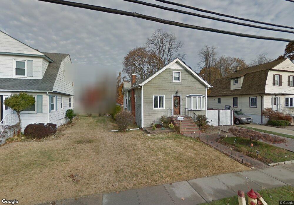
30 Morris St Freeport, NY 11520
Estimated Value: $549,342 - $718,000
Studio
2
Baths
1,623
Sq Ft
$390/Sq Ft
Est. Value
About This Home
This home is located at 30 Morris St, Freeport, NY 11520 and is currently estimated at $633,671, approximately $390 per square foot. 30 Morris St is a home located in Nassau County with nearby schools including Columbus Avenue School, Caroline G. Atkinson Intermediate School, and John W Dodd Middle School.
Ownership History
Date
Name
Owned For
Owner Type
Purchase Details
Closed on
Dec 6, 1999
Sold by
Lawrence Fred R and Soukup Rita L
Bought by
Urena Efrain J and Urena Maria F
Current Estimated Value
Home Financials for this Owner
Home Financials are based on the most recent Mortgage that was taken out on this home.
Original Mortgage
$163,600
Outstanding Balance
$51,021
Interest Rate
7.81%
Mortgage Type
Purchase Money Mortgage
Estimated Equity
$582,650
Purchase Details
Closed on
Nov 2, 1995
Sold by
Lopez Fred and Lopez Rita
Bought by
Lawrence Fred and Soukup Rita
Create a Home Valuation Report for This Property
The Home Valuation Report is an in-depth analysis detailing your home's value as well as a comparison with similar homes in the area
Home Values in the Area
Average Home Value in this Area
Purchase History
We collect this data history from publicly available records. To have your information removed, we recommend requesting removal directly through your county’s website.
| Date | Buyer | Sale Price | Title Company |
|---|---|---|---|
| Urena Efrain J | $165,000 | Fidelity National Title Ins | |
| Lawrence Fred | -- | -- |
Source: Public Records
Mortgage History
We collect this data history from publicly available records. To have your information removed, we recommend requesting removal directly through your county’s website.
| Date | Status | Borrower | Loan Amount |
|---|---|---|---|
| Open | Urena Efrain J | $163,600 |
Source: Public Records
Tax History
| Year | Tax Paid | Tax Assessment Tax Assessment Total Assessment is a certain percentage of the fair market value that is determined by local assessors to be the total taxable value of land and additions on the property. | Land | Improvement |
|---|---|---|---|---|
| 2025 | $7,448 | $387 | $135 | $252 |
| 2024 | $841 | $381 | $133 | $248 |
| 2023 | $7,393 | $405 | $142 | $263 |
| 2022 | $7,393 | $397 | $139 | $258 |
| 2021 | $10,628 | $399 | $140 | $259 |
| 2020 | $7,990 | $600 | $392 | $208 |
| 2019 | $7,491 | $600 | $392 | $208 |
| 2018 | $7,251 | $600 | $0 | $0 |
| 2017 | $5,821 | $600 | $333 | $267 |
| 2016 | $6,721 | $600 | $333 | $267 |
| 2015 | $1,020 | $706 | $392 | $314 |
| 2014 | $1,020 | $706 | $392 | $314 |
| 2013 | $964 | $706 | $392 | $314 |
Source: Public Records
Map
Nearby Homes
- 320 S Bayview Ave
- 158 Roosevelt Ave
- 311 Locust Ave
- 403 S Bayview Ave
- 135 Whaley St
- 119 S Bay Ave
- 170 Cedar St
- 173 Cedar St
- 128 Cedar St
- 306 Park Ave
- 463 S Bayview Ave
- 6 Elliott Place
- 149 S Bay Ave
- 62 Westend Ave
- 254 Park Ave
- 185 Southside Ave
- 36 Casino St
- 222 Smith St Unit 4F
- 222 Smith St Unit 2E
- 222 Smith St Unit 3C
Your Personal Tour Guide
Ask me questions while you tour the home.