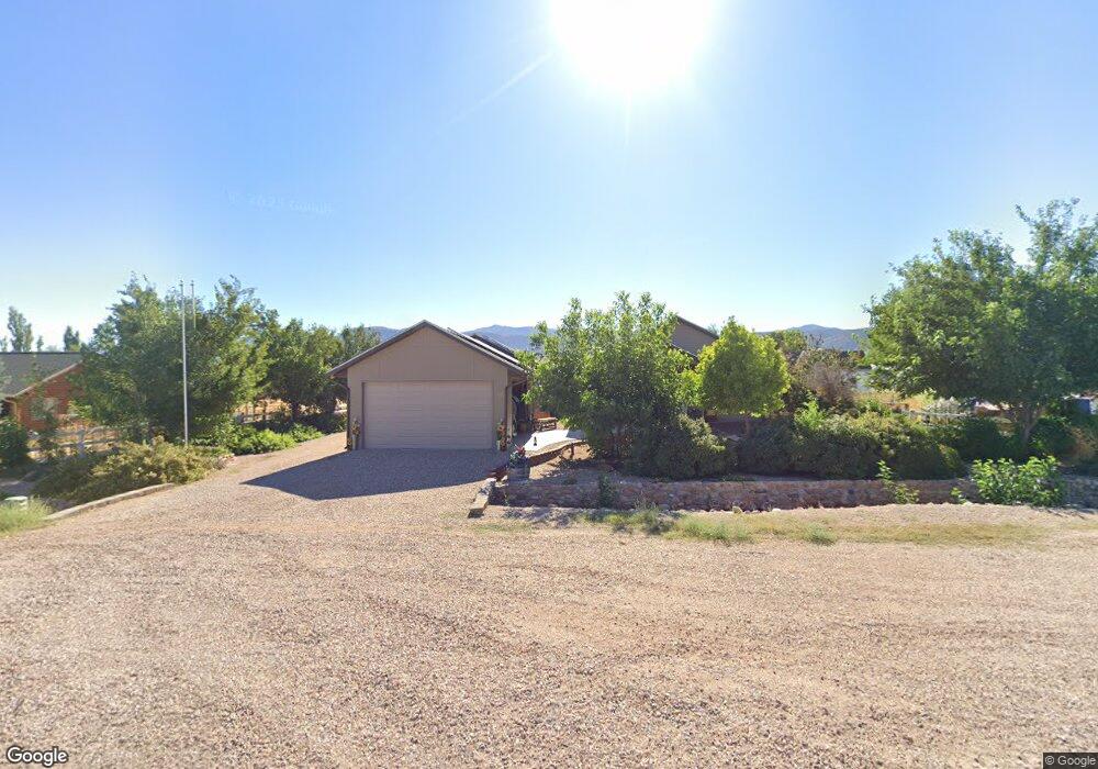
30 N 100 E Kanosh, UT 84637
Estimated Value: $425,000 - $549,000
1
Bed
1
Bath
1,113
Sq Ft
$438/Sq Ft
Est. Value
About This Home
This home is located at 30 N 100 E, Kanosh, UT 84637 and is currently estimated at $487,000, approximately $437 per square foot. 30 N 100 E is a home located in Millard County.
Ownership History
Date
Name
Owned For
Owner Type
Purchase Details
Closed on
Jun 7, 2013
Sold by
Allred Paul Watts and Allred Mary Jean
Bought by
Allred Paul Watts and Allred Mary Jean
Current Estimated Value
Home Financials for this Owner
Home Financials are based on the most recent Mortgage that was taken out on this home.
Original Mortgage
$72,000
Outstanding Balance
$50,614
Interest Rate
3.38%
Mortgage Type
VA
Estimated Equity
$436,386
Create a Home Valuation Report for This Property
The Home Valuation Report is an in-depth analysis detailing your home's value as well as a comparison with similar homes in the area
Purchase History
| Date | Buyer | Sale Price | Title Company |
|---|---|---|---|
| Allred Paul Watts | -- | -- | |
| Allred Paul Watts | -- | -- |
Source: Public Records
Mortgage History
| Date | Status | Borrower | Loan Amount |
|---|---|---|---|
| Open | Allred Paul Watts | $72,000 | |
| Closed | Allred Paul Watts | $72,000 |
Source: Public Records
Tax History
| Year | Tax Paid | Tax Assessment Tax Assessment Total Assessment is a certain percentage of the fair market value that is determined by local assessors to be the total taxable value of land and additions on the property. | Land | Improvement |
|---|---|---|---|---|
| 2025 | $2,608 | $341,596 | $29,700 | $311,896 |
| 2024 | $2,608 | $361,312 | $15,642 | $345,670 |
| 2023 | $3,132 | $361,312 | $15,642 | $345,670 |
| 2022 | $2,026 | $190,343 | $12,514 | $177,829 |
| 2021 | $1,892 | $171,445 | $10,881 | $160,564 |
| 2020 | $1,635 | $149,595 | $9,892 | $139,703 |
| 2019 | $1,397 | $128,516 | $9,075 | $119,441 |
| 2018 | $1,962 | $184,896 | $15,000 | $169,896 |
| 2017 | $2,051 | $184,896 | $15,000 | $169,896 |
| 2016 | $1,421 | $133,669 | $11,250 | $122,419 |
| 2015 | $600 | $56,369 | $6,188 | $50,181 |
| 2014 | -- | $49,810 | $6,188 | $43,622 |
| 2013 | -- | $37,003 | $6,188 | $30,815 |
Source: Public Records
Map
Nearby Homes
- 115 W 200 S
- 58 E 300 South St
- 135 E 200 N
- 0 County Road 4616
- Parcel # 8816
- 145 N 200 E
- 80 W 470 N
- 50 N 100 Rd E
- 479 E 100 N
- 1565 W Sunflower Ln Unit 3
- 1615 W Sunflower Ln
- 1615 W Sunflower Ln Unit 4
- 1565 W Sunflower Ln
- 0 Tbd Black Rock Rd Unit LotWP001
- 2000 N West Frontage I-15
- 1100 S 725 Rd W
- 310 S 500 West Rd
- 465 S 100 W
- 760 E 700 St S
- 155 E 500 St S
Your Personal Tour Guide
Ask me questions while you tour the home.