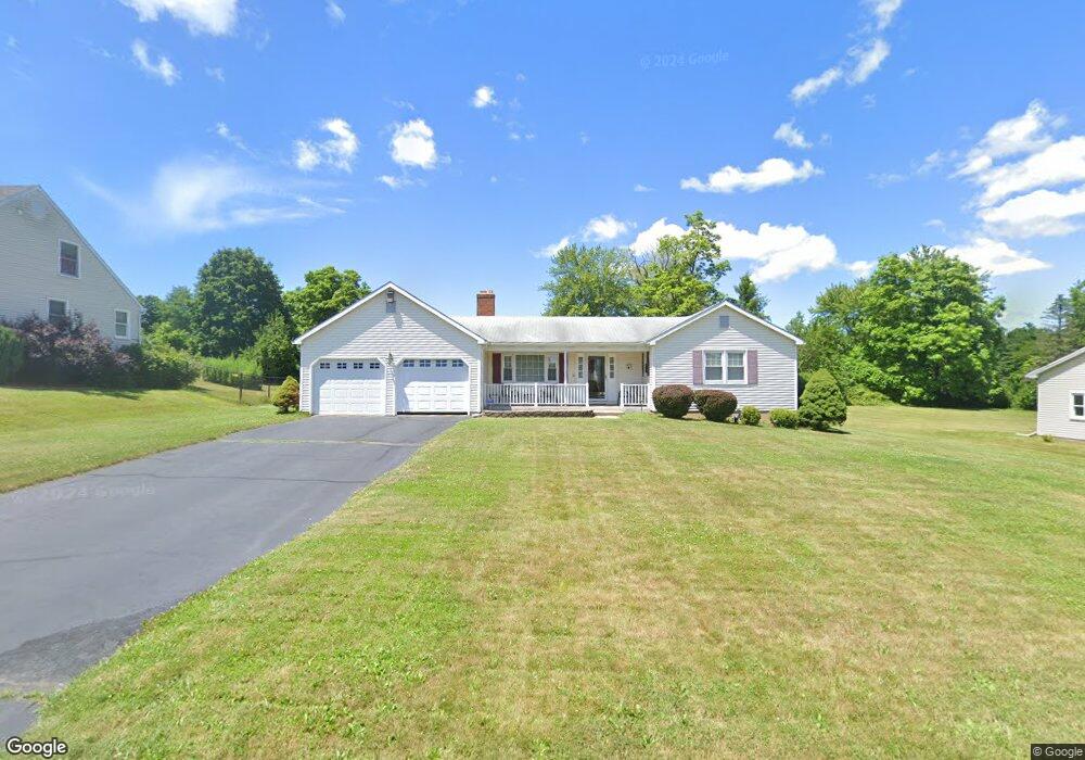
30 Sawka Cir Windsor, CT 06095
West Windsor NeighborhoodEstimated Value: $345,000 - $376,000
2
Beds
2
Baths
1,368
Sq Ft
$263/Sq Ft
Est. Value
About This Home
This home is located at 30 Sawka Cir, Windsor, CT 06095 and is currently estimated at $359,656, approximately $262 per square foot. 30 Sawka Cir is a home located in Hartford County with nearby schools including Oliver Ellsworth School, John F. Kennedy School, and Sage Park Middle School.
Ownership History
Date
Name
Owned For
Owner Type
Purchase Details
Closed on
Jul 8, 1998
Sold by
Evans Peter
Bought by
Evans Wayne and Evans Gail
Current Estimated Value
Create a Home Valuation Report for This Property
The Home Valuation Report is an in-depth analysis detailing your home's value as well as a comparison with similar homes in the area
Home Values in the Area
Average Home Value in this Area
Purchase History
We collect this data history from publicly available records. To have your information removed, we recommend requesting removal directly through your county’s website.
| Date | Buyer | Sale Price | Title Company |
|---|---|---|---|
| Evans Wayne | $114,000 | -- |
Source: Public Records
Mortgage History
We collect this data history from publicly available records. To have your information removed, we recommend requesting removal directly through your county’s website.
| Date | Status | Borrower | Loan Amount |
|---|---|---|---|
| Open | Evans Wayne | $53,000 | |
| Closed | Evans Wayne | $38,000 | |
| Closed | Evans Wayne | $33,495 |
Source: Public Records
Tax History
| Year | Tax Paid | Tax Assessment Tax Assessment Total Assessment is a certain percentage of the fair market value that is determined by local assessors to be the total taxable value of land and additions on the property. | Land | Improvement |
|---|---|---|---|---|
| 2025 | $5,749 | $202,090 | $66,220 | $135,870 |
| 2024 | $6,127 | $202,090 | $66,220 | $135,870 |
| 2023 | $4,930 | $146,720 | $52,500 | $94,220 |
| 2022 | $4,881 | $146,720 | $52,500 | $94,220 |
| 2021 | $4,881 | $146,720 | $52,500 | $94,220 |
| 2020 | $4,858 | $146,720 | $52,500 | $94,220 |
| 2019 | $4,751 | $146,720 | $52,500 | $94,220 |
| 2018 | $4,564 | $138,460 | $52,500 | $85,960 |
| 2017 | $4,493 | $138,460 | $52,500 | $85,960 |
| 2016 | $4,364 | $138,460 | $52,500 | $85,960 |
| 2015 | $4,281 | $138,460 | $52,500 | $85,960 |
| 2014 | $4,219 | $138,460 | $52,500 | $85,960 |
Source: Public Records
Map
Nearby Homes
- 1221 Poquonock Ave
- 268 High Path Rd Unit 268
- 158 High Path Rd
- 914 High Path Rd
- 1 Deanne Lynn Cir
- 943 High Path Rd Unit 943
- 98 High Path Rd
- 10 Faldu Rd
- 6 Faldu Rd
- 490 Old Day Hill Rd
- 105 Sunrise Cir
- 153 Brighton Cir
- 5 Haskins Rd Unit 5
- 246 Kenswick Ln Unit 246
- 63 Pond Rd
- 18 Last Leaf Cir
- 10 Cleary Ln
- 14 Hampden Place
- 32 Rhodora Terrace
- 35 Hollow Brook Rd
Your Personal Tour Guide
Ask me questions while you tour the home.