30 Sunset Rock Rd North Andover, MA 01845
Estimated Value: $1,383,826 - $1,540,000
About This Home
This home is located at 30 Sunset Rock Rd, North Andover, MA 01845 and is currently estimated at $1,460,457, approximately $382 per square foot. 30 Sunset Rock Rd is a home located in Essex County with nearby schools including Annie L Sargent Elementary School, North Andover Middle School, and North Andover High School.
Ownership History
We collect this data history from publicly available records. To have your information removed, we recommend requesting removal directly through your county’s website.
Purchase Details
Home Financials for this Owner
Home Financials are based on the most recent Mortgage that was taken out on this home.Home Values in the Area
Average Home Value in this Area
Purchase History
We collect this data history from publicly available records. To have your information removed, we recommend requesting removal directly through your county’s website.
| Date | Buyer | Sale Price | Title Company |
|---|---|---|---|
| $815,000 | -- |
Mortgage History
We collect this data history from publicly available records. To have your information removed, we recommend requesting removal directly through your county’s website.
| Date | Status | Borrower | Loan Amount |
|---|---|---|---|
| Open | $413,000 | ||
| Closed | $550,000 | ||
| Previous Owner | $940,000 |
Tax History
We collect this data history from publicly available records. To have your information removed, we recommend requesting removal directly through your county’s website.
| Year | Tax Paid | Tax Assessment Tax Assessment Total Assessment is a certain percentage of the fair market value that is determined by local assessors to be the total taxable value of land and additions on the property. | Land | Improvement |
|---|---|---|---|---|
| 2025 | $14,423 | $1,280,900 | $443,000 | $837,900 |
| 2024 | $13,736 | $1,238,600 | $421,200 | $817,400 |
| 2023 | $12,874 | $1,051,800 | $337,300 | $714,500 |
| 2022 | $12,327 | $911,100 | $293,700 | $617,400 |
| 2021 | $11,870 | $837,700 | $267,600 | $570,100 |
| 2020 | $11,419 | $831,100 | $261,000 | $570,100 |
| 2019 | $11,145 | $831,100 | $261,000 | $570,100 |
| 2018 | $10,929 | $752,200 | $261,000 | $491,200 |
| 2017 | $11,724 | $821,000 | $235,600 | $585,400 |
| 2016 | $11,084 | $776,700 | $239,900 | $536,800 |
| 2015 | $10,978 | $762,900 | $224,400 | $538,500 |
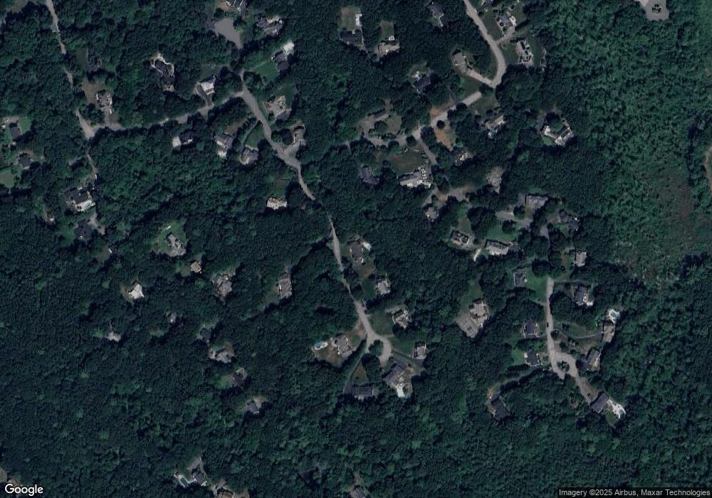
Map
- 94 Boxford St
- 72 Sterling Ln
- 193 Lacy St
- 105 Weyland Cir
- 135 Raleigh Tavern Ln
- 13 Laconia Cir
- 18 Equestrian Dr
- 770 Boxford St
- 71 Regency Place
- 6 Foster St
- 17 Hepatica Dr
- 115 Webster Woods Ln
- 33 Nutmeg Ln
- 66 Compass Point Unit 66
- 23 Palomino Dr
- 14 Puritan Ave
- 33 Coventry Ln
- 82 Ingalls Village Way Unit 82
- 445 Salem St
- 9 Towne Rd
- 48 Sunset Rock Rd
- 292 Candlestick Rd
- 17 Sugarcane Ln
- 25 Sunset Rock Rd
- 280 Candlestick Rd
- 60 Sunset Rock Rd
- 60 Sunset Rock Rd
- 31 Sugarcane Ln
- 316 Candlestick Rd
- 226 Forest St
- 59 Sunset Rock Rd
- 66 Sunset Rock Rd
- 230 Forest St
- 326 Candlestick Rd
- 77 Sugarcane Ln
- 67 Sunset Rock Rd
- 285 Candlestick Rd
- 45 Sugarcane Ln
- 72 Sunset Rock Rd
- 260 Candlestick Rd
Ask me questions while you tour the home.