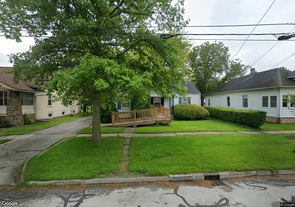
300 Clinton St Elmore, OH 43416
Estimated Value: $174,000 - $204,000
3
Beds
2
Baths
1,341
Sq Ft
$137/Sq Ft
Est. Value
About This Home
This home is located at 300 Clinton St, Elmore, OH 43416 and is currently estimated at $184,075, approximately $137 per square foot. 300 Clinton St is a home located in Ottawa County with nearby schools including Woodmore Elementary School, Woodmore Middle School, and Woodmore High School.
Ownership History
Date
Name
Owned For
Owner Type
Purchase Details
Closed on
Dec 8, 2022
Sold by
Bundy William N and Bundy Leslee G
Bought by
William N Bundy And Leslee G Bundy Trust
Current Estimated Value
Purchase Details
Closed on
Nov 12, 1992
Sold by
Dolph Alice M
Bought by
Dolph Leslee G
Create a Home Valuation Report for This Property
The Home Valuation Report is an in-depth analysis detailing your home's value as well as a comparison with similar homes in the area
Home Values in the Area
Average Home Value in this Area
Purchase History
| Date | Buyer | Sale Price | Title Company |
|---|---|---|---|
| William N Bundy And Leslee G Bundy Trust | -- | -- | |
| Dolph Leslee G | $60,000 | -- |
Source: Public Records
Tax History
| Year | Tax Paid | Tax Assessment Tax Assessment Total Assessment is a certain percentage of the fair market value that is determined by local assessors to be the total taxable value of land and additions on the property. | Land | Improvement |
|---|---|---|---|---|
| 2024 | $2,738 | $49,917 | $16,121 | $33,796 |
| 2023 | $2,730 | $41,693 | $11,939 | $29,754 |
| 2022 | $2,384 | $41,693 | $11,939 | $29,754 |
| 2021 | $2,401 | $41,690 | $11,940 | $29,750 |
| 2020 | $2,259 | $37,180 | $11,940 | $25,240 |
| 2019 | $2,229 | $37,180 | $11,940 | $25,240 |
| 2018 | $2,203 | $37,180 | $11,940 | $25,240 |
| 2017 | $2,137 | $35,830 | $11,940 | $23,890 |
| 2016 | $2,090 | $35,830 | $11,940 | $23,890 |
| 2015 | $2,222 | $35,830 | $11,940 | $23,890 |
| 2014 | $1,102 | $34,530 | $11,940 | $22,590 |
| 2013 | $2,210 | $34,530 | $11,940 | $22,590 |
Source: Public Records
Map
Nearby Homes
- 348 E 4th St
- 159 Smith St
- 504 Rice St
- 19079 W Orchard Dr
- 0 W Portage River Rd S Unit 6130453
- 17151 W State Route 105
- 1001 Oak St
- 620 Water St
- 2574 County Road 74
- 1005 W College Ave
- 304 Main St
- 108 W 8th St
- 904 Main St
- 207 E 11th St
- 21682 State Route 51 W
- 915 Buckeye St
- 1216 Main St
- 416 Castle Cove
- 1861 N Opfer-Lentz Rd
- 1309 Superior St
Your Personal Tour Guide
Ask me questions while you tour the home.