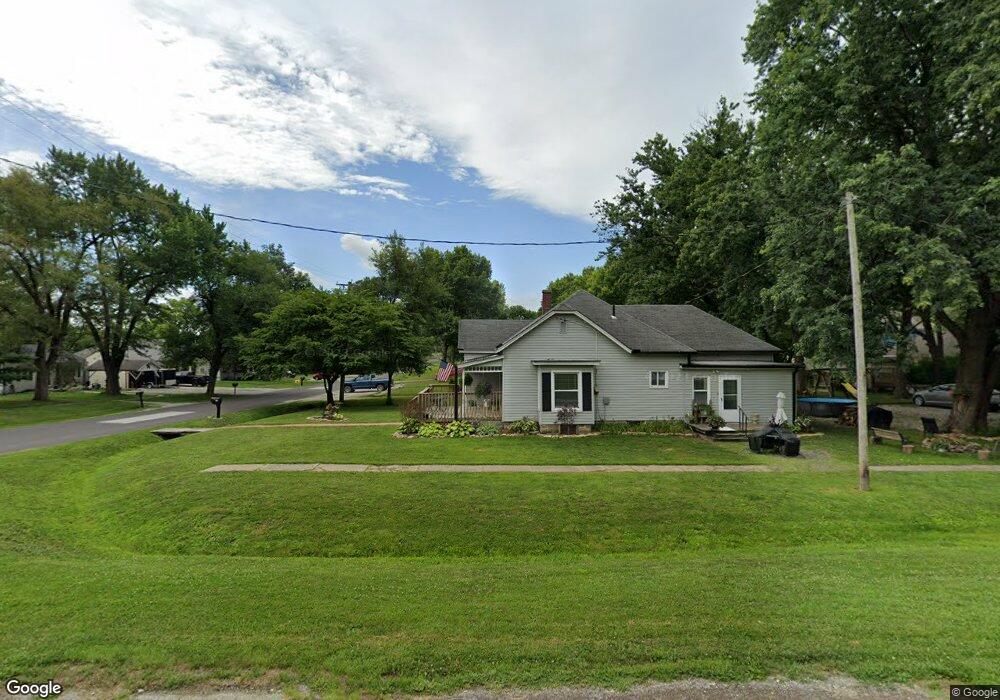
300 Maple St Lathrop, MO 64465
Estimated Value: $179,330 - $277,000
3
Beds
1
Bath
1,145
Sq Ft
$192/Sq Ft
Est. Value
About This Home
This home is located at 300 Maple St, Lathrop, MO 64465 and is currently estimated at $219,333, approximately $191 per square foot. 300 Maple St is a home located in Clinton County with nearby schools including Lathrop Elementary School, Lathrop Middle School, and Lathrop High School.
Ownership History
Date
Name
Owned For
Owner Type
Purchase Details
Closed on
Feb 13, 2025
Sold by
Morgan Darrell and Morgan Ladonna V
Bought by
Mcneely Family Properties Llc
Current Estimated Value
Home Financials for this Owner
Home Financials are based on the most recent Mortgage that was taken out on this home.
Original Mortgage
$160,000
Outstanding Balance
$158,503
Interest Rate
6.96%
Mortgage Type
New Conventional
Estimated Equity
$60,830
Purchase Details
Closed on
Aug 1, 1998
Bought by
Macewen David W and Macewen Tracy L
Create a Home Valuation Report for This Property
The Home Valuation Report is an in-depth analysis detailing your home's value as well as a comparison with similar homes in the area
Home Values in the Area
Average Home Value in this Area
Purchase History
| Date | Buyer | Sale Price | Title Company |
|---|---|---|---|
| Mcneely Family Properties Llc | -- | Stewart Title | |
| Macewen David W | -- | -- |
Source: Public Records
Mortgage History
| Date | Status | Borrower | Loan Amount |
|---|---|---|---|
| Open | Mcneely Family Properties Llc | $160,000 |
Source: Public Records
Tax History
| Year | Tax Paid | Tax Assessment Tax Assessment Total Assessment is a certain percentage of the fair market value that is determined by local assessors to be the total taxable value of land and additions on the property. | Land | Improvement |
|---|---|---|---|---|
| 2025 | $1,238 | $15,318 | $4,427 | $10,891 |
| 2024 | $1,238 | $13,677 | $3,952 | $9,725 |
| 2023 | $1,131 | $13,677 | $3,952 | $9,725 |
| 2022 | $1,043 | $12,793 | $3,952 | $8,841 |
| 2021 | $1,019 | $12,793 | $3,952 | $8,841 |
| 2020 | $972 | $11,630 | $3,593 | $8,037 |
| 2019 | $802 | $9,709 | $1,672 | $8,037 |
| 2018 | $795 | $9,709 | $1,672 | $8,037 |
| 2017 | $801 | $9,709 | $1,672 | $8,037 |
| 2016 | $814 | $9,709 | $1,672 | $8,037 |
| 2013 | -- | $9,710 | $0 | $0 |
Source: Public Records
Map
Nearby Homes
- 301 Plattsburg St
- 203 Valley St
- 304 Pine St
- 00 Missouri 116
- 001 Missouri 116
- 000 Missouri 116
- Tract 2A NE Stonum Rd
- 25 NE Stonum Rd
- 3602 SE 228th St
- 0 NE Stonum Rd
- Lot 4 NE 280th St
- Lot 6 NE 280th St
- Lot 5 NE 280th St
- Lot 3 NE 280th St
- Lot 1 NE 280th St
- 5199 SE Fox Run Rd
- 3479 NE Dixon Rd
- 5650 SE West Hwy
- 1143 NE Highway 69 N A
- 1393 NE 288th St
Your Personal Tour Guide
Ask me questions while you tour the home.