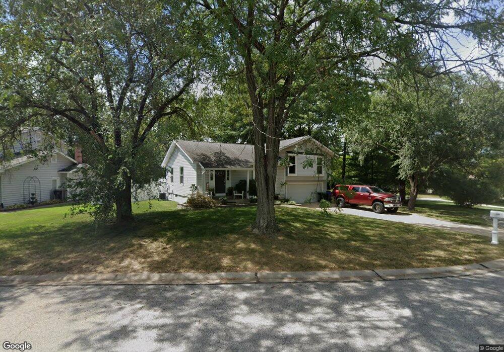
300 Morningside Dr Saint Peters, MO 63376
Estimated Value: $313,000 - $335,000
3
Beds
2
Baths
1,404
Sq Ft
$231/Sq Ft
Est. Value
About This Home
This home is located at 300 Morningside Dr, Saint Peters, MO 63376 and is currently estimated at $323,946, approximately $230 per square foot. 300 Morningside Dr is a home located in St. Charles County with nearby schools including Fairmount Elementary School, Saeger Middle School, and Francis Howell Central High School.
Ownership History
Date
Name
Owned For
Owner Type
Purchase Details
Closed on
Aug 11, 2006
Sold by
Disser Mark E and Disser Ann C
Bought by
Serino Joseph and Serino Kristie M
Current Estimated Value
Home Financials for this Owner
Home Financials are based on the most recent Mortgage that was taken out on this home.
Original Mortgage
$129,600
Outstanding Balance
$77,852
Interest Rate
6.77%
Mortgage Type
New Conventional
Estimated Equity
$246,094
Purchase Details
Closed on
May 24, 2001
Sold by
Disser Mark E
Bought by
Disser Mark E and Disser Ann C
Create a Home Valuation Report for This Property
The Home Valuation Report is an in-depth analysis detailing your home's value as well as a comparison with similar homes in the area
Home Values in the Area
Average Home Value in this Area
Purchase History
| Date | Buyer | Sale Price | Title Company |
|---|---|---|---|
| Serino Joseph | $162,000 | Atc | |
| Disser Mark E | -- | -- |
Source: Public Records
Mortgage History
| Date | Status | Borrower | Loan Amount |
|---|---|---|---|
| Open | Serino Joseph | $129,600 |
Source: Public Records
Tax History
| Year | Tax Paid | Tax Assessment Tax Assessment Total Assessment is a certain percentage of the fair market value that is determined by local assessors to be the total taxable value of land and additions on the property. | Land | Improvement |
|---|---|---|---|---|
| 2025 | $3,306 | $52,546 | -- | -- |
| 2023 | $3,302 | $47,251 | $0 | $0 |
| 2022 | $2,818 | $37,591 | $0 | $0 |
| 2021 | $2,813 | $37,591 | $0 | $0 |
| 2020 | $2,739 | $35,771 | $0 | $0 |
| 2019 | $2,730 | $35,771 | $0 | $0 |
| 2018 | $2,439 | $30,595 | $0 | $0 |
| 2017 | $2,427 | $30,595 | $0 | $0 |
| 2016 | $2,267 | $28,617 | $0 | $0 |
| 2015 | $2,263 | $28,617 | $0 | $0 |
| 2014 | $2,021 | $24,796 | $0 | $0 |
Source: Public Records
Map
Nearby Homes
- 27 Glenna Dr
- 208 Candice Way
- 210 Candice Way
- 213 Candice Way
- 116 Willott Square Dr
- 424 Morningside Dr
- 1211 Cashmere Ln
- 12 Brooker Ct
- 978 Windstream Dr Unit 39
- 105 Jane Dr
- 1232 Cashmere Ln
- 47 Julie Ln
- 547 Ryehill Dr
- 563 Ryehill Dr
- 1108 Mendoza Dr
- 537 Ryehill Dr
- 1316 Whispering Ridge Ln
- 525 Ryehill Dr
- 1 Brookmont @ Ryehill Manor
- 914 Blake Ct
- 302 Morningside Dr
- 202 Westminster Dr
- 304 Morningside Dr
- 205 Westminster Dr
- 301 Morningside Dr
- 306 Morningside Dr
- 303 Morningside Dr
- 207 Westminster Dr
- 0TBB Arden Forest-Westminster
- 208 Westminster Dr
- 305 Morningside Dr
- 4 Parliament Square
- 6 Parliament Square
- 4 Strafford Dr
- 210 Westminster Dr
- 308 Morningside Dr
- 307 Morningside Dr
- 8 Parliament Square
- 6 Strafford Dr
- 304 Kimberly Ln
Your Personal Tour Guide
Ask me questions while you tour the home.