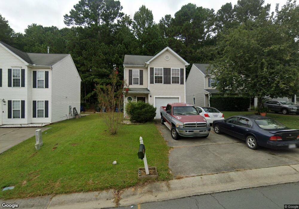
3003 Forrestal Dr Durham, NC 27703
Eastern Durham NeighborhoodEstimated Value: $286,000 - $302,000
3
Beds
3
Baths
1,296
Sq Ft
$225/Sq Ft
Est. Value
About This Home
This home is located at 3003 Forrestal Dr, Durham, NC 27703 and is currently estimated at $291,772, approximately $225 per square foot. 3003 Forrestal Dr is a home located in Durham County with nearby schools including Bethesda Elementary School, John W Neal Middle School, and Southern School of Energy & Sustainability.
Ownership History
Date
Name
Owned For
Owner Type
Purchase Details
Closed on
Oct 19, 2017
Sold by
Thornton Michael E and Thornton Jessica O
Bought by
Arenivar Mariano De Jesus
Current Estimated Value
Home Financials for this Owner
Home Financials are based on the most recent Mortgage that was taken out on this home.
Original Mortgage
$149,380
Outstanding Balance
$124,640
Interest Rate
3.78%
Mortgage Type
New Conventional
Estimated Equity
$167,132
Purchase Details
Closed on
Aug 15, 2003
Sold by
Anderson Homes Inc
Bought by
Thornton Michael
Home Financials for this Owner
Home Financials are based on the most recent Mortgage that was taken out on this home.
Original Mortgage
$119,567
Interest Rate
5.42%
Mortgage Type
Purchase Money Mortgage
Create a Home Valuation Report for This Property
The Home Valuation Report is an in-depth analysis detailing your home's value as well as a comparison with similar homes in the area
Home Values in the Area
Average Home Value in this Area
Purchase History
We collect this data history from publicly available records. To have your information removed, we recommend requesting removal directly through your county’s website.
| Date | Buyer | Sale Price | Title Company |
|---|---|---|---|
| Arenivar Mariano De Jesus | $154,000 | None Available | |
| Thornton Michael | $121,000 | -- |
Source: Public Records
Mortgage History
We collect this data history from publicly available records. To have your information removed, we recommend requesting removal directly through your county’s website.
| Date | Status | Borrower | Loan Amount |
|---|---|---|---|
| Open | Arenivar Mariano De Jesus | $149,380 | |
| Previous Owner | Thornton Michael | $119,567 |
Source: Public Records
Tax History
| Year | Tax Paid | Tax Assessment Tax Assessment Total Assessment is a certain percentage of the fair market value that is determined by local assessors to be the total taxable value of land and additions on the property. | Land | Improvement |
|---|---|---|---|---|
| 2025 | $2,881 | $290,618 | $80,500 | $210,118 |
| 2024 | $2,138 | $153,295 | $42,937 | $110,358 |
| 2023 | $2,008 | $153,295 | $42,937 | $110,358 |
| 2022 | $1,962 | $153,295 | $42,937 | $110,358 |
| 2021 | $1,953 | $153,295 | $42,937 | $110,358 |
| 2020 | $1,907 | $153,295 | $42,937 | $110,358 |
| 2019 | $1,907 | $153,295 | $42,937 | $110,358 |
| 2018 | $1,731 | $127,602 | $25,762 | $101,840 |
| 2017 | $1,718 | $127,602 | $25,762 | $101,840 |
| 2016 | $1,660 | $127,602 | $25,762 | $101,840 |
| 2015 | $1,844 | $133,218 | $33,254 | $99,964 |
| 2014 | $1,844 | $133,218 | $33,254 | $99,964 |
Source: Public Records
Map
Nearby Homes
- 3120 Gibson Rd
- 3230 Ivey Wood Ln
- 3117 Ivey Wood Ln
- 3340 Ivey Wood Ln
- 426 Saint John Dr
- 1316 Kendall Dr
- 806 Kendall Dr Unit 502
- 3311 Nantuckett Ave
- 2921 Carolyn Dr
- 1225 Lynn Rd
- 426 Walton St
- 509 Walton St
- 404 Lynn Rd
- 3607 Gibson Rd
- 204 Cushman St
- 3193 Delmar Dr
- 3195 Delmar Dr
- 1043 Spacious Skies Ln
- 3201 Delmar Dr
- 3203 Delmar Dr
- 3001 Forrestal Dr
- 3005 Forrestal Dr
- 3007 Forrestal Dr
- 2927 Forrestal Dr
- 3009 Forrestal Dr
- 3006 Forrestal Dr
- 3002 Forrestal Dr
- 2925 Forrestal Dr
- 7 Kitty Hawk Ct
- 2924 Forrestal Dr
- 3010 Forrestal Dr
- 5 Kitty Hawk Ct
- 9 Kitty Hawk Ct
- 2923 Forrestal Dr
- 1006 Stennis Way
- 905 Lynn Rd
- 2922 Forrestal Dr
- 1004 Stennis Way
- 1 Intrepid Ct
- 3 Intrepid Ct
Your Personal Tour Guide
Ask me questions while you tour the home.