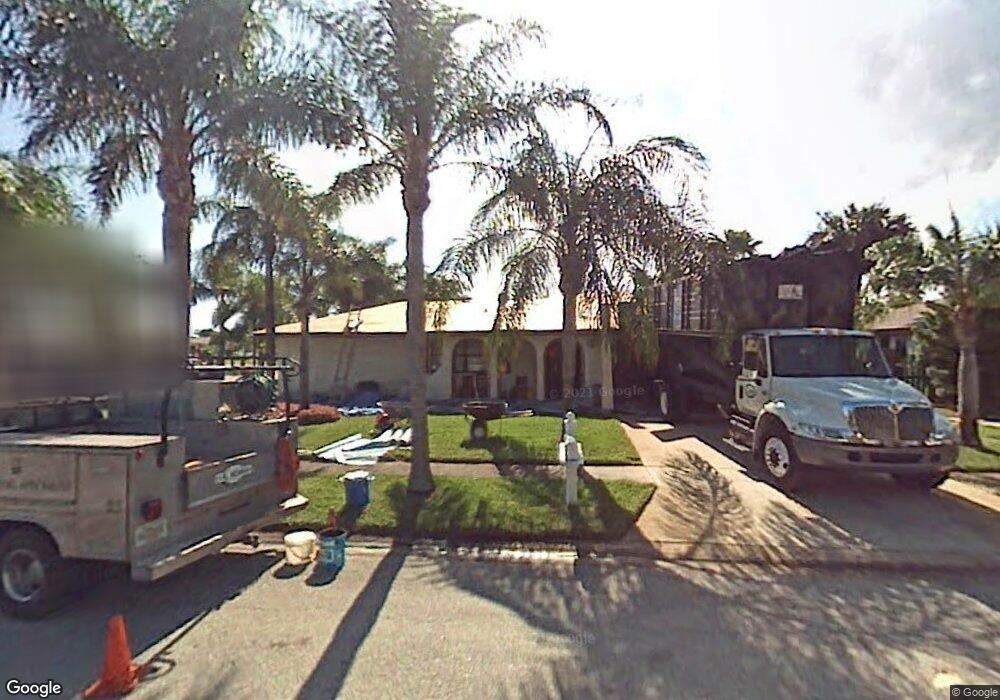
301 Maple Dr Satellite Beach, FL 32937
Estimated Value: $560,000 - $615,000
About This Home
This home is located at 301 Maple Dr, Satellite Beach, FL 32937 and is currently estimated at $585,087, approximately $318 per square foot. 301 Maple Dr is a home located in Brevard County with nearby schools including Surfside Elementary School, Satellite Senior High School, and DeLaura Middle School.
Ownership History
We collect this data history from publicly available records. To have your information removed, we recommend requesting removal directly through your county’s website.
Purchase Details
Purchase Details
Home Financials for this Owner
Home Financials are based on the most recent Mortgage that was taken out on this home.Home Values in the Area
Average Home Value in this Area
Purchase History
We collect this data history from publicly available records. To have your information removed, we recommend requesting removal directly through your county’s website.
| Date | Buyer | Sale Price | Title Company |
|---|---|---|---|
| -- | Attorney | ||
| $130,000 | -- |
Mortgage History
We collect this data history from publicly available records. To have your information removed, we recommend requesting removal directly through your county’s website.
| Date | Status | Borrower | Loan Amount |
|---|---|---|---|
| Previous Owner | $123,500 |
Tax History
We collect this data history from publicly available records. To have your information removed, we recommend requesting removal directly through your county’s website.
| Year | Tax Paid | Tax Assessment Tax Assessment Total Assessment is a certain percentage of the fair market value that is determined by local assessors to be the total taxable value of land and additions on the property. | Land | Improvement |
|---|---|---|---|---|
| 2025 | $2,695 | $179,710 | -- | -- |
| 2024 | $2,649 | $174,650 | -- | -- |
| 2023 | $2,649 | $169,570 | $0 | $0 |
| 2022 | $2,478 | $164,640 | $0 | $0 |
| 2021 | $2,547 | $159,850 | $0 | $0 |
| 2020 | $2,537 | $157,650 | $0 | $0 |
| 2019 | $2,517 | $154,110 | $0 | $0 |
| 2018 | $2,516 | $151,240 | $0 | $0 |
| 2017 | $2,349 | $148,130 | $0 | $0 |
| 2016 | $2,354 | $145,090 | $85,000 | $60,090 |
| 2015 | $2,410 | $144,090 | $75,000 | $69,090 |
| 2014 | $2,412 | $142,950 | $70,000 | $72,950 |
Map
- 480 Temple St
- 290 Carissa Dr
- 429 Saint Johns Dr
- 366 Ocean Spray Ave
- 170 Maple Dr
- 0000 Cassia Blvd
- 229 Kings Way
- 148 Skyline Blvd
- 515 Royal Palm Blvd
- 482 Saint Johns Dr
- 475 Kingston Rd
- 542 Coconut St
- 400 Maria Dr
- 276 Lynn Ave
- 420 Harwood Ave
- 310 Glenwood Ave
- 420 Hawthorne Ct
- 1455 Highway A1a Unit 412
- 1465 Highway A1a Unit 506
- 169 Glenwood Ave
Ask me questions while you tour the home.