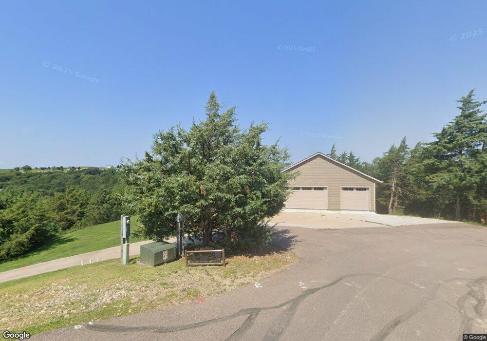
301 Ridge Loop Crofton, NE 68730
Estimated Value: $582,143 - $683,000
Studio
--
Bath
2,660
Sq Ft
$238/Sq Ft
Est. Value
About This Home
This home is located at 301 Ridge Loop, Crofton, NE 68730 and is currently estimated at $634,036, approximately $238 per square foot. 301 Ridge Loop is a home with nearby schools including Crofton Elementary School and Crofton High School.
Ownership History
Date
Name
Owned For
Owner Type
Purchase Details
Closed on
Nov 17, 2022
Sold by
Lutt Rodney L and Lutt Christin E
Bought by
Harder Troy Bradley and Harder Michelle Desiree
Current Estimated Value
Purchase Details
Closed on
Apr 17, 2006
Sold by
Tramp James F & Jean K Trustees
Bought by
Lutt Rod and Cook Christin
Create a Home Valuation Report for This Property
The Home Valuation Report is an in-depth analysis detailing your home's value as well as a comparison with similar homes in the area
Purchase History
| Date | Buyer | Sale Price | Title Company |
|---|---|---|---|
| Harder Troy Bradley | $536,500 | -- | |
| Lutt Rod | $60,000 | -- |
Source: Public Records
Tax History
| Year | Tax Paid | Tax Assessment Tax Assessment Total Assessment is a certain percentage of the fair market value that is determined by local assessors to be the total taxable value of land and additions on the property. | Land | Improvement |
|---|---|---|---|---|
| 2025 | $3,729 | $468,425 | $69,210 | $399,215 |
| 2024 | $4,477 | $403,450 | $69,210 | $334,240 |
| 2023 | $4,477 | $368,630 | $69,210 | $299,420 |
| 2022 | $4,205 | $327,740 | $69,210 | $258,530 |
| 2021 | $3,727 | $303,545 | $48,415 | $255,130 |
| 2020 | $3,746 | $303,545 | $48,415 | $255,130 |
| 2019 | $3,761 | $303,545 | $48,415 | $255,130 |
| 2018 | $3,576 | $286,725 | $48,415 | $238,310 |
| 2017 | $3,534 | $286,725 | $48,415 | $238,310 |
| 2016 | $3,550 | $286,725 | $48,415 | $238,310 |
| 2015 | $2,929 | $232,790 | $48,415 | $184,375 |
| 2014 | $2,162 | $160,700 | $48,415 | $112,285 |
| 2013 | $3,864 | $263,125 | $48,415 | $214,710 |
Source: Public Records
Map
Nearby Homes
- 55082 Winchester Dr
- TBD Crooked Oaks
- See Legal Lot 208
- See Legal Lot 207
- See Legal Lot 314
- See Legal Lot 401
- 25 Mary St
- 21 Ridge Rd
- See Legal Lot 206
- See Legal Lot 209
- 55310 Hwy 121
- 53301 Hwy 121
- 300 Calumet Cir
- 236 Drees Dr
- 112 Oki Dokie Ln
- 154 N Baycliffe Dr
- Lot 32 Baycliffe Dr
- TBD Vacation Dr
- 43490 S Dakota 52
- 252 Lewis & Clark Trail
Your Personal Tour Guide
Ask me questions while you tour the home.